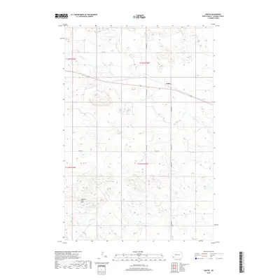
2018 Map of Griffin
USGS Topo · Published 2018About this map
Griffin serves as the focal point of this southwestern North Dakota landscape, situated along the corridor of Old Hwy 12. The terrain is defined by the significant rise of the Medicine Pole Hills to the southwest, a distinctive topographic landmark in Bowman County. A network of prairie drainages including Cold Turkey Cr, Alkali Cr, and Spring Cr carve through the sections, indicating the natural water flow toward the E Fork Deep Cr in the northeast. This 2018 survey illustrates the persistent rural grid system of the Public Land Survey System, showing the intersection of local routes like 153rd Ave SW and Griffin Rd that continue to support the region's agricultural and ranching operations.
Find a feature on this map
14 named features on this map. Tap any name to fly to it.
Don’t see what you’re looking for? This feature index may not catch every label — zoom into the map to look around manually.
Map Details
Editions of this 2018 Griffin Map
This is the sole edition of this map. No revisions or reprints were ever made.
Other maps of this area
1953 · Dickinson
USGS Topo · 1:250,000
1957 · Dickinson
USGS Topo · 1:250,000
1968 · Bowman SW
USGS Topo · 1:24,000
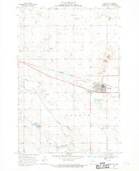
1968 · Bowman
USGS Topo · 1:24,000
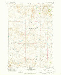
1973 · Camel Butte
USGS Topo · 1:24,000
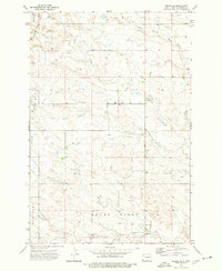
1973 · Rhame SE
USGS Topo · 1:24,000
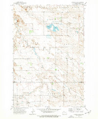
1973 · Stewart Lake
USGS Topo · 1:24,000
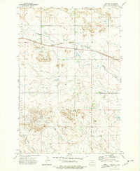
1973 · Griffin
USGS Topo · 1:24,000
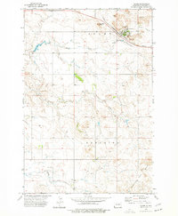
1973 · Rhame
USGS Topo · 1:24,000
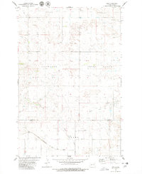
1979 · Ives
USGS Topo · 1:24,000