1968 Map of Bowman SW
USGS Topo · Published 1971About this map
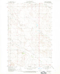
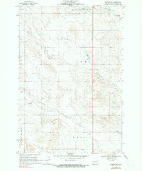
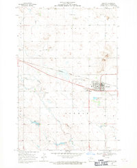
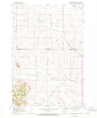
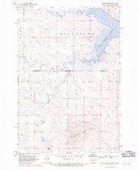
Cold Turkey Creek and Alkali Creek drain this southwestern corner of Bowman County during the late 1960s, a landscape defined by its rural townships and the headwaters of the Grand River. This survey, conducted under the administration of Governor William L. Guy, details the topography of townships including Bowman, Amor, Ladd, and Hart. The map illustrates the practical infrastructure of the era, from water management at Unks Dam to the localized extraction of resources at several Gravel Pits and a Scoria Pit. These features indicate the ongoing maintenance of the region's road networks and the agricultural reliance on the scattered Springs found throughout the drainages.
Find a feature on this map
11 named features on this map. Tap any name to fly to it.
Don’t see what you’re looking for? This feature index may not catch every label — zoom into the map to look around manually.
Map Details
Editions of this 1968 Bowman SW Map
2 editions found
Other maps of this area

1935 · Reva
USGS Topo · 1:125,000

1935 · Buffalo
USGS Topo · 1:125,000

1953 · Dickinson
USGS Topo · 1:250,000

1954 · Lemmon
USGS Topo · 1:250,000

1957 · Dickinson
USGS Topo · 1:250,000

1957 · Lemmon
USGS Topo · 1:250,000
1968 · Bowman
USGS Topo · 1:24,000
1968 · Eagles Nest Butte
USGS Topo · 1:24,000
1968 · Tepee Buttes
USGS Topo · 1:24,000
1969 · Ladner NE
USGS Topo · 1:24,000