
1973 Map of Rhame
USGS Topo · Published 1977About this map
Rhame serves as the focal point of this southwestern North Dakota landscape, situated along the Chicago Milwaukee St Paul and Pacific railroad line. The settlement's infrastructure in the 1970s is well-documented, featuring a Water Tank, Sewage Disposal Ponds, and distinctive Storage Bins that reflect its agricultural and logistical importance. The surrounding countryside in the townships of Rhame and Adelaide is defined by a network of drainage systems including Spring Creek, Coyote Creek, and Medicine Pole Creek, which flows near the prominent Medicine Pole Hills to the south.
Find a feature on this map
19 named features on this map. Tap any name to fly to it.
Don’t see what you’re looking for? This feature index may not catch every label — zoom into the map to look around manually.
Map Details
Editions of this 1973 Rhame Map
This is the sole edition of this map. No revisions or reprints were ever made.
Other maps of this area

1953 · Dickinson
USGS Topo · 1:250,000

1957 · Dickinson
USGS Topo · 1:250,000

1973 · Camel Butte
USGS Topo · 1:24,000
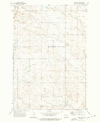
1973 · Rhame SE
USGS Topo · 1:24,000

1973 · Griffin
USGS Topo · 1:24,000

1973 · Cedar Hills
USGS Topo · 1:24,000
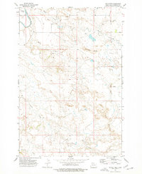
1973 · Mud Buttes
USGS Topo · 1:24,000

1979 · Ives
USGS Topo · 1:24,000

1981 · Bowman
USGS Topo · 1:100,000
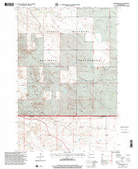
1997 · Marmarth SE
USGS Topo · 1:24,000