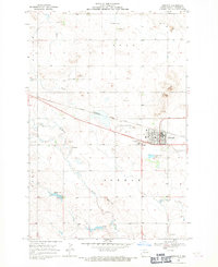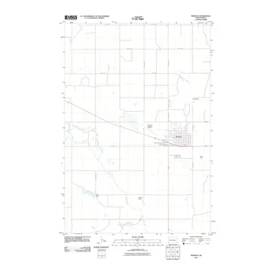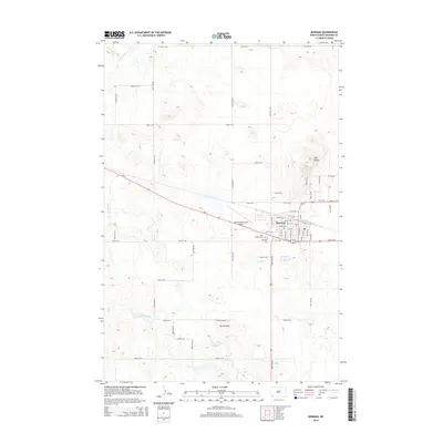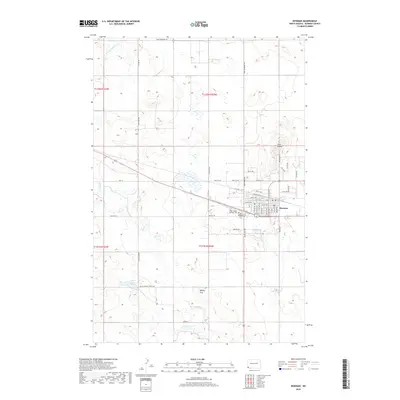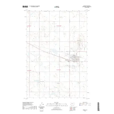
1981 Map of Bowman
USGS Topo · Published 1981About this map
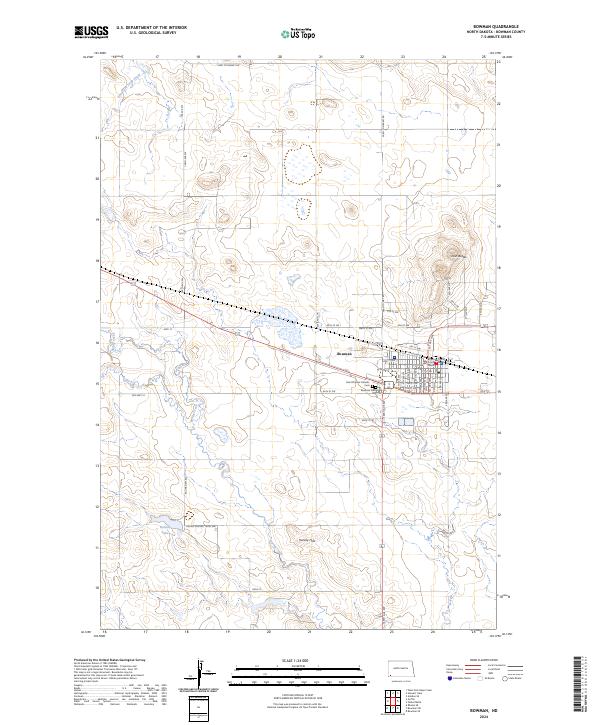
Little Missouri National Grassland dominates the western half of this 1981 landscape, where the Little Missouri River carves through the plains of southwestern North Dakota. The Chicago Milwaukee St Paul and Pacific railroad forms the region's central economic spine, connecting the major trade centers of Bowman and Scranton with smaller station points like Rhame, Griffin, and Ives. The map reveals a land defined by dramatic elevations, including White Butte, the highest point in the state, and a series of distinctive landmarks like East Rainy Butte and West Rainy Butte.
Find a feature on this map
61 named features on this map. Tap any name to fly to it.
Don’t see what you’re looking for? This feature index may not catch every label — zoom into the map to look around manually.
Map Details
Editions of this 1981 Bowman Map
This is the sole edition of this map. No revisions or reprints were ever made.
Historical Maps of Bowman Through Time
7 maps found