Old Maps of Kincaid, North Dakota for Hiking & Exploration
Hike through history with 11 historic maps of Kincaid. Explore old trails, ghost towns, and forgotten backroads — perfect for outdoor adventurers and local explorers.
- Rediscover forgotten places: Map out old mining camps, roads, and footpaths that no longer exist on modern maps.
- Layer with modern tools: Combine with LiDAR or satellite views to plan hikes through historical terrain.
- Made for exploration: Popular among hikers, overlanders, and local history lovers.
Use these maps to find adventure and explore the hidden past of Kincaid.
Kincaid, ND maps
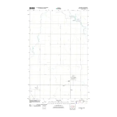
(11)- 1947 Map of Columbus, 1977 Print
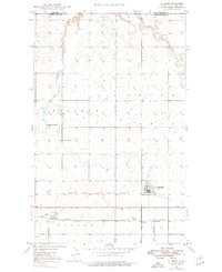 1947 Columbus1977 Print · USGSThe northern plains of Burke County meet the Canadian border in this mid-century survey of a remote rail corridor. Genealogists and historians can trace local ties to the Pleasant Prairie Ch, the town of Larson, and the Columbus Cem along the historic rail lines.
 - 1949 Map of Columbus
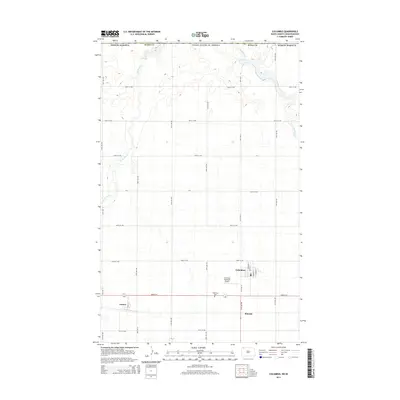
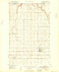 1949 Columbus1949 Print · USGSUpper Burke County sits along the international boundary in the late 1940s, showing a prairie landscape shaped by dual rail lines. Researchers can trace the heritage of Columbus and Larson or locate local landmarks like Pleasant Prairie Ch and Brookside Sch.
 - 1950 Map of Columbus
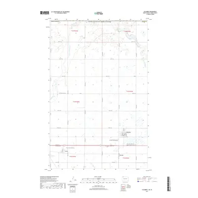
 1950 Columbus1950 Print · USGSThe Burke County borderlands at the dawn of the fifties reveal a landscape defined by international boundaries and a thriving coal industry. Local historians can trace the rail-side growth of Columbus and Kincaid, or locate rural landmarks like the Strip Mine and South St Olaf Ch.2 unique versions available
 - 1953 Map of Williston, 1968 Print
 1953 Williston1968 Print · USGSThe North Dakota high plains meet the waters of Sakakawea Lake in this mid-century survey of the northern borderlands. Trace the rail-and-ranch economy through sites like Anderson Sky Ranch, Sevenmile Corner, and the strip mines near Columbus.2 unique versions available
 - 1957 Map of Williston
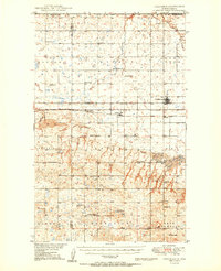
 1957 Williston1957 Print · USGSNorthwestern North Dakota is shown here during the mid-fifties, dominated by the sweeping plains and the Missouri River valley. Genealogists and local historians can trace the paths of the Great Northern railroad through Williston, Tioga, and Ray, or locate early industry like the coal strip mines near Lignite.
 - 1982 Map of Kenmare
 1982 Kenmare1982 Print · USGSThe high plains of northwestern North Dakota meet the Canadian border in the early 1980s, an era defined by energy production and prairie conservation. Genealogists and historians can trace the rail corridors of the Soo Line through towns like Bowbells, Flaxton, and the border crossing at Portal.
 - 2011 Map of Columbus, 2011 Print
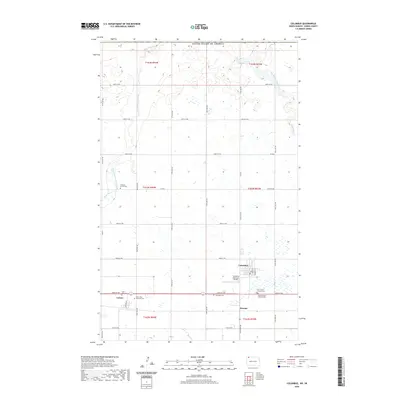
 2011 Columbus2011 Print · USGSCovers Kincaid, including Columbus, Larson, and other nearby areas
 - 2014 Map of Columbus, 2014 Print
 2014 Columbus2014 Print · USGSCovers Kincaid, including Columbus, Larson, and other nearby areas
 - 2017 Map of Columbus, 2017 Print
 2017 Columbus2017 Print · USGSCovers Kincaid, including Columbus, Larson, and other nearby areas
 - 2020 Map of Columbus, 2020 Print
 2020 Columbus2020 Print · USGSCovers Kincaid, including Columbus, Larson, and other nearby areas
 - 2024 Map of Columbus, 2024 Print
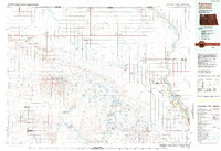
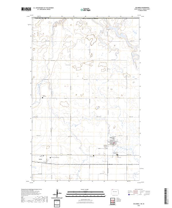 2024 Columbus2024 Print · USGSThe northern reaches of Burke County are documented here in the modern era, showing the prairie settlement patterns of Columbus and Larson. Researchers can trace local heritage through several sites, including Saint Michaels Catholic Cem and Columbus Municipal Airport.
End of results
Showing maps 1-11 of 11
Top cities near Kincaid
Frequently asked questions
- What are the different types of historical maps available for Kincaid?
- What is the oldest map of Kincaid?
- Where can I purchase historical maps of Kincaid for my home or office?
- Where can I download high-res historical maps of Kincaid?
- Are there historical topographic maps available for Kincaid?
- Is there historical aerial imagery available for Kincaid?
- Where are historical maps of Kincaid sourced from?