Old Maps of Sterling, North Dakota for Hiking & Exploration
Hike through history with 10 historic maps of Sterling. Explore old trails, ghost towns, and forgotten backroads — perfect for outdoor adventurers and local explorers.
- Rediscover forgotten places: Map out old mining camps, roads, and footpaths that no longer exist on modern maps.
- Layer with modern tools: Combine with LiDAR or satellite views to plan hikes through historical terrain.
- Made for exploration: Popular among hikers, overlanders, and local history lovers.
Use these maps to find adventure and explore the hidden past of Sterling.
Sterling, ND maps
(10)- 1951 Map of McKenzie, 1952 Print
 1951 McKenzie1952 Print · USGSMid-century Burleigh County comes alive here as a landscape of prairie townships and rail-side growth. Trace family roots at Sibley Cem or explore the early infrastructure of McKenzie and the Northern Pacific railroad near McKenzie Slough.
 - 1954 Map of Bismarck, 1967 Print
 1954 Bismarck1967 Print · USGSBismarck and the Missouri River basin are shown in the mid-1960s as the Oahe Reservoir reshaped the valley. Genealogists can trace family-named landmarks like Dog Tooth Buttes and small prairie settlements such as Fort Yates, Selfridge, and Brisbane.2 unique versions available
 - 1958 Map of Bismarck
 1958 Bismarck1958 Print · USGSCentral North Dakota in the late fifties is defined by the Missouri River and the sprawling Standing Rock Indian Reservation. Genealogists and historians can trace rail-line outposts like Sedalia Siding or explore local landmarks like Saint Anthony and Fort Lincoln State Park/Museum.
 - 1975 Map of Sterling, 1977 Print
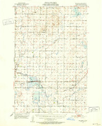
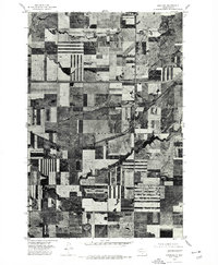 1975 Sterling1977 Print · USGSSterling and the central North Dakota plains are captured in the mid-seventies, showing the intersection of vital transport corridors. Genealogists and historians can trace the layout of the Sterling townsite and the rural tracts surrounding Random Creek.2 unique versions available
 - 1979 Map of Bismarck, 1980 Print
 1979 Bismarck1980 Print · USGSBismarck and Mandan sit at the heart of this late-century North Dakota survey, where the Missouri River flows past historic frontier outposts. Trace the old Soo Line rail corridors or locate family landmarks near St Anthony, Fort Rice, and Custer Flats.
 - 2011 Map of Sterling, 2011 Print
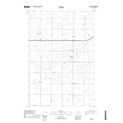
 2011 Sterling2011 Print · USGSCovers Sterling, including Burleigh County, United States, and other nearby areas
 - 2014 Map of Sterling, 2014 Print
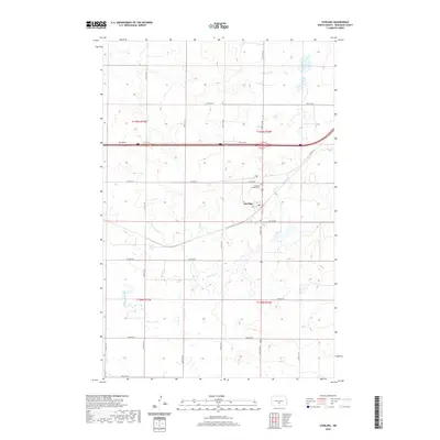
 2014 Sterling2014 Print · USGSCovers Sterling, including Burleigh County, United States, and other nearby areas
 - 2018 Map of Sterling, 2018 Print
 2018 Sterling2018 Print · USGSCovers Sterling, including Burleigh County, United States, and other nearby areas
 - 2020 Map of Sterling, 2020 Print
 2020 Sterling2020 Print · USGSCovers Sterling, including Burleigh County, United States, and other nearby areas
 - 2024 Map of Sterling, 2024 Print
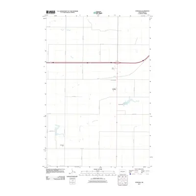
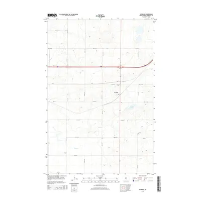
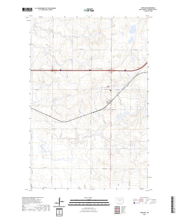 2024 Sterling2024 Print · USGSThe North Dakota prairie near the turn of the quarter-century remains a landscape of structured rural life and drainage basins. Genealogists can locate family landmarks like Sterling Union Cem and the community of Sterling, or trace the path of Random Creek.
End of results
Showing maps 1-10 of 10
Top cities near Sterling
Frequently asked questions
- What are the different types of historical maps available for Sterling?
- What is the oldest map of Sterling?
- Where can I purchase historical maps of Sterling for my home or office?
- Where can I download high-res historical maps of Sterling?
- Are there historical topographic maps available for Sterling?
- Is there historical aerial imagery available for Sterling?
- Where are historical maps of Sterling sourced from?