Old Maps of Wogansport, North Dakota
Explore 10 old maps of Wogansport, spanning from 1950 to today. These high-resolution historic maps reveal how streets, neighborhoods, landmarks, and natural features evolved over time — perfect for genealogy, metal detecting, research, and local history exploration.
What you can do with these maps:
- See how Wogansport changed over time: Compare historical maps to modern-day views to trace roads, homesites, rail lines & more.
- View detailed metadata: Each map includes creators, publishers, year, scale, and archive source.
- Overlay maps with satellite & LiDAR: Visualize the past alongside modern tools to explore terrain & human change.
- Trusted historical sources: Maps sourced from the USGS, Library of Congress, and other archives.
- Access maps your way: View online, download high-res files, or order prints for personal or research use.
Start exploring old maps of Wogansport to uncover forgotten places, hidden landmarks, and the deep history beneath your feet.
Wogansport, ND maps
(10)- 1950 Map of Wilton
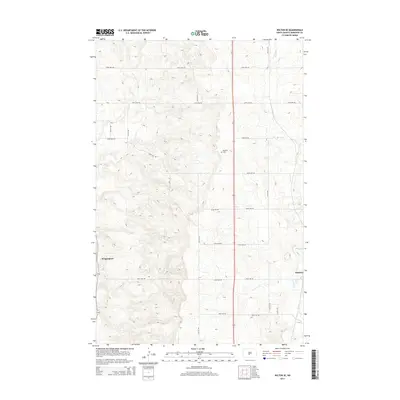
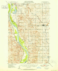 1950 Wilton1950 Print · USGSThe Missouri River breaks and upland prairies of McLean and Burleigh counties are mapped here at mid-century. Genealogists can locate family names via numerous rural landmarks, from Painted Woods Ch and Wing Cem to several local schoolhouses like School No 2.2 unique versions available
 - 1954 Map of McClusky, 1968 Print
 1954 McClusky1968 Print · USGSCentral North Dakota was undergoing a profound transformation in the fifties as the newly formed Lake Sakakawea reshaped the Missouri River valley. Genealogists and historians can trace rail-town development along the Soo Line and locate historic markers like Garrison Dam or the Lewis and Clark Trail.3 unique versions available
 - 1958 Map of McClusky
 1958 McClusky1958 Print · USGSCentral North Dakota was undergoing a profound change in the late fifties as the Garrison Reservoir filled behind its massive new dam. Trace the early layout of Riverdale, the Lewis and Clark Trail, and the vanishing rail stops of the Northern Pacific.
 - 1966 Map of Wilton SE, 1967 Print
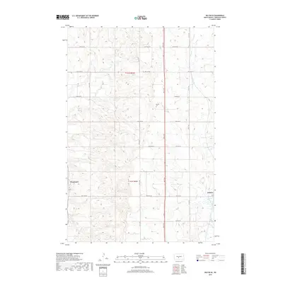
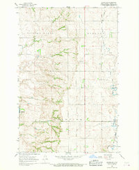 1966 Wilton SE1967 Print · USGSThe Missouri River bluffs and rolling prairie of Burleigh County are shown here in the mid-1960s. Researchers can trace the Soo Line railroad through Baldwin or locate rural sites like Rosehill Cem and several numbered schoolhouses.2 unique versions available
 - 1979 Map of McClusky, 1980 Print
 1979 McClusky1980 Print · USGSSheridan and Burleigh Counties are shown here during the late twentieth century, when the McClusky Canal and the Burlington Northern railroad shaped the rural economy. Researchers can locate historic town centers like Pickardville and Arena alongside numerous game management areas and local landmarks like Haystack Butte.
 - 2011 Map of Wilton SE, 2011 Print
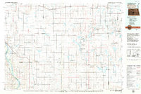
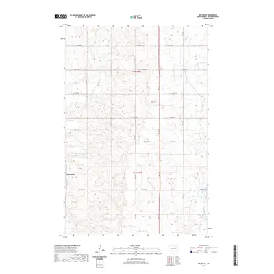
 2011 Wilton SE2011 Print · USGSCovers Wogansport, including Burleigh County, United States, and other nearby areas
 - 2014 Map of Wilton SE, 2014 Print
 2014 Wilton SE2014 Print · USGSCovers Wogansport, including Burleigh County, United States, and other nearby areas
 - 2018 Map of Wilton SE, 2018 Print
 2018 Wilton SE2018 Print · USGSCovers Wogansport, including Burleigh County, United States, and other nearby areas
 - 2020 Map of Wilton SE, 2020 Print
 2020 Wilton SE2020 Print · USGSCovers Wogansport, including Burleigh County, United States, and other nearby areas
 - 2024 Map of Wilton SE, 2024 Print
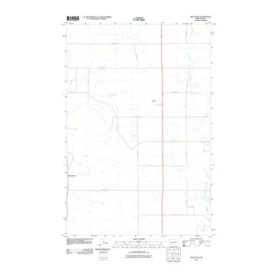
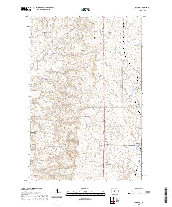 2024 Wilton SE2024 Print · USGSThe rural expanses of Burleigh County are documented here in the modern era, showing the enduring agricultural grid of the North Dakota plains. Genealogists and local historians can locate Rosehill Cem and trace the small communities of Wogansport and Baldwin.
End of results
Showing maps 1-10 of 10
Top cities near Wogansport
Frequently asked questions
- What are the different types of historical maps available for Wogansport?
- What is the oldest map of Wogansport?
- Where can I purchase historical maps of Wogansport for my home or office?
- Where can I download high-res historical maps of Wogansport?
- Are there historical topographic maps available for Wogansport?
- Is there historical aerial imagery available for Wogansport?
- Where are historical maps of Wogansport sourced from?