2020s Maps of Amenia Township, North Dakota
Explore 8 historic maps of Amenia Township from the 2020s. These maps offer a rare glimpse into what life looked like during the 2020s — showing old roads, neighborhoods, homes, and landmarks that have changed or disappeared over time.
Whether you're researching your family's past, planning a metal detecting trip, or studying how Amenia Township's landscape evolved across the 2020s, these high-resolution maps are a powerful tool for exploring the history of this region.
- Focus on a specific era: All maps on this page are from the 2020s, giving you a focused view of this time period.
- See what’s changed: Compare century-old streets, trails, and buildings to today's modern landscape using overlays and satellite layers.
- Research with precision: Use these maps for genealogy, historical research, land use analysis, or educational projects.
- View, download, or print: Maps are fully viewable online in high resolution, and can be downloaded or printed for your own records.
Start exploring Amenia Township's history through authentic maps from the 2020s. This is your window into the past.
Amenia Township, ND maps
(8)- 2020 Map of Wheatland, 2020 Print
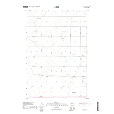 2020 Wheatland2020 Print · USGSCovers Amenia Township, including Wheatland, Everest Township, and other nearby areas
 - 2020 Map of Casselton, 2020 Print
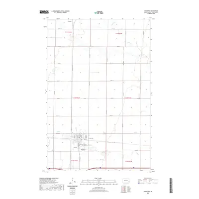 2020 Casselton2020 Print · USGSCovers Amenia Township, including Casselton, Amenia, and other nearby areas
 - 2020 Map of Ayr SE, 2020 Print
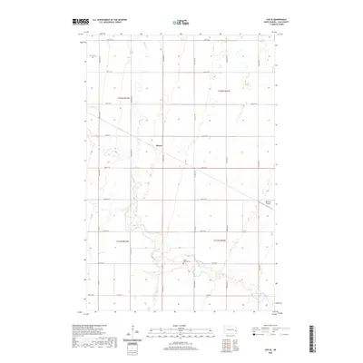 2020 Ayr SE2020 Print · USGSCovers Amenia Township, including Erie, Arthur Township, and other nearby areas
 - 2020 Map of Arthur, 2020 Print
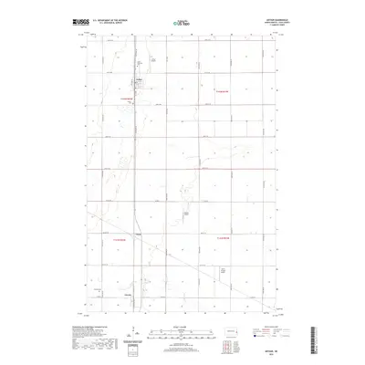 2020 Arthur2020 Print · USGSCovers Amenia Township, including Arthur, Amenia, and other nearby areas
 - 2024 Map of Casselton, 2024 Print
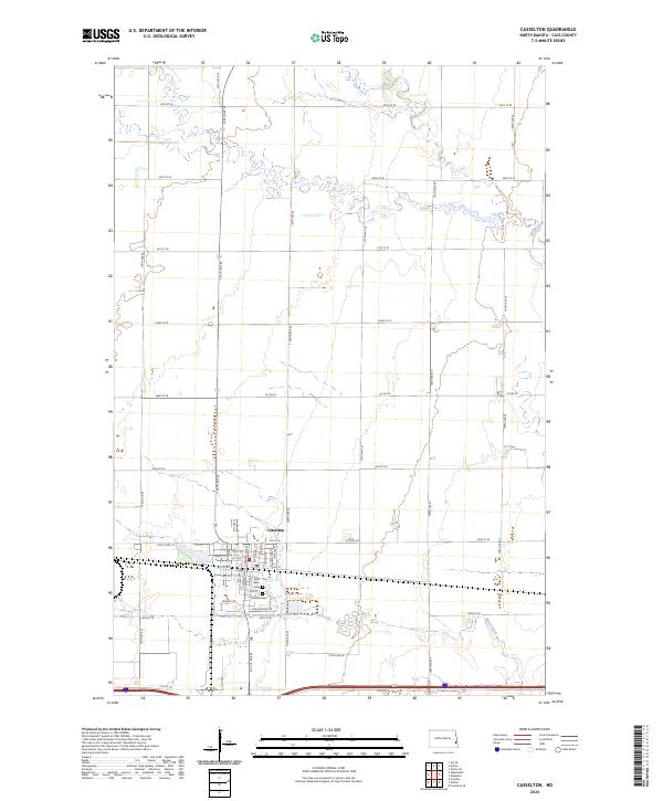 2024 Casselton2024 Print · USGSCasselton and the surrounding Cass County plains are captured here in the mid-2020s, showing a landscape defined by industrial agriculture and small-town growth. Researchers can trace local heritage at Saint Leo's Cem or follow the winding course of the Rush River.
 - 2024 Map of Arthur, 2024 Print
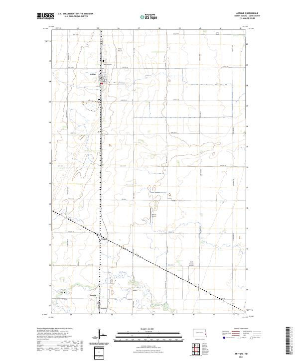 2024 Arthur2024 Print · USGSCass County's agricultural prairie is documented here in the 2020s, showing the enduring layout of rural townships and local hubs. Researchers can locate family sites near Good Samaritan Cem, the settlement of Amenia, and the winding Rush River.
 - 2024 Map of Ayr SE, 2024 Print
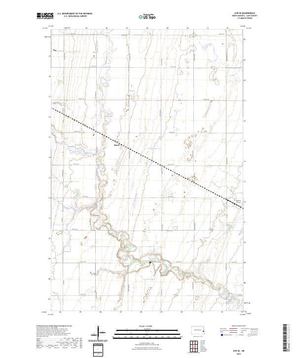 2024 Ayr SE2024 Print · USGSCass County agriculture and the winding Rush River define this rural landscape as it appeared in 2024. Genealogists and local historians can trace family roots around the village of Erie, the settlement at Mason, and the Saint Martins Cem.
 - 2024 Map of Wheatland, 2024 Print
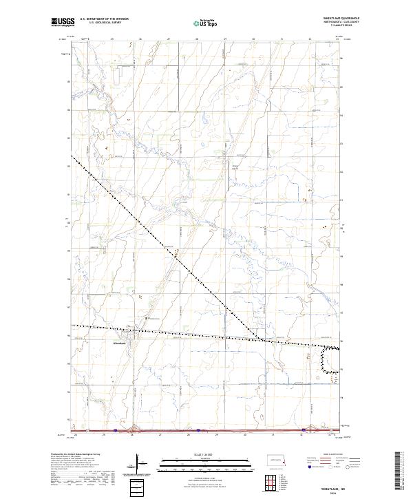 2024 Wheatland2024 Print · USGSThe agricultural plains of Cass County are shown here in the 2020s, centered on the historic crossroads of Wheatland. Researchers can trace local landmarks like Wheatland Cem, follow the winding Swan Creek, and locate the rural Vining Airport.
End of results
Showing maps 1-8 of 8
Top cities near Amenia Township
- Casselton historical maps
- Mapleton historical maps
- Arthur historical maps
- Hunter historical maps
- Wheatland historical maps
- Erie historical maps
See more
Top neighborhoods of Amenia Township
Frequently asked questions
- What are the different types of historical maps available for Amenia Township?
- What is the oldest map of Amenia Township?
- Where can I purchase historical maps of Amenia Township for my home or office?
- Where can I download high-res historical maps of Amenia Township?
- Are there historical topographic maps available for Amenia Township?
- Is there historical aerial imagery available for Amenia Township?
- Where are historical maps of Amenia Township sourced from?