Old Maps of Amenia Township, North Dakota for Metal Detecting
Plan your next treasure hunt with 34 historic maps of Amenia Township. Find old homesites, ghost towns, trails, and gathering spots that may be lost to time — perfect for identifying promising metal detecting locations.
- Locate forgotten sites: Uncover places like long-lost settlements, abandoned rail lines, or gathering spots.
- Plan better hunts: Use map overlays combined with LiDAR or satellite views to narrow in on historically rich areas.
- Made for detectorists: Thousands of hobbyists use these maps to discover relics, coins, and hidden history.
Use these historic maps to boost your research and find new opportunities beneath the surface of Amenia Township.
Amenia Township, ND maps
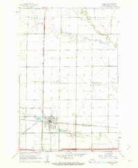
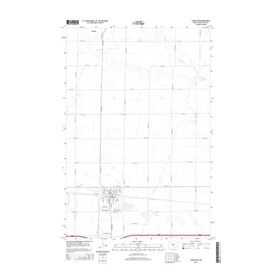
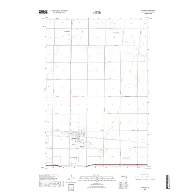
(34)- 1895 Map of Casselton, 1961 Print
 1895 Casselton1961 Print · USGSNorth Dakota's Red River Valley rail network is in full bloom in the 1890s, with towns emerging at every major junction. Trace early post offices and depots at Chaffee P.O., Embden, and Ripon along the Northern Pacific R. R.
 - 1897 Map of Casselton
 1897 Casselton1897 Print · USGSCass County’s agricultural heartland is captured here in the 1890s, when new rail lines were defining the North Dakota prairie. Genealogists can trace family locations near early hubs like Casselton, the Chaffee P.O. settlement, and the banks of the Maple River.3 unique versions available
 - 1952 Map of Grand Forks, 1967 Print
 1952 Grand Forks1967 Print · USGSThe Red River Valley in the early fifties is shown here at the height of its rail-and-river agricultural economy. Researchers can locate small-town landmarks like the Pleasant View School, the Immanuel Lutheran Church, and trace the path of the Soo Line Railroad.3 unique versions available
 - 1953 Map of Fargo, 1965 Print
 1953 Fargo1965 Print · USGSThe Red River Valley in the mid-fifties was a bustling rail and agricultural corridor during a period of steady prairie growth. Genealogists and historians can trace the intricate rail networks of the Great Northern and Soo Line connecting local hubs like Casselton and Wahpeton.2 unique versions available
 - 1956 Map of Fargo
 1956 Fargo1956 Print · USGSThe Red River Valley's agricultural heartland is documented here in the mid-fifties as the rail-and-road network expanded across the plains. Genealogists can trace family roots through numerous small railroad towns and local landmarks like Casselton, Sheyenne Valley Church, and Sisseton Indian Res.
 - 1956 Map of Grand Forks
 1956 Grand Forks1956 Print · USGSThe Red River Valley in the mid-fifties is captured here as a thriving corridor of grain elevators and rail-linked towns along the North Dakota and Minnesota border. Researchers can trace historic church sites like Immanuel Lutheran Church, vanished rail stops at Tilde Junction, and the boundaries of the White Earth Indian Reservation.
 - 1961 Map of Casselton, 1963 Print
 1961 Casselton1963 Print · USGSThe rail-driven economy of Cass County is on full display in the early sixties at this junction of two major lines. Genealogists and historians can trace the development of Casselton near St Leo Cem and the industrial Dalrymple Spur.2 unique versions available
 - 1966 Map of Grand Forks
 1966 Grand Forks1966 Print · USGSThe Red River Valley in the mid-sixties shows a landscape shaped by rail-line commerce and complex water management. Genealogists and historians can trace rail-side towns like Emerado and Hunter or locate rural landmarks like the Pleasant View Church.
 - 1967 Map of Wheatland, 1969 Print
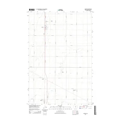
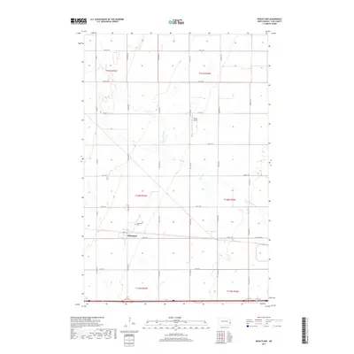
 1967 Wheatland1969 Print · USGSWheatland and the surrounding prairie of Cass County are documented here during the late sixties as the interstate era began to reshape rural North Dakota. Genealogists and rail historians can trace the Northern Pacific line, the Wheatland Cem, and the old Townhall.
 - 1967 Map of Ayr SE, 1969 Print
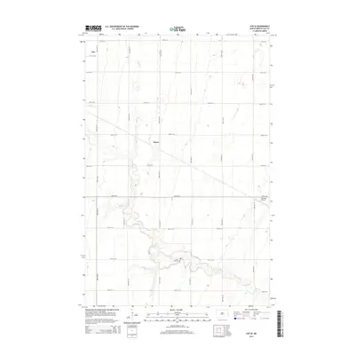
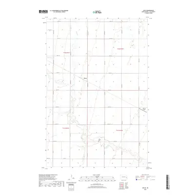
 1967 Ayr SE1969 Print · USGSThe Red River Valley's agricultural grid is well-defined in the late sixties as the rail lines and riverbanks shape local life. Genealogists and researchers can locate St Martins Cem, the settlement of Mason, and the winding path of the Rush River.
 - 1967 Map of Arthur, 1969 Print
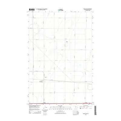
 1967 Arthur1969 Print · USGSThe Red River Valley prairie in the late sixties shows a landscape defined by the Great Northern railroad and the winding Rush River. Genealogists and local historians can locate Arthur Cem, the Good Samaritan Cem, and small rail stops like Vance.
 - 1985 Map of Hillsboro
 1985 Hillsboro1985 Print · USGSEastern North Dakota’s expansive farming country is mapped here in the mid-1980s, showing the vital link between rail lines and prairie towns. Genealogists and historians can trace family locations near Mayville, Sherbrooke, and the Mayville Cem.2 unique versions available
 - 1986 Map of Casselton
 1986 Casselton1986 Print · USGSEastern North Dakota in the mid-1980s was a landscape defined by the intersection of the Sheyenne River and major rail lines. Researchers can trace the development of agricultural hubs like Enderlin and Casselton or locate the Griswold Mine and Memory Gardens Cem.2 unique versions available
 - 1989 Map of Fargo, 1990 Print
 1989 Fargo1990 Print · USGSThe Red River Valley at the end of the eighties shows a landscape of flourishing university towns and vital rail corridors. Researchers can trace family roots through Riverside Cem, find early campus layouts for North Dakota State University, or follow the Soo Line Railroad through West Fargo.
 - 2011 Map of Arthur, 2011 Print
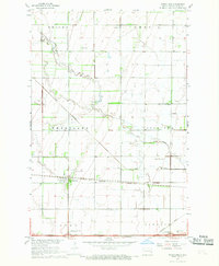
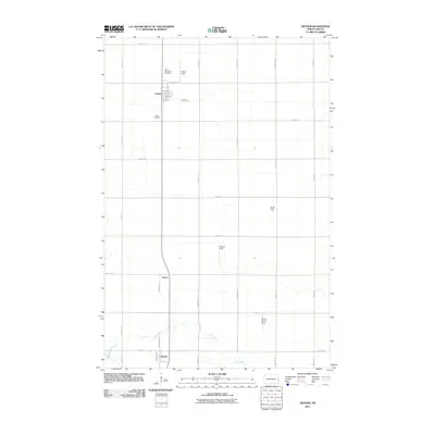 2011 Arthur2011 Print · USGSCovers Amenia Township, including Arthur, Amenia, and other nearby areas
 - 2011 Map of Ayr SE, 2011 Print
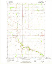
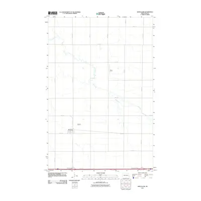
 2011 Ayr SE2011 Print · USGSCovers Amenia Township, including Erie, Arthur Township, and other nearby areas
 - 2011 Map of Wheatland, 2011 Print
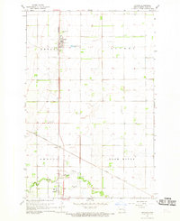
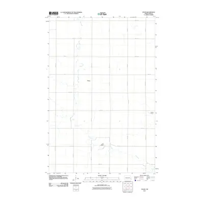
 2011 Wheatland2011 Print · USGSCovers Amenia Township, including Wheatland, Everest Township, and other nearby areas
 - 2011 Map of Casselton, 2011 Print
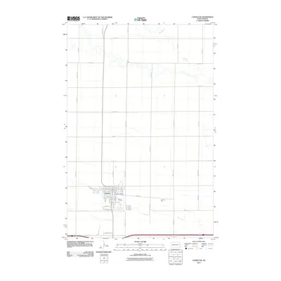 2011 Casselton2011 Print · USGSCovers Amenia Township, including Casselton, Amenia, and other nearby areas
 - 2014 Map of Ayr SE, 2014 Print
 2014 Ayr SE2014 Print · USGSCovers Amenia Township, including Erie, Arthur Township, and other nearby areas
 - 2014 Map of Arthur, 2014 Print
 2014 Arthur2014 Print · USGSCovers Amenia Township, including Arthur, Amenia, and other nearby areas
 - 2014 Map of Casselton, 2014 Print
 2014 Casselton2014 Print · USGSCovers Amenia Township, including Casselton, Amenia, and other nearby areas
 - 2014 Map of Wheatland, 2014 Print
 2014 Wheatland2014 Print · USGSCovers Amenia Township, including Wheatland, Everest Township, and other nearby areas
 - 2017 Map of Wheatland, 2017 Print
 2017 Wheatland2017 Print · USGSCovers Amenia Township, including Wheatland, Everest Township, and other nearby areas
 - 2017 Map of Casselton, 2017 Print
 2017 Casselton2017 Print · USGSCovers Amenia Township, including Casselton, Amenia, and other nearby areas
 - 2018 Map of Ayr SE, 2018 Print
 2018 Ayr SE2018 Print · USGSCovers Amenia Township, including Erie, Arthur Township, and other nearby areas
Showing maps 1-25 of 34
Top cities near Amenia Township
- Casselton historical maps
- Mapleton historical maps
- Arthur historical maps
- Hunter historical maps
- Wheatland historical maps
- Erie historical maps
See more
Top neighborhoods of Amenia Township
Frequently asked questions
- What are the different types of historical maps available for Amenia Township?
- What is the oldest map of Amenia Township?
- Where can I purchase historical maps of Amenia Township for my home or office?
- Where can I download high-res historical maps of Amenia Township?
- Are there historical topographic maps available for Amenia Township?
- Is there historical aerial imagery available for Amenia Township?
- Where are historical maps of Amenia Township sourced from?