Old Maps of Eldred Township, North Dakota for Genealogy
Trace your family roots with 31 historic maps of Eldred Township. These high-res maps reveal old neighborhoods, homesites, landmarks, and streets — helping you uncover where your ancestors lived and how the area evolved over time.
- Explore historic neighborhoods: Identify where your relatives may have lived in the 1800s or 1900s.
- Compare maps over time: Trace the changes in streets, buildings, and landmarks for multi-generational research.
- Perfect for genealogy & ancestry research: Used by family historians and researchers to map out lineage and migration.
These maps are an incredible resource for exploring your personal connection to Eldred Township's past.
Eldred Township, ND maps
(31)- 1895 Map of Casselton, 1961 Print
 1895 Casselton1961 Print · USGSNorth Dakota's Red River Valley rail network is in full bloom in the 1890s, with towns emerging at every major junction. Trace early post offices and depots at Chaffee P.O., Embden, and Ripon along the Northern Pacific R. R.
 - 1897 Map of Tower
 1897 Tower1897 Print · USGSIn the late nineteenth century, the expansion of the northern plains centered on the intersection of the Sheyenne River and the arriving railroads. Genealogists and historians can trace early township plats and rail-stop settlements like Valley City, Fingal, and Enderlin.3 unique versions available
 - 1897 Map of Casselton
 1897 Casselton1897 Print · USGSCass County’s agricultural heartland is captured here in the 1890s, when new rail lines were defining the North Dakota prairie. Genealogists can trace family locations near early hubs like Casselton, the Chaffee P.O. settlement, and the banks of the Maple River.3 unique versions available
 - 1953 Map of Fargo, 1965 Print
 1953 Fargo1965 Print · USGSThe Red River Valley in the mid-fifties was a bustling rail and agricultural corridor during a period of steady prairie growth. Genealogists and historians can trace the intricate rail networks of the Great Northern and Soo Line connecting local hubs like Casselton and Wahpeton.2 unique versions available
 - 1956 Map of Fargo
 1956 Fargo1956 Print · USGSThe Red River Valley's agricultural heartland is documented here in the mid-fifties as the rail-and-road network expanded across the plains. Genealogists can trace family roots through numerous small railroad towns and local landmarks like Casselton, Sheyenne Valley Church, and Sisseton Indian Res.
 - 1961 Map of Sheldon NW, 1963 Print
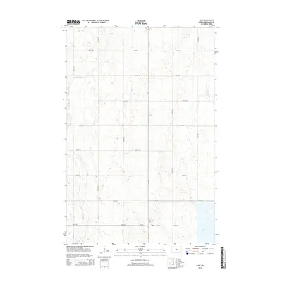
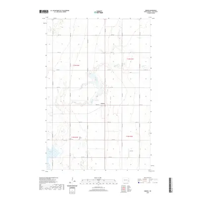
 1961 Sheldon NW1963 Print · USGSThe rural prairie of Cass County is captured here in the early 1960s as the agricultural grid defined life along the Maple River valley. Researchers can locate vanished rural landmarks such as School No 83, a local Townhall, and a mid-century Landing Strip.
 - 1961 Map of Enderlin North, 1963 Print
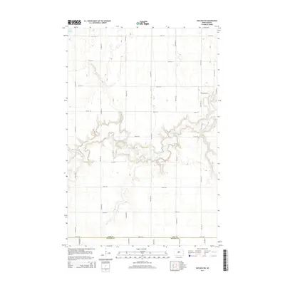
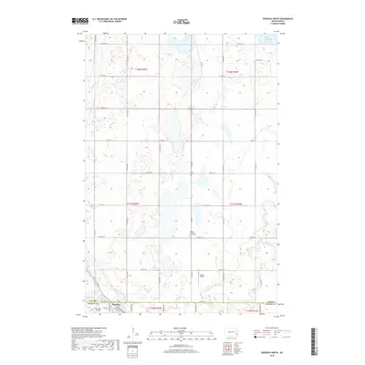
 1961 Enderlin North1963 Print · USGSThe borderlands of Cass and Ransom counties are captured here in the early sixties, centered on the growing town of Enderlin. Researchers can locate rural landmarks like Salem Cem, the NORTHERN PACIFIC rail line, and the winding course of the Maple River.
 - 1965 Map of Alice, 1967 Print
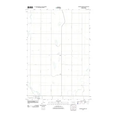
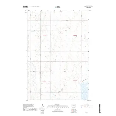
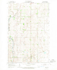 1965 Alice1967 Print · USGSThe village of Alice and the surrounding prairie townships are captured here in the mid-sixties, centered on the Northern Pacific rail corridor. Researchers can trace the meandering Maple River and locate specific local operations like the scattered Gravel Pits.
 - 1967 Map of Embden, 1969 Print
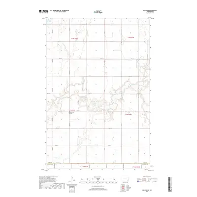
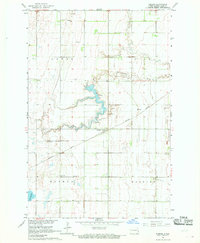 1967 Embden1969 Print · USGSCass County agriculture and rail life are at the forefront of this late-sixties survey of the North Dakota prairie. Genealogists and local historians can trace family roots through sites like St Johannes Cem, Tabor Cem, and the community of Embden.
 - 1986 Map of Casselton
 1986 Casselton1986 Print · USGSEastern North Dakota in the mid-1980s was a landscape defined by the intersection of the Sheyenne River and major rail lines. Researchers can trace the development of agricultural hubs like Enderlin and Casselton or locate the Griswold Mine and Memory Gardens Cem.2 unique versions available
 - 1989 Map of Fargo, 1990 Print
 1989 Fargo1990 Print · USGSThe Red River Valley at the end of the eighties shows a landscape of flourishing university towns and vital rail corridors. Researchers can trace family roots through Riverside Cem, find early campus layouts for North Dakota State University, or follow the Soo Line Railroad through West Fargo.
 - 2011 Map of Alice, 2011 Print
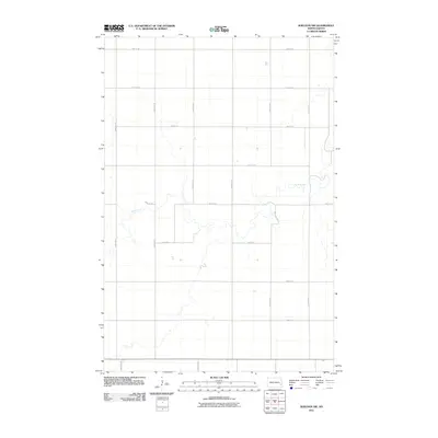
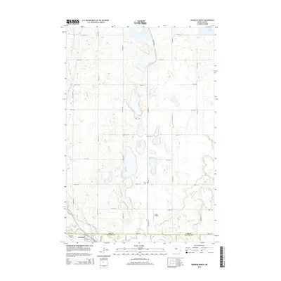
 2011 Alice2011 Print · USGSCovers Eldred Township, including Alice, Howes Township, and other nearby areas
 - 2011 Map of Embden, 2011 Print
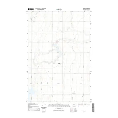
 2011 Embden2011 Print · USGSCovers Eldred Township, including Howes Township, Embden, and other nearby areas
 - 2011 Map of Sheldon NW, 2011 Print
 2011 Sheldon NW2011 Print · USGSCovers Eldred Township, including Coburn Township, Greene Township, and other nearby areas
 - 2011 Map of Enderlin North, 2011 Print
 2011 Enderlin North2011 Print · USGSCovers Eldred Township, including Enderlin, Pontiac Township, and other nearby areas
 - 2014 Map of Sheldon NW, 2014 Print
 2014 Sheldon NW2014 Print · USGSCovers Eldred Township, including Coburn Township, Greene Township, and other nearby areas
 - 2014 Map of Alice, 2014 Print
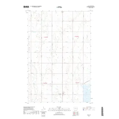
 2014 Alice2014 Print · USGSCovers Eldred Township, including Alice, Howes Township, and other nearby areas
 - 2014 Map of Enderlin North, 2014 Print
 2014 Enderlin North2014 Print · USGSCovers Eldred Township, including Enderlin, Pontiac Township, and other nearby areas
 - 2014 Map of Embden, 2014 Print
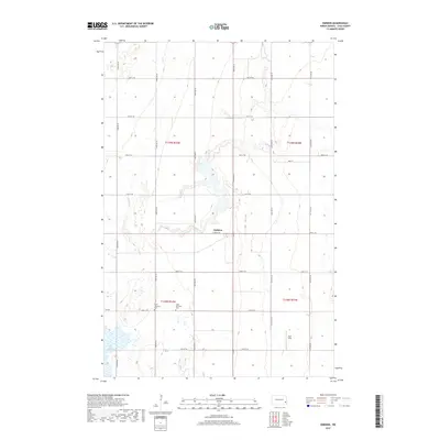
 2014 Embden2014 Print · USGSCovers Eldred Township, including Howes Township, Embden, and other nearby areas
 - 2017 Map of Embden, 2017 Print
 2017 Embden2017 Print · USGSCovers Eldred Township, including Howes Township, Embden, and other nearby areas
 - 2018 Map of Alice, 2018 Print
 2018 Alice2018 Print · USGSCovers Eldred Township, including Alice, Howes Township, and other nearby areas
 - 2018 Map of Enderlin North, 2018 Print
 2018 Enderlin North2018 Print · USGSCovers Eldred Township, including Enderlin, Pontiac Township, and other nearby areas
 - 2018 Map of Sheldon NW, 2018 Print
 2018 Sheldon NW2018 Print · USGSCovers Eldred Township, including Coburn Township, Greene Township, and other nearby areas
 - 2020 Map of Alice, 2020 Print
 2020 Alice2020 Print · USGSCovers Eldred Township, including Alice, Howes Township, and other nearby areas
 - 2020 Map of Embden, 2020 Print
 2020 Embden2020 Print · USGSCovers Eldred Township, including Howes Township, Embden, and other nearby areas
Showing maps 1-25 of 31
Top cities near Eldred Township
- Enderlin historical maps
- Tower City historical maps
- Buffalo historical maps
- Wheatland historical maps
- Sheldon historical maps
- Everest Township historical maps
See more
Top neighborhoods of Eldred Township
Frequently asked questions
- What are the different types of historical maps available for Eldred Township?
- What is the oldest map of Eldred Township?
- Where can I purchase historical maps of Eldred Township for my home or office?
- Where can I download high-res historical maps of Eldred Township?
- Are there historical topographic maps available for Eldred Township?
- Is there historical aerial imagery available for Eldred Township?
- Where are historical maps of Eldred Township sourced from?