Old Maps of Warren Township, North Dakota for Hiking & Exploration
Hike through history with 33 historic maps of Warren Township. Explore old trails, ghost towns, and forgotten backroads — perfect for outdoor adventurers and local explorers.
- Rediscover forgotten places: Map out old mining camps, roads, and footpaths that no longer exist on modern maps.
- Layer with modern tools: Combine with LiDAR or satellite views to plan hikes through historical terrain.
- Made for exploration: Popular among hikers, overlanders, and local history lovers.
Use these maps to find adventure and explore the hidden past of Warren Township.
Warren Township, ND maps
(33)- 1895 Map of Fargo, 1954 Print
 1895 Fargo1954 Print · USGSThe Red River Valley thrived as a rail and agricultural frontier during the 1890s, where North Dakota and Minnesota meet. Genealogists can trace family roots through pioneer settlements and rail stops like Kurtz (Elmer Sta.), Wild Rice, and Christine.3 unique versions available
 - 1895 Map of Casselton, 1961 Print
 1895 Casselton1961 Print · USGSNorth Dakota's Red River Valley rail network is in full bloom in the 1890s, with towns emerging at every major junction. Trace early post offices and depots at Chaffee P.O., Embden, and Ripon along the Northern Pacific R. R.
 - 1897 Map of Fargo
 1897 Fargo1897 Print · USGSThe Red River Valley at the close of the nineteenth century was a bustling intersection of rail lines and river commerce. Genealogists and historians can trace the early footprints of Fargo and Moorhead, or find smaller depots like Kurtz (Elmer Sta.) and Wild Rice.12 unique versions available
 - 1897 Map of Casselton
 1897 Casselton1897 Print · USGSCass County’s agricultural heartland is captured here in the 1890s, when new rail lines were defining the North Dakota prairie. Genealogists can trace family locations near early hubs like Casselton, the Chaffee P.O. settlement, and the banks of the Maple River.3 unique versions available
 - 1953 Map of Fargo, 1965 Print
 1953 Fargo1965 Print · USGSThe Red River Valley in the mid-fifties was a bustling rail and agricultural corridor during a period of steady prairie growth. Genealogists and historians can trace the intricate rail networks of the Great Northern and Soo Line connecting local hubs like Casselton and Wahpeton.2 unique versions available
 - 1956 Map of Fargo
 1956 Fargo1956 Print · USGSThe Red River Valley's agricultural heartland is documented here in the mid-fifties as the rail-and-road network expanded across the plains. Genealogists can trace family roots through numerous small railroad towns and local landmarks like Casselton, Sheyenne Valley Church, and Sisseton Indian Res.
 - 1959 Map of Kindred
 1959 Kindred1959 Print · USGSEastern North Dakota's fertile prairie is captured here in the late fifties, showcasing the vital rail intersections of the Red River Valley. Genealogists and local historians can trace the foundations of Davenport and Kindred, as well as rural sites like Christiania Ch and the German Cem.
 - 1959 Map of South West Fargo, 1960 Print
 1959 South West Fargo1960 Print · USGSCass County agriculture and the serpentine Sheyenne River define this area just before the interstate era transformed the outskirts of Fargo. Genealogists can locate St Johns Ch and rural burials at Horace Cem and Brink Cem.3 unique versions available
 - 1959 Map of Norman, 1960 Print
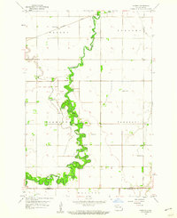 1959 Norman1960 Print · USGSSoutheastern North Dakota's agricultural heartland is documented here in the late fifties, dominated by the winding path of the Sheyenne River. Genealogists and historians can locate rural landmarks like Norman Cem and several numbered schoolhouses.2 unique versions available
 - 1961 Map of Casselton SE, 1963 Print
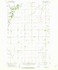 1961 Casselton SE1963 Print · USGSThe rural plains of Cass County are captured in the early sixties as a landscape of structured townships and winding river valleys. Genealogists and local historians can trace the paths of the Great Northern railroad and locate the central Townhall or local Cem.2 unique versions available
 - 1985 Map of Fargo
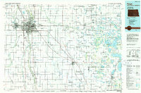 1985 Fargo1985 Print · USGSThe Red River Valley and the Minnesota lake country meet in this mid-1980s survey of the Fargo-Moorhead border region. Genealogists and researchers can trace the Burlington Northern rail corridors and find rural communities like Pelican Rapids, Sabin, and Dilworth.2 unique versions available
 - 1986 Map of Casselton
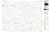 1986 Casselton1986 Print · USGSEastern North Dakota in the mid-1980s was a landscape defined by the intersection of the Sheyenne River and major rail lines. Researchers can trace the development of agricultural hubs like Enderlin and Casselton or locate the Griswold Mine and Memory Gardens Cem.2 unique versions available
 - 1989 Map of Fargo, 1990 Print
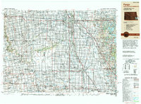 1989 Fargo1990 Print · USGSThe Red River Valley at the end of the eighties shows a landscape of flourishing university towns and vital rail corridors. Researchers can trace family roots through Riverside Cem, find early campus layouts for North Dakota State University, or follow the Soo Line Railroad through West Fargo.
 - 2011 Map of Norman, 2011 Print
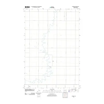 2011 Norman2011 Print · USGSThe Red River Valley's agricultural heritage is on display in this early twenty-first-century survey of Cass County. Genealogists and local historians can locate legacy sites like Norman Cemetery and Dokken Cemetery along the winding banks of the Sheyenne River near Norman.
 - 2011 Map of West Fargo South, 2011 Print
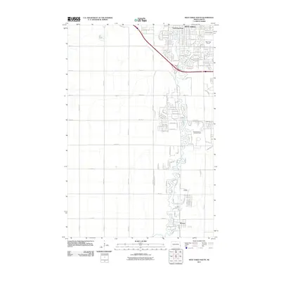 2011 West Fargo South2011 Print · USGSNorth Dakota's Red River Valley shows rapid suburban growth in the early 2000s south of the Fargo metro. Trace family history at Horace Cemetery and explore water management history at the Sheyenne River Diversion Dam.
 - 2011 Map of Kindred, 2011 Print
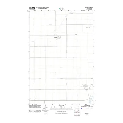 2011 Kindred2011 Print · USGSKindred and Davenport are captured during a period of agricultural stability in the Red River Valley. Researchers can trace family history through the Davenport Cemetery and German Cemetery, or locate aviation landmarks like Schroeder Field and Hamry Landing Field.
 - 2011 Map of Casselton SE, 2011 Print
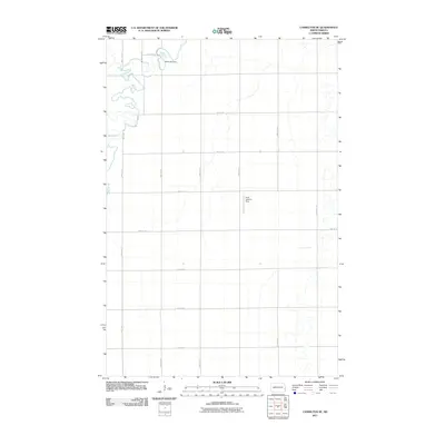 2011 Casselton SE2011 Print · USGSAgricultural North Dakota in the early 2010s is defined by its precise road grids and the wandering Maple River. Genealogists and local historians can trace the rural infrastructure around Brownlee Dam and the aviation history at the Kraft Landing Strip.
 - 2014 Map of Casselton SE, 2014 Print
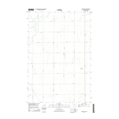 2014 Casselton SE2014 Print · USGSDurbin Township in the early twenty-first century shows a landscape dominated by the winding Maple River and structured section-line roads. Researchers can trace the path of Swan Cr and locate private runways like Kraft Airport and True North Airpark.
 - 2014 Map of Kindred, 2014 Print
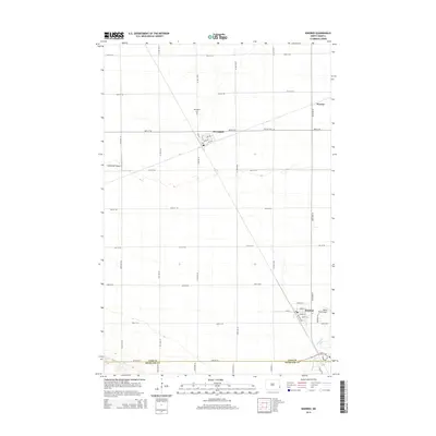 2014 Kindred2014 Print · USGSCass County agriculture and aviation define this area in the early twenty-first century. Genealogists and local historians can trace the street grids of Kindred and Davenport, locate the German Cem, or find the Schroeder Airport landing strip.
 - 2014 Map of Norman, 2014 Print
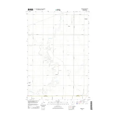 2014 Norman2014 Print · USGSThe rural landscape of Cass and Richland counties is documented here in the early twenty-first century as the Sheyenne River meanders toward Fargo. Researchers can locate family landmarks like Norman Cem, Dokken Cem, and Hamry Field Airport.
 - 2014 Map of West Fargo South, 2014 Print
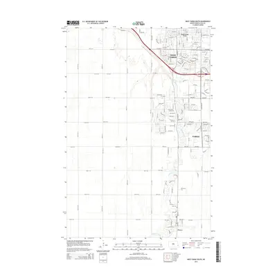 2014 West Fargo South2014 Print · USGSSouthern Cass County at the start of the twenty-first century shows a landscape in transition as residential growth follows the Sheyenne River. Researchers can trace the development of West Fargo and Horace or locate local burial grounds like Brink Cem and Horace Cem.
 - 2017 Map of Norman, 2017 Print
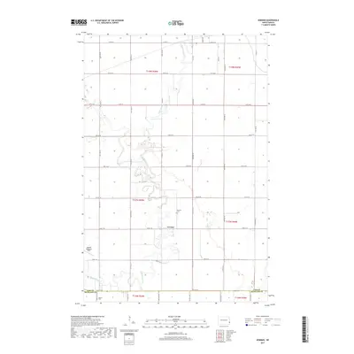 2017 Norman2017 Print · USGSThis part of the Red River Valley is documented in the mid-2010s, showing the dramatic meanders of the Sheyenne River. Local historians can trace the small settlement of Norman and its associated Norman Cem, alongside the Dokken Cem on the county line.
 - 2017 Map of West Fargo South, 2017 Print
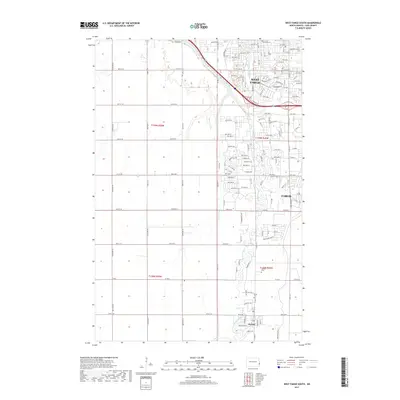 2017 West Fargo South2017 Print · USGSCass County's suburban expansion is in full view during the late 2010s as residential developments reach toward the town of Horace. Researchers can trace the modern street grid around West Fargo or find local sites like the Cem and the Sheyenne River.
 - 2017 Map of Casselton SE, 2017 Print
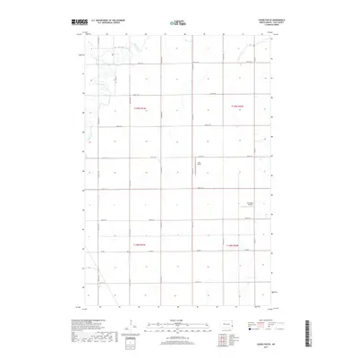 2017 Casselton SE2017 Print · USGSSoutheast of Casselton during the mid-2010s, this rural landscape reveals the rigid section-line grid of Cass County agriculture. Researchers can trace the winding Maple River or locate local aviation sites like Kraft Airport and True North Airpark among the fields.
 - 2017 Map of Kindred, 2017 Print
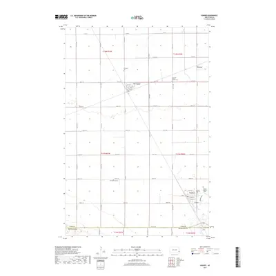 2017 Kindred2017 Print · USGSSoutheastern Cass County appears in the late 2010s, showing a well-ordered agricultural landscape between the Sheyenne River and local rail lines. Genealogists can locate family sites at the Christiania Cemetery, Davenport Cem, or the Robert Odegaard Field.
Showing maps 1-25 of 33
Top cities near Warren Township
- Fargo historical maps
- West Fargo historical maps
- Moorhead historical maps
- Casselton historical maps
- Horace historical maps
- Harwood historical maps
See more
Frequently asked questions
- What are the different types of historical maps available for Warren Township?
- What is the oldest map of Warren Township?
- Where can I purchase historical maps of Warren Township for my home or office?
- Where can I download high-res historical maps of Warren Township?
- Are there historical topographic maps available for Warren Township?
- Is there historical aerial imagery available for Warren Township?
- Where are historical maps of Warren Township sourced from?