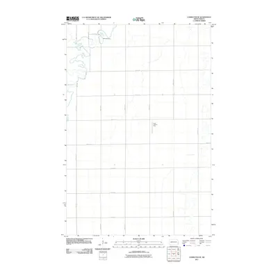
2011 Map of Casselton SE
USGS Topo · Published 2011About this map
The Maple River meanders through the northwest and eastern sections of this North Dakota landscape, defining the local drainage patterns and topography in an area characterized by its grid-based agricultural development. Water management is a central theme of the terrain, highlighted by the Brownlee Dam situated along the river's path. The map reveals a strictly organized network of section-line roads, including 160th Ave SE and 42nd St SE, which facilitate the transportation and farming needs of the region. A notable point of localized utility is the Kraft Landing Strip, a private aviation feature typical of large-scale prairie agriculture. This survey documents the intersection of natural riverine curves with the rigid human-imposed geometry of Cass County at the start of the 2010s.
Find a feature on this map
19 named features on this map. Tap any name to fly to it.
Don’t see what you’re looking for? This feature index may not catch every label — zoom into the map to look around manually.
Map Details
Editions of this 2011 Casselton SE Map
This is the sole edition of this map. No revisions or reprints were ever made.
Other maps of this area

1895 · Fargo
USGS Topo · 1:125,000

1895 · Casselton
USGS Topo · 1:125,000

1897 · Fargo
USGS Topo · 1:125,000

1897 · Casselton
USGS Topo · 1:125,000

1953 · Fargo
USGS Topo · 1:250,000

1956 · Fargo
USGS Topo · 1:250,000

1959 · Kindred
USGS Topo · 1:24,000

1959 · Leonard
USGS Topo · 1:24,000

1959 · South West Fargo
USGS Topo · 1:24,000

1959 · West Fargo
USGS Topo · 1:24,000