1970s Maps of Cavalier County, North Dakota
Explore 30 historic maps of Cavalier County from the 1970s. These maps offer a rare glimpse into what life looked like during the 1970s — showing old roads, neighborhoods, homes, and landmarks that have changed or disappeared over time.
Whether you're researching your family's past, planning a metal detecting trip, or studying how Cavalier County's landscape evolved across the 1970s, these high-resolution maps are a powerful tool for exploring the history of this region.
- Focus on a specific era: All maps on this page are from the 1970s, giving you a focused view of this time period.
- See what’s changed: Compare century-old streets, trails, and buildings to today's modern landscape using overlays and satellite layers.
- Research with precision: Use these maps for genealogy, historical research, land use analysis, or educational projects.
- View, download, or print: Maps are fully viewable online in high resolution, and can be downloaded or printed for your own records.
Start exploring Cavalier County's history through authentic maps from the 1970s. This is your window into the past.
Cavalier County, ND maps
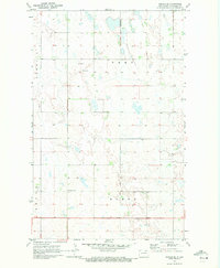
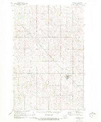
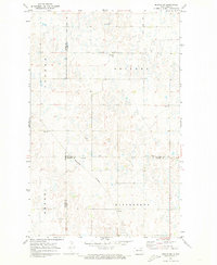
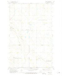
(30)- 1970 Map of Alsen, 1972 Print
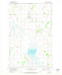
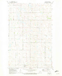 1970 Alsen1972 Print · USGSCavalier County agricultural life in the early seventies centers on the rail-fed hub of Alsen and the surrounding prairie townships. Researchers can trace family roots through the Soo Line rail corridor and sites like Rosehill Cem and Storlie.
 - 1970 Map of Mount Carmel, 1972 Print
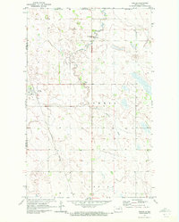
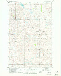
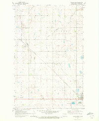
 1970 Mount Carmel1972 Print · USGSCavalier County agricultural lands met the international border in the early seventies, centered on the rural community of Mount Carmel. Researchers can trace local landmarks like the Townhall or industrial sites including a Shale Pit and the Little South Pembina River.
 - 1970 Map of Sarles NE, 1972 Print
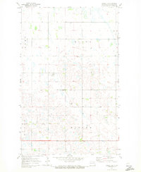
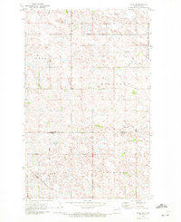
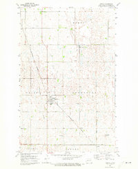
 1970 Sarles NE1972 Print · USGSThe North Dakota borderlands meet the Canadian line in this early 1970s survey of rural Cavalier County. Genealogists and local historians can locate the Byron Cem and trace the agricultural development of Glenila and Byron townships.
 - 1970 Map of Calvin, 1972 Print
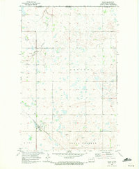
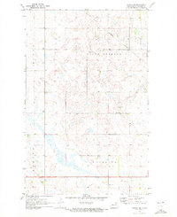
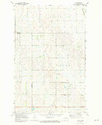
 1970 Calvin1972 Print · USGSCavalier County agricultural life in the early seventies is anchored by the rail connection and small-town centers of the North Dakota prairie. Genealogists and local historians can trace the exact locations of Corinthian Cem, the town of Calvin, and the Burlington Northern line.
 - 1970 Map of Sarles SE, 1972 Print
 1970 Sarles SE1972 Print · USGSCavalier County prairie lands are captured here in the late sixties, showcasing a landscape of glacial wetlands and rural townships. Genealogists and local historians can locate the Evangelical Cem and trace early section roads through Huron and Grey.
 - 1970 Map of Sarles, 1972 Print
 1970 Sarles1972 Print · USGSNear the international boundary in the early 1970s, this area of North Dakota shows a remote agricultural landscape centered on the rail-line town of Sarles. Genealogists and researchers can trace local family landmarks like Woodbridge Cem, the US Customs station, and the Burlington Northern tracks.
 - 1970 Map of Hannah SW, 1972 Print
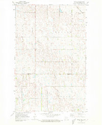
 1970 Hannah SW1972 Print · USGSCavalier County township life in the early seventies is defined by isolated farmsteads and the prairie pothole landscape. Genealogists and local historians can locate Our Saviors Ch, a rural Townhall, and the township boundaries of Moscow and Minto.
 - 1970 Map of Wales, 1972 Print
 1970 Wales1972 Print · USGSUpper Cavalier County near the Canadian border comes into focus in the early seventies, centered on the rail town of Wales. Genealogists and researchers can trace the Burlington Northern line and locate sites across Minto and Dresden townships.
 - 1970 Map of Hannah, 1972 Print
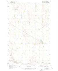
 1970 Hannah1972 Print · USGSThe North Dakota borderlands near the Canadian line are captured here in the early seventies, centered on the village of Hannah. Researchers can trace the path of the Burlington Northern railroad and locate local landmarks like the Hannah Cem and the U S Customs station.
 - 1970 Map of Loma, 1972 Print
 1970 Loma1972 Print · USGSCavalier County agricultural life is captured here in the early seventies, centered on the Soo Line rail corridor. Genealogists and local historians can trace the footprint of Loma, the nearby Storlie siding, and rural landmarks like Bethel Ch.
 - 1970 Map of Alsen SE, 1972 Print
 1970 Alsen SE1972 Print · USGSThe prairie pothole region of Cavalier County comes into focus in the early 1970s, showcasing a landscape of wetlands and isolated townships. Researchers can trace local landmarks like the Loma Cem, the Townhall, and the Burlington Northern rail line.
 - 1970 Map of Hannah SE, 1972 Print
 1970 Hannah SE1972 Print · USGSCavalier County agricultural life is captured here in the early seventies, showing a landscape of strictly gridded townships and rural parishes. Genealogists can locate St John Ch, Bethel Cem, and the Townhall among the fields of Waterloo and Moscow.
 - 1970 Map of Hampden, 1972 Print
 1970 Hampden1972 Print · USGSThe Ramsey and Cavalier county line area in the early 1970s is defined by its prairie wetlands and small-town rail connections. Genealogists and local historians can trace the Burlington Northern route through Hampden and locate the Storlie Cem.2 unique versions available
 - 1970 Map of Langdon West, 1972 Print
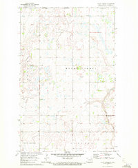
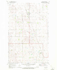
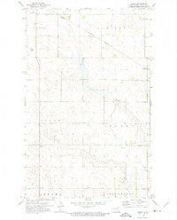
 1970 Langdon West1972 Print · USGSCavalier County agricultural life in the early seventies centers on the rail-to-road connection between Langdon and Dresden. Local researchers can trace family landmarks and transport history via the Burlington Northern line, Redeemer Cem, and the Langdon Municipal Airport.2 unique versions available
 - 1970 Map of Rock Lake SE, 1973 Print
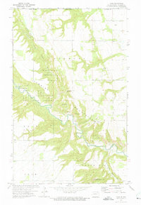
 1970 Rock Lake SE1973 Print · USGSTowner and Cavalier counties appear as a mosaic of prairie potholes and agricultural sections in the early 1970s. Researchers can locate the rural Ellison Cem or trace the township boundaries of Lansing and Teddy across this prairie landscape.
 - 1970 Map of Munich, 1973 Print
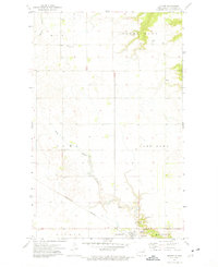
 1970 Munich1973 Print · USGSMunich and the surrounding Cavalier County prairie are captured here in the early 1970s at a peak of rail-driven agriculture. Genealogists and local historians can trace the paths of the Burlington Northern and Soo Line or locate family sites at East Salem Cem and Zion Cem.
 - 1971 Map of Calio, 1973 Print
 1971 Calio1973 Print · USGSThe prairie landscape around Calio is documented here during the early 1970s, showing the intersection of rail lines and county borders. Genealogists and researchers can trace township divisions like Trier and Victor or locate the St Boniface Cem.
 - 1971 Map of Munich SW, 1973 Print
 1971 Munich SW1973 Print · USGSCavalier County and its neighbors are mapped here in the early seventies as a landscape of structured townships and rail-side settlements. Researchers can trace rural life through landmarks like Calio, Salem Cem, and the community Townhall.
 - 1971 Map of Munich SE, 1973 Print
 1971 Munich SE1973 Print · USGSThe North Dakota prairie at the start of the 1970s reveals a structured landscape of grain farming and township life. Researchers can trace the Cavalier Co Ramsey Co border and locate local civic hubs like the Townhall and Starkweather Coulee.
 - 1972 Map of Osnabrock, 1974 Print
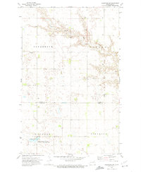
 1972 Osnabrock1974 Print · USGSThe northern plains of Cavalier County are captured here in the early seventies, centered on the rail-side community of Osnabrock. Genealogists and historians can trace the local landscape through features like Union Cem, the Burlington Northern railroad line, and the Shale Pit.
 - 1972 Map of Vang, 1975 Print
 1972 Vang1975 Print · USGSCavalier County territory along the Canadian border is mapped here during the early seventies. Genealogists and historians can trace the rural communities of Vang and Boden or locate family-named landmarks like Point Kneeshaw and Norman Otto Hill.
 - 1972 Map of Nekoma, 1975 Print
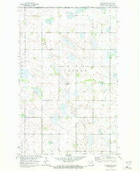
 1972 Nekoma1975 Print · USGSThe agricultural plains of Cavalier, Ramsey, and Walsh counties are captured here in the early seventies, centered on the settlement of Nekoma. Researchers can trace local heritage through sites like St Edwards Cem, Highland Ch, and the wetland boundaries of Fairdale Slough.
 - 1972 Map of Easby, 1975 Print
 1972 Easby1975 Print · USGSCavalier County agricultural life in the early seventies centers on the rail lines and small prairie townships. Genealogists and historians can trace property lines and local landmarks like the Cem or the Burlington Northern route through Easby.
 - 1972 Map of Milton, 1975 Print
 1972 Milton1975 Print · USGSCavalier County's agricultural heartland is documented here during the early seventies, centered on the village of Milton and its rail connections. Genealogists and local historians can trace family locations near North Dovre Ch, Dovre Cem, and Fjalla Ch.
 - 1972 Map of Osnabrock SW, 1975 Print
 1972 Osnabrock SW1975 Print · USGSOsnabrock and Osford townships in northeastern North Dakota appear in the early seventies, a landscape defined by prairie wetlands and small farming communities. Genealogists can trace family footprints at Highland Cem, Soper Ch, and the conserved Fairdale Slough.
Showing maps 1-25 of 30
Top cities of Cavalier County
- Langdon historical maps
- Munich historical maps
- Osnabrock historical maps
- Milton historical maps
- Mount Carmel historical maps
- Alsen historical maps
See more
Frequently asked questions
- What are the different types of historical maps available for Cavalier County?
- What is the oldest map of Cavalier County?
- Where can I purchase historical maps of Cavalier County for my home or office?
- Where can I download high-res historical maps of Cavalier County?
- Are there historical topographic maps available for Cavalier County?
- Is there historical aerial imagery available for Cavalier County?
- Where are historical maps of Cavalier County sourced from?