Old Maps of Sarles, North Dakota for Metal Detecting
Plan your next treasure hunt with 16 historic maps of Sarles. Find old homesites, ghost towns, trails, and gathering spots that may be lost to time — perfect for identifying promising metal detecting locations.
- Locate forgotten sites: Uncover places like long-lost settlements, abandoned rail lines, or gathering spots.
- Plan better hunts: Use map overlays combined with LiDAR or satellite views to narrow in on historically rich areas.
- Made for detectorists: Thousands of hobbyists use these maps to discover relics, coins, and hidden history.
Use these historic maps to boost your research and find new opportunities beneath the surface of Sarles.
Sarles, ND maps
(16)- 1953 Map of Devils Lake, 1968 Print
 1953 Devils Lake1968 Print · USGSNorth Dakota's northern plains are captured here in the mid-fifties, showing a landscape of rail-fed grain elevators and prairie wetlands. Genealogists can locate family landmarks like Rose Hill School, Hurricane Lake Church, and the Turtle Mountain Indian Reservation.3 unique versions available
 - 1956 Map of Devils Lake
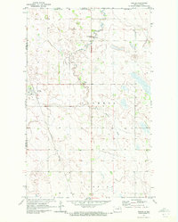
 1956 Devils Lake1956 Print · USGSNorthern North Dakota is shown at a mid-century peak of rail-driven agriculture, where the Soo Line and Great Northern railroads cross the prairie. Trace the borders of the Turtle Mountain Indian Reservation and locate local landmarks like Rose Hill School or Camp Grafton.
 - 1969 Map of Rock Lake NE, 1972 Print
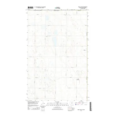
 1969 Rock Lake NE1972 Print · USGSThe international border between North Dakota and Manitoba takes center stage in this late 1960s survey of the high plains. Researchers can trace the layout of Sarles on the county line or locate local landmarks like Dash Cem and the township of Loansing.
 - 1970 Map of Sarles, 1972 Print
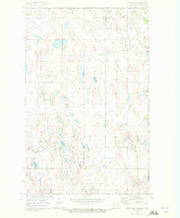
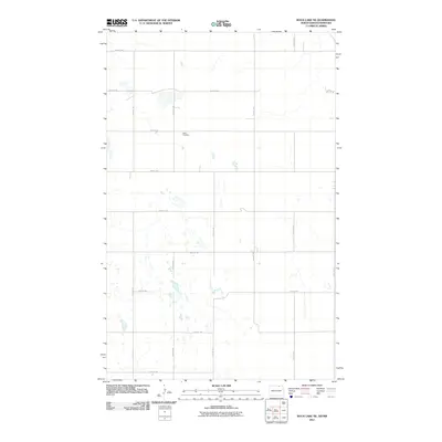
 1970 Sarles1972 Print · USGSNear the international boundary in the early 1970s, this area of North Dakota shows a remote agricultural landscape centered on the rail-line town of Sarles. Genealogists and researchers can trace local family landmarks like Woodbridge Cem, the US Customs station, and the Burlington Northern tracks.
 - 1985 Map of Langdon
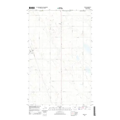
 1985 Langdon1985 Print · USGSCavalier County and the surrounding prairie are captured here in the mid-1980s as the rail-and-agriculture economy shaped the landscape. Researchers can trace rural lineages through dozens of small settlements like Munich, Nekoma, and Osnabrock, or follow the lines of the Burlington Northern and Soo Line railroads.2 unique versions available
 - 1985 Map of Rock Lake, 1986 Print
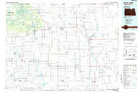 1985 Rock Lake1986 Print · USGSThe North Dakota borderlands and the forested heights of the Turtle Mountains are documented here in the mid-eighties. Genealogists and historians can trace the rail lines of the Soo Line through prairie towns like Bisbee, Rolette, and Rolla.2 unique versions available
 - 2011 Map of Rock Lake NE, 2011 Print
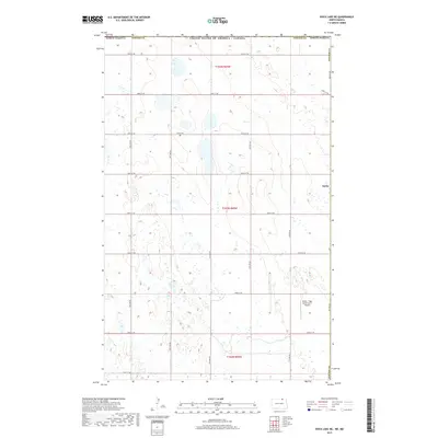
 2011 Rock Lake NE2011 Print · USGSCovers Sarles, including Cavalier County, Cartwright – Roblin Municipality, and other nearby areas
 - 2011 Map of Sarles, 2011 Print
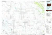
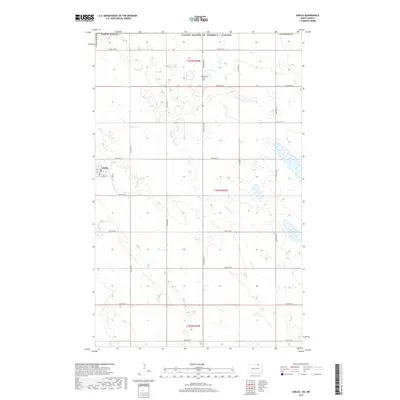
 2011 Sarles2011 Print · USGSCovers Sarles, including Cavalier County, Municipality of Louise, and other nearby areas
 - 2014 Map of Rock Lake NE, 2014 Print
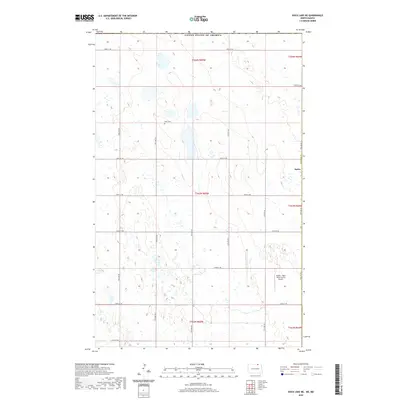
 2014 Rock Lake NE2014 Print · USGSCovers Sarles, including Cavalier County, Cartwright – Roblin Municipality, and other nearby areas
 - 2014 Map of Sarles, 2014 Print
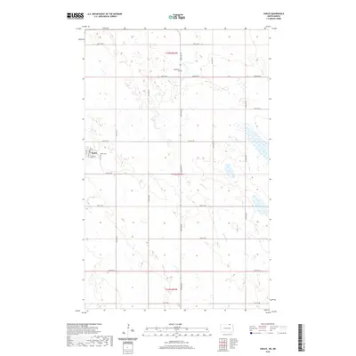
 2014 Sarles2014 Print · USGSCovers Sarles, including Cavalier County, Municipality of Louise, and other nearby areas
 - 2017 Map of Sarles, 2017 Print
 2017 Sarles2017 Print · USGSCovers Sarles, including Cavalier County, Municipality of Louise, and other nearby areas
 - 2017 Map of Rock Lake NE, 2017 Print
 2017 Rock Lake NE2017 Print · USGSCovers Sarles, including Cavalier County, Cartwright – Roblin Municipality, and other nearby areas
 - 2020 Map of Rock Lake NE, 2020 Print
 2020 Rock Lake NE2020 Print · USGSCovers Sarles, including Cavalier County, Cartwright – Roblin Municipality, and other nearby areas
 - 2020 Map of Sarles, 2020 Print
 2020 Sarles2020 Print · USGSCovers Sarles, including Cavalier County, Municipality of Louise, and other nearby areas
 - 2024 Map of Rock Lake NE, 2024 Print
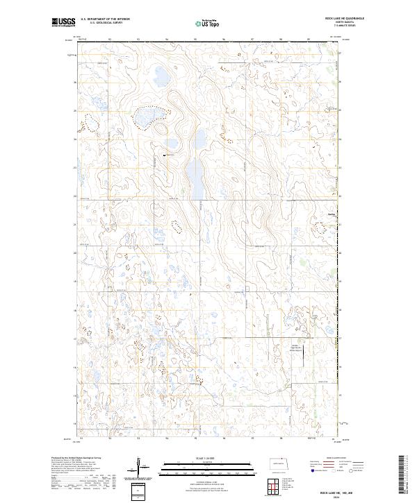 2024 Rock Lake NE2024 Print · USGSTowner County's prairie wetlands and the small community of Sarles are captured here in the contemporary era. Genealogists and local historians can locate Dash Cem and trace the boundaries of the Towner County Waterfowl Production Area.
 - 2024 Map of Sarles, 2024 Print
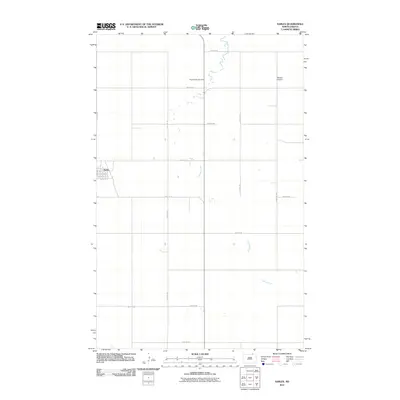
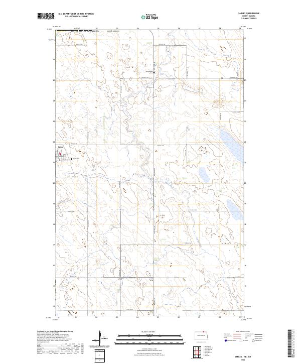 2024 Sarles2024 Print · USGSSarles and the surrounding prairie of northern Cavalier County are captured here at the international border in the early twenty-first century. Researchers can locate family sites near Sarles Cem or Woodbridge Cem and trace the drainage of Cypress Creek.
End of results
Showing maps 1-16 of 16
Top cities near Sarles
Frequently asked questions
- What are the different types of historical maps available for Sarles?
- What is the oldest map of Sarles?
- Where can I purchase historical maps of Sarles for my home or office?
- Where can I download high-res historical maps of Sarles?
- Are there historical topographic maps available for Sarles?
- Is there historical aerial imagery available for Sarles?
- Where are historical maps of Sarles sourced from?