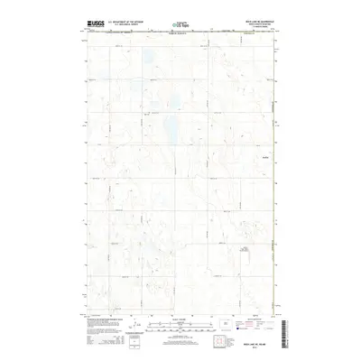
2014 Map of Rock Lake NE
USGS Topo · Published 2014About this map
The borderlands of the northern Great Plains are defined by a meticulous grid of rural roads and scattered water bodies just south of the international boundary between the United States of America and Canada. In this quiet corner of Cavalier County, the small settlement of Sarles sits along the eastern edge, serving as a primary point of reference in a landscape of small prairie potholes and low-relief terrain. Local history and genealogy are anchored by Dash Cem, located near 107th St NE, while the modern agricultural character of the region is highlighted by the Amble - Tiger North Farms Airport. The map also captures the political boundary with Towner Co to the west, illustrating how the vast township-and-range system organizes the farms and infrastructure of North Dakota.
Find a feature on this map
21 named features on this map. Tap any name to fly to it.
Don’t see what you’re looking for? This feature index may not catch every label — zoom into the map to look around manually.
Map Details
Editions of this 2014 Rock Lake NE Map
This is the sole edition of this map. No revisions or reprints were ever made.
Other maps of this area

1953 · Devils Lake
USGS Topo · 1:250,000

1956 · Devils Lake
USGS Topo · 1:250,000

1969 · Rock Lake NE
USGS Topo · 1:24,000
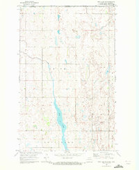
1969 · Rock Lake NW
USGS Topo · 1:24,000

1970 · Calvin
USGS Topo · 1:24,000

1970 · Sarles
USGS Topo · 1:24,000

1970 · Rock Lake
USGS Topo · 1:24,000

1970 · Rock Lake SE
USGS Topo · 1:24,000

1985 · Langdon
USGS Topo · 1:100,000

1985 · Rock Lake
USGS Topo · 1:100,000