
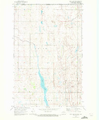
1970 Map of Rock Lake SE
USGS Topo · Published 1973About this map
Glacial depressions and prairie potholes dominate the landscape of the Lansing and Teddy townships during the early 1970s. This agricultural region on the border of Towner and Cavalier counties is characterized by an intricate network of wetlands and small water bodies that dictate the placement of section-line roads and farmsteads. The quiet rural character is anchored by local landmarks such as Ellison Cem, located near the intersection of several sections in the southern half of the quadrangle. Industrial activity in this sparsely populated area is represented by a Gravel Pit in the north, while various benchmarks like BM 1567 provide precise elevation data for the gently undulating terrain of the North Dakota plains.
Find a feature on this map
8 named features on this map. Tap any name to fly to it.
Don’t see what you’re looking for? This feature index may not catch every label — zoom into the map to look around manually.
Map Details
Editions of this 1970 Rock Lake SE Map
This is the sole edition of this map. No revisions or reprints were ever made.
Other maps of this area

1953 · Devils Lake
USGS Topo · 1:250,000

1956 · Devils Lake
USGS Topo · 1:250,000

1962 · Egeland
USGS Topo · 1:24,000

1962 · Snyder Lake
USGS Topo · 1:24,000

1969 · Rock Lake NE
USGS Topo · 1:24,000
1969 · Rock Lake NW
USGS Topo · 1:24,000

1970 · Calvin
USGS Topo · 1:24,000

1970 · Sarles
USGS Topo · 1:24,000

1970 · Rock Lake
USGS Topo · 1:24,000

1971 · Calio
USGS Topo · 1:24,000