
1970 Map of Sarles
USGS Topo · Published 1972About this map
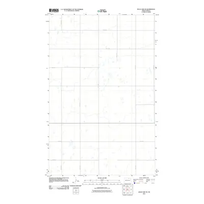
The international border between the Canada United States defines the northern edge of this North Dakota landscape, where the town of Sarles serves as a small but vital hub for the surrounding agricultural prairie. At the time of this 1970 field check, the Burlington Northern railroad provided the primary logistical link for the region, cutting a diagonal path past the local Landing Strip. Along the banks of Cypress Creek, the terrain transitions into the distinct areas of Cypress and Glenila, marked by a scattering of small water bodies and drainage patterns characteristic of the northern plains. Historical landmarks such as the Woodbridge Cem and the US Customs post at the border crossing reflect the local community's social and administrative foundations, while scattered Gravel Pits indicate the local industrial extraction necessary for road maintenance and regional development.
Find a feature on this map
15 named features on this map. Tap any name to fly to it.
Don’t see what you’re looking for? This feature index may not catch every label — zoom into the map to look around manually.
Map Details
Editions of this 1970 Sarles Map
This is the sole edition of this map. No revisions or reprints were ever made.
Other maps of this area

1953 · Devils Lake
USGS Topo · 1:250,000

1956 · Devils Lake
USGS Topo · 1:250,000

1969 · Rock Lake NE
USGS Topo · 1:24,000

1970 · Sarles NE
USGS Topo · 1:24,000

1970 · Calvin
USGS Topo · 1:24,000

1970 · Sarles SE
USGS Topo · 1:24,000

1970 · Rock Lake SE
USGS Topo · 1:24,000

1985 · Langdon
USGS Topo · 1:100,000

1985 · Rock Lake
USGS Topo · 1:100,000
2011 · Rock Lake SE
USGS Topo · 1:24,000