
1969 Map of Rock Lake NE
USGS Topo · Published 1972About this map
North Dakota and Manitoba meet along the northern boundary of this prairie landscape, where the survey captures the borderland townships of Dash and Loansing. The topography is defined by the glacial pothole region, characterized by numerous small depressions and wetlands scattered across the terrain. Settlement is concentrated at Sarles, which sits at the junction of Towner and Cavalier counties. This 1960s field check documents the rural infrastructure of the era, including the Dash Cem and a local Gravel Pit. The map provides a precise view of the international border line as it stood before modern agricultural intensification further altered the natural drainage patterns of this high plains region.
Find a feature on this map
8 named features on this map. Tap any name to fly to it.
Don’t see what you’re looking for? This feature index may not catch every label — zoom into the map to look around manually.
Map Details
Editions of this 1969 Rock Lake NE Map
This is the sole edition of this map. No revisions or reprints were ever made.
Other maps of this area

1953 · Devils Lake
USGS Topo · 1:250,000

1956 · Devils Lake
USGS Topo · 1:250,000
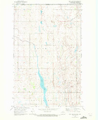
1969 · Rock Lake NW
USGS Topo · 1:24,000

1970 · Calvin
USGS Topo · 1:24,000

1970 · Sarles
USGS Topo · 1:24,000

1970 · Rock Lake
USGS Topo · 1:24,000

1970 · Rock Lake SE
USGS Topo · 1:24,000

1985 · Langdon
USGS Topo · 1:100,000

1985 · Rock Lake
USGS Topo · 1:100,000
2011 · Rock Lake SE
USGS Topo · 1:24,000