2000s (21st Century) Maps of Sarles, North Dakota
Explore 10 historic maps of Sarles from the 2000s (21st Century). These maps offer a rare glimpse into what life looked like during the 2000s — showing old roads, neighborhoods, homes, and landmarks that have changed or disappeared over time.
Whether you're researching your family's past, planning a metal detecting trip, or studying how Sarles's landscape evolved across the 2000s, these high-resolution maps are a powerful tool for exploring the history of this region.
- Focus on a specific era: All maps on this page are from the 2000s, giving you a focused view of this time period.
- See what’s changed: Compare century-old streets, trails, and buildings to today's modern landscape using overlays and satellite layers.
- Research with precision: Use these maps for genealogy, historical research, land use analysis, or educational projects.
- View, download, or print: Maps are fully viewable online in high resolution, and can be downloaded or printed for your own records.
Start exploring Sarles's history through authentic maps from the 2000s. This is your window into the past.
Sarles, ND maps
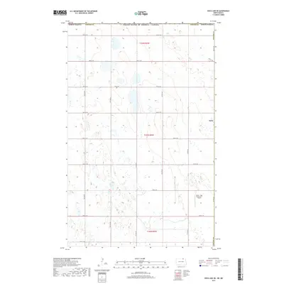
(10)- 2011 Map of Rock Lake NE, 2011 Print
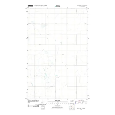 2011 Rock Lake NE2011 Print · USGSCovers Sarles, including Cavalier County, Cartwright – Roblin Municipality, and other nearby areas
 - 2011 Map of Sarles, 2011 Print
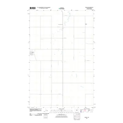 2011 Sarles2011 Print · USGSCovers Sarles, including Cavalier County, Municipality of Louise, and other nearby areas
 - 2014 Map of Rock Lake NE, 2014 Print
 2014 Rock Lake NE2014 Print · USGSCovers Sarles, including Cavalier County, Cartwright – Roblin Municipality, and other nearby areas
 - 2014 Map of Sarles, 2014 Print
 2014 Sarles2014 Print · USGSCovers Sarles, including Cavalier County, Municipality of Louise, and other nearby areas
 - 2017 Map of Sarles, 2017 Print
 2017 Sarles2017 Print · USGSCovers Sarles, including Cavalier County, Municipality of Louise, and other nearby areas
 - 2017 Map of Rock Lake NE, 2017 Print
 2017 Rock Lake NE2017 Print · USGSCovers Sarles, including Cavalier County, Cartwright – Roblin Municipality, and other nearby areas
 - 2020 Map of Rock Lake NE, 2020 Print
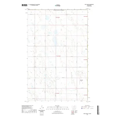 2020 Rock Lake NE2020 Print · USGSCovers Sarles, including Cavalier County, Cartwright – Roblin Municipality, and other nearby areas
 - 2020 Map of Sarles, 2020 Print
 2020 Sarles2020 Print · USGSCovers Sarles, including Cavalier County, Municipality of Louise, and other nearby areas
 - 2024 Map of Rock Lake NE, 2024 Print
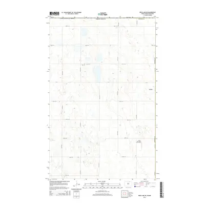
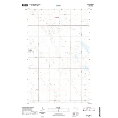
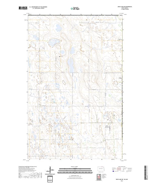 2024 Rock Lake NE2024 Print · USGSTowner County's prairie wetlands and the small community of Sarles are captured here in the contemporary era. Genealogists and local historians can locate Dash Cem and trace the boundaries of the Towner County Waterfowl Production Area.
 - 2024 Map of Sarles, 2024 Print
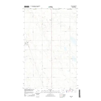
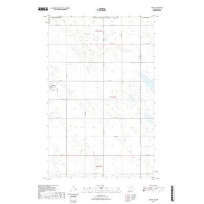
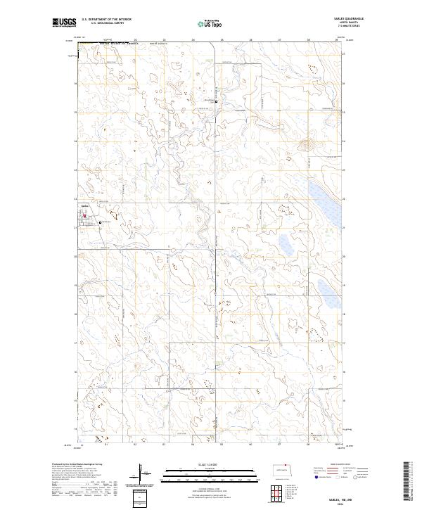 2024 Sarles2024 Print · USGSSarles and the surrounding prairie of northern Cavalier County are captured here at the international border in the early twenty-first century. Researchers can locate family sites near Sarles Cem or Woodbridge Cem and trace the drainage of Cypress Creek.
End of results
Showing maps 1-10 of 10
Top cities near Sarles
Frequently asked questions
- What are the different types of historical maps available for Sarles?
- What is the oldest map of Sarles?
- Where can I purchase historical maps of Sarles for my home or office?
- Where can I download high-res historical maps of Sarles?
- Are there historical topographic maps available for Sarles?
- Is there historical aerial imagery available for Sarles?
- Where are historical maps of Sarles sourced from?