2020s Maps of Clement Township, North Dakota
Explore 12 historic maps of Clement Township from the 2020s. These maps offer a rare glimpse into what life looked like during the 2020s — showing old roads, neighborhoods, homes, and landmarks that have changed or disappeared over time.
Whether you're researching your family's past, planning a metal detecting trip, or studying how Clement Township's landscape evolved across the 2020s, these high-resolution maps are a powerful tool for exploring the history of this region.
- Focus on a specific era: All maps on this page are from the 2020s, giving you a focused view of this time period.
- See what’s changed: Compare century-old streets, trails, and buildings to today's modern landscape using overlays and satellite layers.
- Research with precision: Use these maps for genealogy, historical research, land use analysis, or educational projects.
- View, download, or print: Maps are fully viewable online in high resolution, and can be downloaded or printed for your own records.
Start exploring Clement Township's history through authentic maps from the 2020s. This is your window into the past.
Clement Township, ND maps
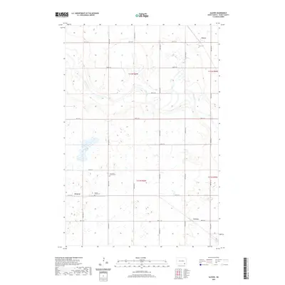
(12)- 2020 Map of Oakes SE, 2020 Print
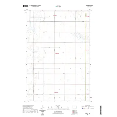 2020 Oakes SE2020 Print · USGSCovers Clement Township, including Ludden, Riverdale Township, and other nearby areas
 - 2020 Map of Guelph, 2020 Print
 2020 Guelph2020 Print · USGSCovers Clement Township, including Ludden, Riverdale Township, and other nearby areas
 - 2020 Map of Fullerton SE, 2020 Print
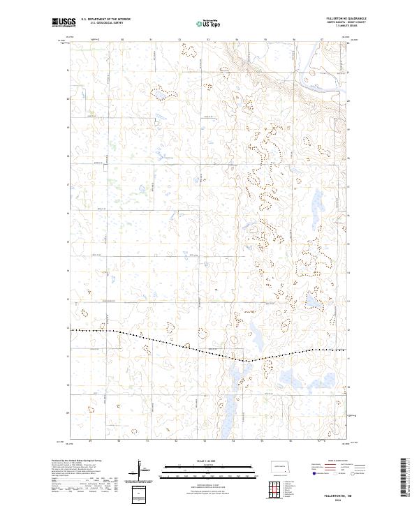
 2020 Fullerton SE2020 Print · USGSCovers Clement Township, including Yorktown Township, Port Emma Township, and other nearby areas
 - 2020 Map of Oakes, 2020 Print
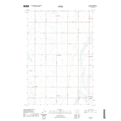
 2020 Oakes2020 Print · USGSCovers Clement Township, including Oakes, Bear Creek Township, and other nearby areas
 - 2020 Map of Fullerton NE, 2020 Print
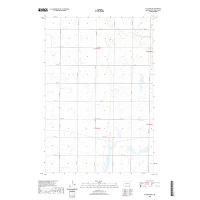 2020 Fullerton NE2020 Print · USGSCovers Clement Township, including Yorktown Township, Wright Township, and other nearby areas
 - 2020 Map of Glover, 2020 Print
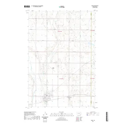
 2020 Glover2020 Print · USGSCovers Clement Township, including Glover, Norway, and other nearby areas
 - 2024 Map of Glover, 2024 Print
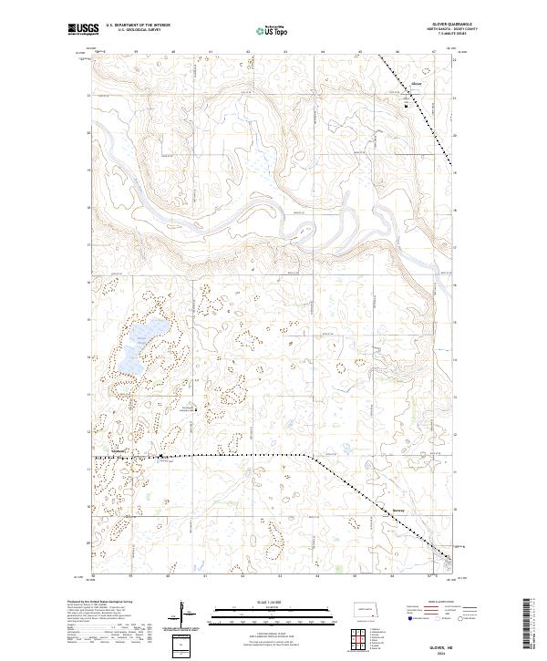 2024 Glover2024 Print · USGSSoutheast North Dakota's agricultural heartland is documented here, showing the scattered prairie settlements and river valleys of Dickey County. Genealogists can locate Norway Pioneer Cem, Glover Cem, and the small community of Clement.
 - 2024 Map of Oakes SE, 2024 Print
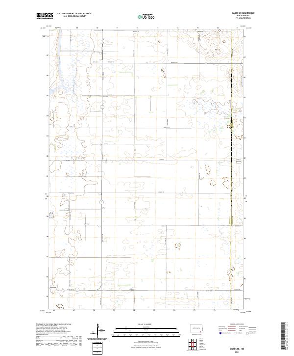 2024 Oakes SE2024 Print · USGSThe small community of Ludden is documented here in the early 2020s amidst the classic section-line grid of the North Dakota prairie. Local historians can trace the boundary of Dickey Co and the path of the James River through a landscape of pothole wetlands.
 - 2024 Map of Fullerton SE, 2024 Print
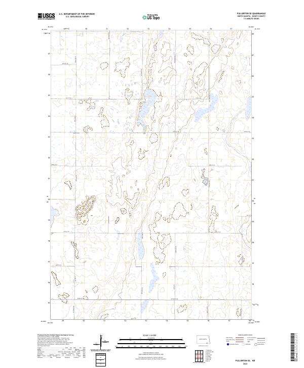 2024 Fullerton SE2024 Print · USGSDickey County is shown in recent detail, where the prairie pothole landscape is defined by extensive conservation lands. Researchers can trace the modern road grid including Co Rd 10 and 97th St SE as they navigate the Dickey County Waterfowl Production Area.
 - 2024 Map of Oakes, 2024 Print
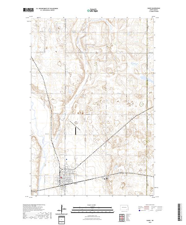 2024 Oakes2024 Print · USGSThe community of Oakes is captured here in the 2020s, showing the town's position between the James River and Bear Creek. Genealogists can locate Saint Charles Cem and Oakes View Cem while tracing family-named streets in the town center.
 - 2024 Map of Guelph, 2024 Print
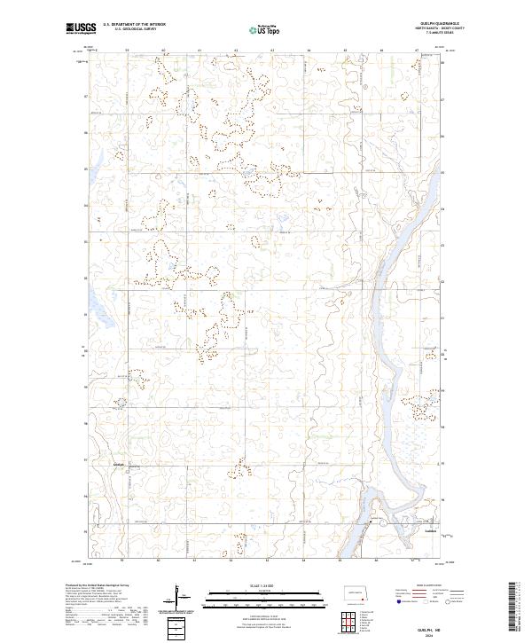 2024 Guelph2024 Print · USGSDickey County is shown in recent detail as a landscape of prairie wetlands and section-line roads. You can trace the James River through the Dakota Lake National Wildlife Refuge and locate family roots at Ludden Cem and Guelph.
 - 2024 Map of Fullerton NE, 2024 Print
 2024 Fullerton NE2024 Print · USGSThe James River valley and the prairie pothole region of Dickey County are captured here in the mid-2020s. Researchers can trace the extensive wetlands of the Dickey County Waterfowl Production Area and the rural road network including Baldwin Rd and Horseshoe Dr.
End of results
Showing maps 1-12 of 12
Top cities near Clement Township
Top neighborhoods of Clement Township
Frequently asked questions
- What are the different types of historical maps available for Clement Township?
- What is the oldest map of Clement Township?
- Where can I purchase historical maps of Clement Township for my home or office?
- Where can I download high-res historical maps of Clement Township?
- Are there historical topographic maps available for Clement Township?
- Is there historical aerial imagery available for Clement Township?
- Where are historical maps of Clement Township sourced from?