Old Maps of Ellendale Township, North Dakota for Hiking & Exploration
Hike through history with 35 historic maps of Ellendale Township. Explore old trails, ghost towns, and forgotten backroads — perfect for outdoor adventurers and local explorers.
- Rediscover forgotten places: Map out old mining camps, roads, and footpaths that no longer exist on modern maps.
- Layer with modern tools: Combine with LiDAR or satellite views to plan hikes through historical terrain.
- Made for exploration: Popular among hikers, overlanders, and local history lovers.
Use these maps to find adventure and explore the hidden past of Ellendale Township.
Ellendale Township, ND maps
(35)- 1894 Map of Monango
 1894 Monango1894 Print · USGSSouthern North Dakota was a landscape of pioneering railroads and new township boundaries in the early 1890s. Genealogists and historians can trace the early rail junctions at Monango or locate landholdings within the districts of Whitestone and Keystone.
 - 1894 Map of Ellendale
 1894 Ellendale1894 Print · USGSDakota Territory transitions into new states in the late nineteenth century as the rail-and-river economy takes root. Genealogists can trace early township structures across Wheatland and Osceola, or locate residents near Frederick along the Chicago Milwaukee and St. Paul Railway.
 - 1896 Map of Edgeley
 1896 Edgeley1896 Print · USGSDakota Territory had only recently achieved statehood when these rail lines began carving through the prairie. Genealogists can trace the early foundations of Edgeley, Kulm, and Ellendale alongside rural townships like Whitestone and Glenmore.2 unique versions available
 - 1899 Map of Ellendale
 1899 Ellendale1899 Print · USGSNorth Dakota and South Dakota borderlands come into focus at the close of the nineteenth century as the railroad transforms the prairie. Genealogists and historians can trace the early growth of Ellendale and Leola along with vanished stops like Alpha and Delhi.2 unique versions available
 - 1925 Map of Edgeley
 1925 Edgeley1925 Print · USGSLaMoure and Dickey Counties are shown in the mid-1920s as a complex network of rail lines and prairie townships. Trace the early layout of Ellendale, the historical Whitestone Battlefield Park, and rail stops at Deisem and Medberry.2 unique versions available
 - 1953 Map of Jamestown
 1953 Jamestown1953 Print · USGSSoutheastern North Dakota was a thriving rail and agricultural corridor in the early fifties, anchored by the James River. Researchers can trace the footprints of institutional landmarks like the North Dakota State Hospital and historic sites such as Whitestone Hill Battlefield Park.3 unique versions available
 - 1953 Map of Ellendale South, 1955 Print
 1953 Ellendale South1955 Print · USGSThe borderlands of North and South Dakota are captured here in the early fifties, centering on the rail hub of Ellendale. Genealogists and historians can locate rural schoolhouses like Gustafson Sch and Senn Sch along with the path of the Great Northern railroad.3 unique versions available
 - 1954 Map of Aberdeen, 1964 Print
 1954 Aberdeen1964 Print · USGSNortheastern South Dakota in the mid-fifties remains a world of rail-dependent prairie towns and sweeping waterfowl refuges. Genealogists can trace family roots through settlements like Eureka and Ipswich or locate rural landmarks near Richmond Lake.2 unique versions available
 - 1956 Map of Aberdeen
 1956 Aberdeen1956 Print · USGSUpper South Dakota during the mid-fifties remains a landscape of rail-connected farming towns and expansive glacial lake basins. Genealogists and historians can trace the paths of the Minneapolis and St Louis railroad through Gettysburg or locate vanished stops near Elm Lake and Richmond Lake.
 - 1956 Map of Jamestown
 1956 Jamestown1956 Print · USGSThe James River valley and the vast alkali lake country of south-central North Dakota are captured here in the mid-fifties. Genealogists can trace family farms across several counties, locating small rail stops like Medberry and monuments like Whitestone Hill Battlefield Park.
 - 1956 Map of Ellendale North, 1957 Print
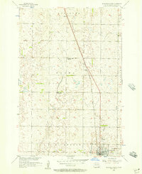 1956 Ellendale North1957 Print · USGSNorth Dakota's southern prairie comes into focus during the mid-fifties, showing a landscape of townships and transition. Genealogists and historians can trace the paths of the Chicago Milwaukee St Paul and Pacific through Duane or locate rural schools like Farming Valley Sch No 2.
 - 1968 Map of Frederick NW, 1970 Print
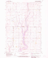 1968 Frederick NW1970 Print · USGSThe borderlands of the Dakotas are captured in the late sixties as the prairie landscape centers on the waters of Elm Lake. Researchers can locate rural landmarks like the Aurdal Ch, the Great Northern rail line, and local Townhall sites.
 - 1982 Map of Monango SW, 1983 Print
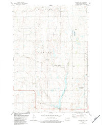 1982 Monango SW1983 Print · USGSThe Dickey County prairie comes into focus in the early eighties, showcasing a landscape of section-line roads and conservation wetlands. Researchers can locate the local Townhall, trace family roots at the Cem, or find the shoreline of Pheasant Lake.
 - 1985 Map of Elm River
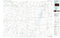 1985 Elm River1985 Print · USGSSpanning the state line during the mid-eighties, this area shows a landscape of river-fed reservoirs and agricultural colonies. Genealogists and historians can locate communal settlements like Spring Creek Colony and rail stops along the Burlington Northern Railroad or the Chicago and North Western Railroad.2 unique versions available
 - 1986 Map of La Moure
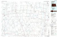 1986 La Moure1986 Print · USGSMid-century settlement patterns and water management define this stretch of the North Dakota prairie during the 1980s. Researchers can trace historic rail lines like the Soo Line or locate sites such as Whitestone Battlefield State Park and Ellendale.2 unique versions available
 - 2011 Map of Frederick NW, 2011 Print
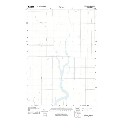 2011 Frederick NW2011 Print · USGSThe North Dakota and South Dakota border comes alive in this modern survey of the James River Valley prairie. Researchers can trace the winding course of the Elm River as it opens into Elm Lake and follow the seasonal drainage of Webber Gulch.
 - 2011 Map of Ellendale South, 2011 Print
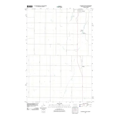 2011 Ellendale South2011 Print · USGSThe borderlands of North and South Dakota come into focus in the early 2000s, showing the agricultural landscape surrounding Ellendale. Genealogists and local historians can trace the grid of section roads to landmarks like Winship or the Ellendale Water Supply Dam.
 - 2011 Map of Monango SW, 2011 Print
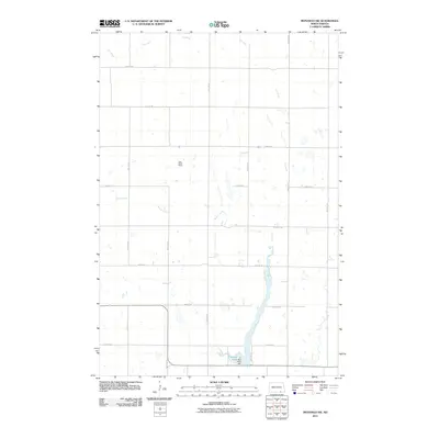 2011 Monango SW2011 Print · USGSHamburg Township is captured in the early twenty-first century, showing a landscape defined by the prairie grid and the waters of the Elm River. Local historians can trace agricultural patterns around the Lazy Dollar Ranch and the southern reaches of Bristol Gulch.
 - 2011 Map of Ellendale North, 2011 Print
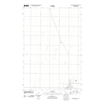 2011 Ellendale North2011 Print · USGSThe northern reaches of Ellendale and the surrounding prairie are captured here during the early twenty-first century. Genealogists and local historians can trace the town's expansion toward Ellendale Municipal Airport and locate the nearby site of Duane.
 - 2012 Map of Frederick NW, 2012 Print
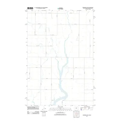 2012 Frederick NW2012 Print · USGSElm Township and the surrounding plains are captured in this 2012 survey of the North Dakota-South Dakota border. Researchers can trace the hydrologic relationship between Elm River and Elm Lake or locate ancestral farmsteads along Webber Gulch.
 - 2014 Map of Ellendale North, 2014 Print
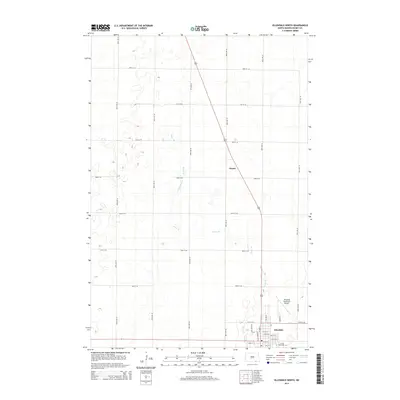 2014 Ellendale North2014 Print · USGSEllendale and its northern prairie surroundings are captured here in the early 2010s. Trace the grounds of Trinity Bible Coll, the small siding at Duane, and the drainage patterns of Sewer Branch across the Dickey County landscape.
 - 2014 Map of Monango SW, 2014 Print
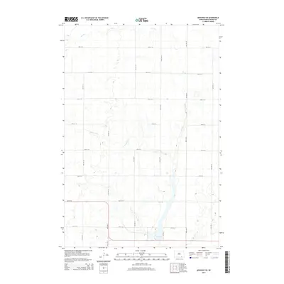 2014 Monango SW2014 Print · USGSThe rural prairie of Dickey County is mapped here in the early twenty-first century as agricultural life centers on the local waterways. You can trace the path of the Elm River and locate seasonal landmarks like Bristol Gulch or the shoreline of Pheasant Lake.
 - 2014 Map of Ellendale South, 2014 Print
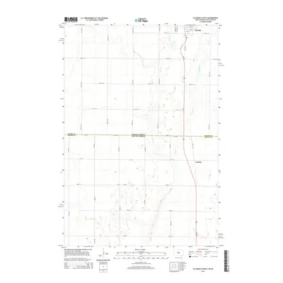 2014 Ellendale South2014 Print · USGSThe border between North Dakota and South Dakota comes into focus during the early 2010s, centered on the southern outskirts of Ellendale. Genealogists and local historians can trace the rural landscape between Winship and the state line along the US-281 corridor and Dry Br.
 - 2015 Map of Frederick NW, 2015 Print
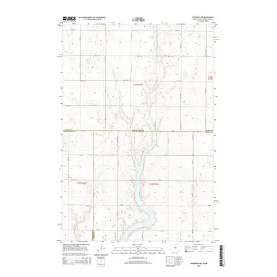 2015 Frederick NW2015 Print · USGSThe North Dakota and South Dakota borderlands are captured here in the mid-2010s, centered on the wetlands of the Elm River valley. Researchers can trace the drainage patterns of Webber Gulch or locate family properties along 100th St SE and W Elm Lake Dr.
 - 2017 Map of Monango SW, 2017 Print
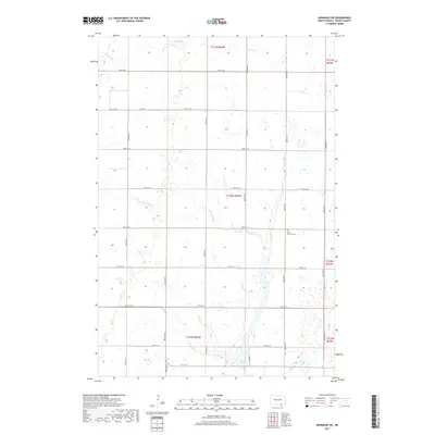 2017 Monango SW2017 Print · USGSNorth Dakota's southeastern prairie is documented here during the mid-2010s, showcasing a landscape of section roads and river bends. Family historians and researchers can locate the Christ Lutheran Cem or trace the waters of Elm River and Pheasant Lake.
Showing maps 1-25 of 35
Top cities near Ellendale Township
- Ellendale historical maps
- Frederick historical maps
- Fullerton historical maps
- Forbes historical maps
- Monango historical maps
Frequently asked questions
- What are the different types of historical maps available for Ellendale Township?
- What is the oldest map of Ellendale Township?
- Where can I purchase historical maps of Ellendale Township for my home or office?
- Where can I download high-res historical maps of Ellendale Township?
- Are there historical topographic maps available for Ellendale Township?
- Is there historical aerial imagery available for Ellendale Township?
- Where are historical maps of Ellendale Township sourced from?