2020s Maps of Elm Township, North Dakota
Explore 7 historic maps of Elm Township from the 2020s. These maps offer a rare glimpse into what life looked like during the 2020s — showing old roads, neighborhoods, homes, and landmarks that have changed or disappeared over time.
Whether you're researching your family's past, planning a metal detecting trip, or studying how Elm Township's landscape evolved across the 2020s, these high-resolution maps are a powerful tool for exploring the history of this region.
- Focus on a specific era: All maps on this page are from the 2020s, giving you a focused view of this time period.
- See what’s changed: Compare century-old streets, trails, and buildings to today's modern landscape using overlays and satellite layers.
- Research with precision: Use these maps for genealogy, historical research, land use analysis, or educational projects.
- View, download, or print: Maps are fully viewable online in high resolution, and can be downloaded or printed for your own records.
Start exploring Elm Township's history through authentic maps from the 2020s. This is your window into the past.
Elm Township, ND maps
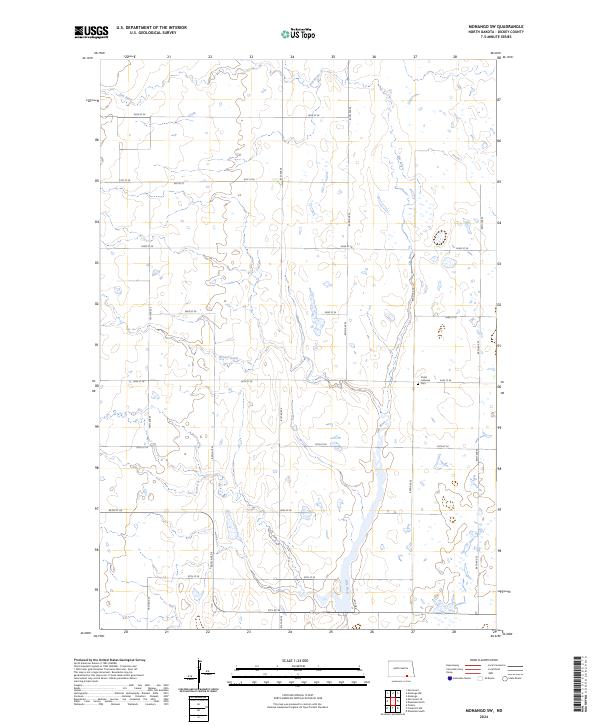
(7)- 2020 Map of Forbes, 2020 Print
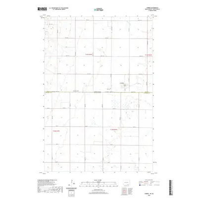 2020 Forbes2020 Print · USGSCovers Elm Township, including Forbes, Lorraine Township, and other nearby areas
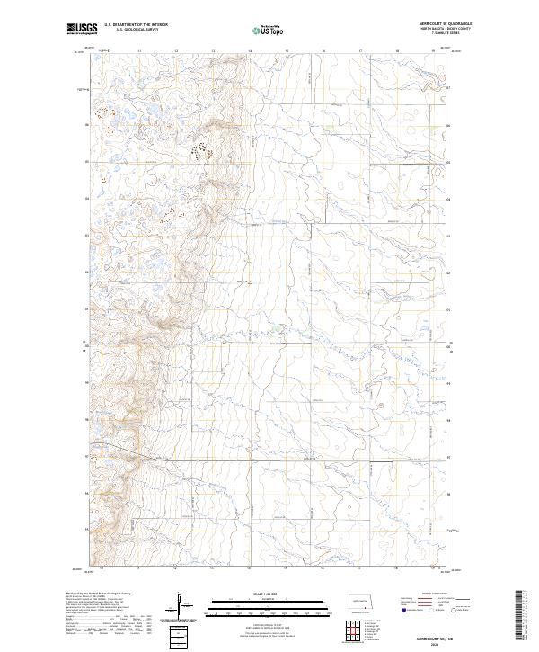
 - 2020 Map of Merricourt SE, 2020 Print
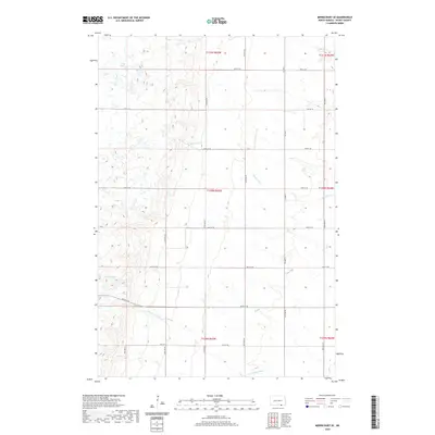 2020 Merricourt SE2020 Print · USGSCovers Elm Township, including Hamburg Township, Whitestone Township, and other nearby areas
 - 2020 Map of Monango SW, 2020 Print
 2020 Monango SW2020 Print · USGSCovers Elm Township, including Hamburg Township, Keystone Township, and other nearby areas
 - 2021 Map of Frederick NW, 2021 Print
 2021 Frederick NW2021 Print · USGSThe borderlands of Brown and Dickey counties are captured here in the early 2020s, centered on the waters of Elm Lake. Genealogists can locate the Aurdal Cem near the state line or trace the drainage of Webber Gulch through the rural prairie.
 - 2024 Map of Forbes, 2024 Print
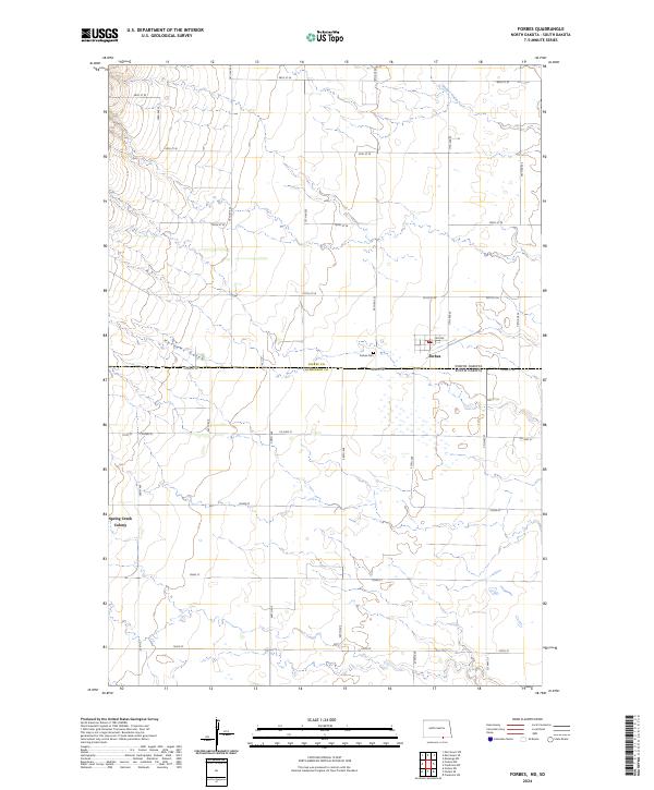 2024 Forbes2024 Print · USGSThe Dakota borderlands come into focus in this recent survey of the prairie transition between Dickey and McPherson counties. Genealogists and local historians can trace the rural layouts of Forbes, the Spring Creek Colony, and the historic Forbes Cem.
 - 2024 Map of Monango SW, 2024 Print
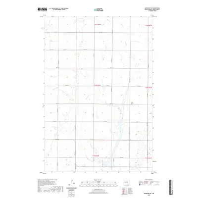
 2024 Monango SW2024 Print · USGSDickey County is mapped here in the early twenty-first century, showcasing a rural landscape defined by prairie wetlands and section-line roads. Genealogists and local historians can locate the Christ Lutheran church and its Cem or trace the winding course of the Elm River.
 - 2024 Map of Merricourt SE, 2024 Print
 2024 Merricourt SE2024 Print · USGSSoutheastern North Dakota's wetland landscape is preserved in this recent survey of rural Dickey County. Researchers can trace the drainage patterns of Bristol Gulch and Webber Gulch or locate family lands near Happy Lake.
End of results
Showing maps 1-7 of 7
Top cities near Elm Township
Frequently asked questions
- What are the different types of historical maps available for Elm Township?
- What is the oldest map of Elm Township?
- Where can I purchase historical maps of Elm Township for my home or office?
- Where can I download high-res historical maps of Elm Township?
- Are there historical topographic maps available for Elm Township?
- Is there historical aerial imagery available for Elm Township?
- Where are historical maps of Elm Township sourced from?