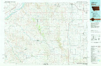
Old Maps of Beach Township, North Dakota for Hiking & Exploration
Hike through history with 43 historic maps of Beach Township. Explore old trails, ghost towns, and forgotten backroads — perfect for outdoor adventurers and local explorers.
- Rediscover forgotten places: Map out old mining camps, roads, and footpaths that no longer exist on modern maps.
- Layer with modern tools: Combine with LiDAR or satellite views to plan hikes through historical terrain.
- Made for exploration: Popular among hikers, overlanders, and local history lovers.
Use these maps to find adventure and explore the hidden past of Beach Township.
Beach Township, ND maps
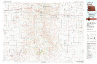
(43)- 1953 Map of Miles City, 1966 Print
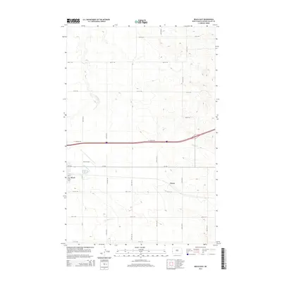
 1953 Miles City1966 Print · USGSEastern Montana and the North Dakota borderlands come alive in this mid-century survey of the Yellowstone River valley. Genealogists and historians can trace the rural network of the era through sites like Fertile Prairie School, St Johns Church, and the rail lines serving Ismay and Plevna.4 unique versions available
 - 1953 Map of Dickinson, 1968 Print
 1953 Dickinson1968 Print · USGSWestern North Dakota in the fifties remains a landscape of rail-linked prairie towns and rugged badlands. Trace the local impact of the Northern Pacific railroad through Dickinson or locate early rural landmarks like Rainy Butte Church and Boys Ranch.2 unique versions available
 - 1957 Map of Dickinson
 1957 Dickinson1957 Print · USGSSouthwestern North Dakota in the mid-fifties is a landscape of coal mining and tight-knit rural school districts. Genealogists can trace family footprints through numerous country schools like Fisher School and parish churches like St Stephens.
 - 1957 Map of Miles City
 1957 Miles City1957 Print · USGSEastern Montana and the North Dakota borderlands come alive in the mid-fifties as the rail and ranching economy peaks along the Yellowstone River. Genealogists and historians can trace numerous rural landmarks like St Phillips Church, Fertile Prairie School, and the Ostendorf Ranch.
 - 1958 Map of Miles City
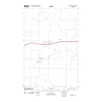
 1958 Miles City1958 Print · USGSEastern Montana ranching and rail life are documented here during the late fifties, centered on the confluence of the Yellowstone River and Powder River. Researchers can trace rural school locations like St Phillips Church and Chimney Creek School alongside dozens of named family ranches.
 - 1979 Map of Sentinel Butte SE
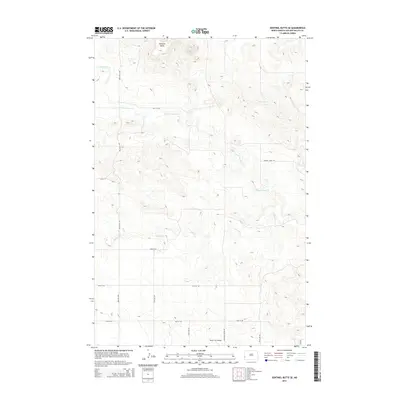
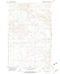 1979 Sentinel Butte SE1979 Print · USGSThe high plains of Golden Valley County come into focus during the late 1970s, showing a landscape of deep creek forks and scattered ranching infrastructure. Researchers can locate remote landmarks like the Landing Strip and named rural routes such as Garner Creek Road.
 - 1980 Map of Beach East
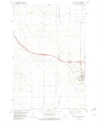
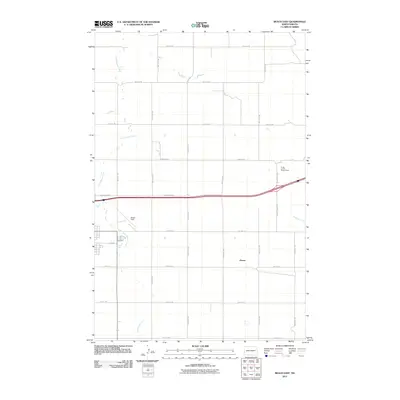
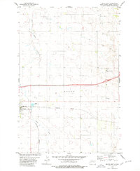 1980 Beach East1980 Print · USGSGolden Valley County's eastern prairies are captured here in the early 1980s, showing the intersection of ranching life and rail commerce. Researchers can trace the Burlington Northern line past the Grain Elevator in Beach to landmarks like the Home on the Range Ranch.
 - 1980 Map of Sentinel Butte
 1980 Sentinel Butte1980 Print · USGSSentinel Butte and the surrounding high plains are captured here in the early 1980s as the rail and highway corridor dominated the landscape. Genealogists and local historians can locate St Michaels Cem, the settlement of Delhi, and landmarks like Camels Hump Butte.
 - 1980 Map of Thelan
 1980 Thelan1980 Print · USGSGolden Valley County agricultural life and rail infrastructure are captured here in the early eighties. Genealogists and historians can trace the tracks of the Burlington Northern past Thelan and its Grain Elevator, or locate the settlements of Ekre and Golva.
 - 1980 Map of Belfield, 1981 Print
 1980 Belfield1981 Print · USGSThe North Dakota badlands and the Little Missouri River valley are captured here in the early eighties as energy development and conservation shaped the land. Genealogists and researchers can trace the rail corridor through Medora, Sully Springs, and Beach, or locate early industrial sites like Ridl Mine and the Fryburg Oil Field.
 - 1981 Map of Wibaux, 1982 Print
 1981 Wibaux1982 Print · USGSThe Montana and North Dakota borderlands come into focus in the early 1980s, showcasing a landscape shaped by the BURLINGTON NORTHERN railroad and the Yellowstone River. Researchers can trace the rail corridor through Wibaux and Yates or locate isolated landmarks like Graveyard Hill and Johnstone Dam.
 - 1982 Map of Beach West
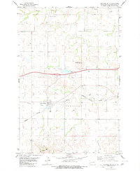
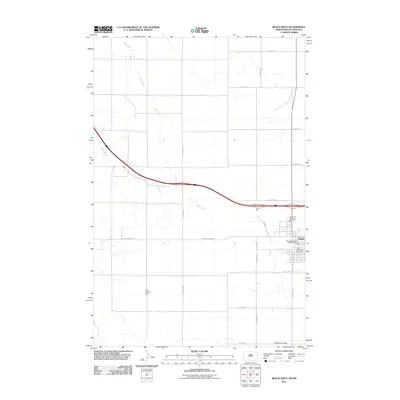
 1982 Beach West1982 Print · USGSThe North Dakota-Montana border comes alive in the early eighties as a hub of rail transit and prairie industry. Genealogists and local historians can trace the foundations of Beach, from the High Sch to the Black Diamond Mine and the Rodeo Ground.
 - 1982 Map of Duck Creek
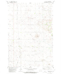
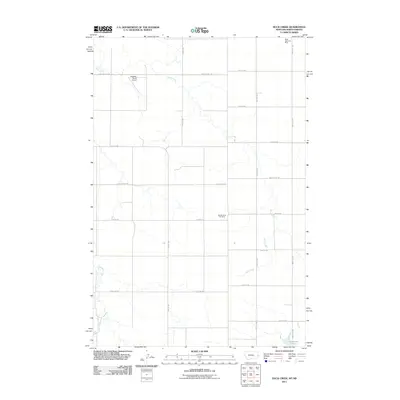
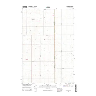
 1982 Duck Creek1982 Print · USGSThe borderlands of Montana and North Dakota are documented here in the early eighties, centered on the Duck Creek drainage. Researchers can trace land use patterns through numerous wells, remote Landing Strips, and Johnstone Dam.
 - 2011 Map of Sentinel Butte, 2011 Print
 2011 Sentinel Butte2011 Print · USGSCovers Beach Township, including Sentinel Butte, Sentinel Township, and other nearby areas
 - 2011 Map of Beach East, 2011 Print
 2011 Beach East2011 Print · USGSCovers Beach Township, including Beach, Chama, and other nearby areas
 - 2011 Map of Sentinel Butte SE, 2011 Print
 2011 Sentinel Butte SE2011 Print · USGSCovers Beach Township, including Sentinel Township, Garner Township, and other nearby areas
 - 2011 Map of Thelan, 2011 Print
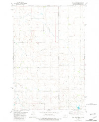
 2011 Thelan2011 Print · USGSCovers Beach Township, including Thelan, Ekre, and other nearby areas
 - 2011 Map of Duck Creek, 2011 Print
 2011 Duck Creek2011 Print · USGSCovers Beach Township, including Lone Tree Township, Wibaux County, and other nearby areas
 - 2011 Map of Beach West, 2011 Print
 2011 Beach West2011 Print · USGSCovers Beach Township, including Beach, Saddle Butte Township, and other nearby areas
 - 2014 Map of Beach West, 2014 Print
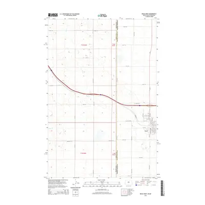 2014 Beach West2014 Print · USGSCovers Beach Township, including Beach, Saddle Butte Township, and other nearby areas
 - 2014 Map of Thelan, 2014 Print
 2014 Thelan2014 Print · USGSCovers Beach Township, including Thelan, Ekre, and other nearby areas
 - 2014 Map of Sentinel Butte, 2014 Print
 2014 Sentinel Butte2014 Print · USGSCovers Beach Township, including Sentinel Butte, Sentinel Township, and other nearby areas
 - 2014 Map of Sentinel Butte SE, 2014 Print
 2014 Sentinel Butte SE2014 Print · USGSCovers Beach Township, including Sentinel Township, Garner Township, and other nearby areas
 - 2014 Map of Beach East, 2014 Print
 2014 Beach East2014 Print · USGSCovers Beach Township, including Beach, Chama, and other nearby areas
 - 2014 Map of Duck Creek, 2014 Print
 2014 Duck Creek2014 Print · USGSCovers Beach Township, including Lone Tree Township, Wibaux County, and other nearby areas
Showing maps 1-25 of 43
Top cities near Beach Township
Top neighborhoods of Beach Township
Frequently asked questions
- What are the different types of historical maps available for Beach Township?
- What is the oldest map of Beach Township?
- Where can I purchase historical maps of Beach Township for my home or office?
- Where can I download high-res historical maps of Beach Township?
- Are there historical topographic maps available for Beach Township?
- Is there historical aerial imagery available for Beach Township?
- Where are historical maps of Beach Township sourced from?