2020s Maps of Beach Township, North Dakota
Explore 12 historic maps of Beach Township from the 2020s. These maps offer a rare glimpse into what life looked like during the 2020s — showing old roads, neighborhoods, homes, and landmarks that have changed or disappeared over time.
Whether you're researching your family's past, planning a metal detecting trip, or studying how Beach Township's landscape evolved across the 2020s, these high-resolution maps are a powerful tool for exploring the history of this region.
- Focus on a specific era: All maps on this page are from the 2020s, giving you a focused view of this time period.
- See what’s changed: Compare century-old streets, trails, and buildings to today's modern landscape using overlays and satellite layers.
- Research with precision: Use these maps for genealogy, historical research, land use analysis, or educational projects.
- View, download, or print: Maps are fully viewable online in high resolution, and can be downloaded or printed for your own records.
Start exploring Beach Township's history through authentic maps from the 2020s. This is your window into the past.
Beach Township, ND maps
(12)- 2020 Map of Duck Creek, 2020 Print
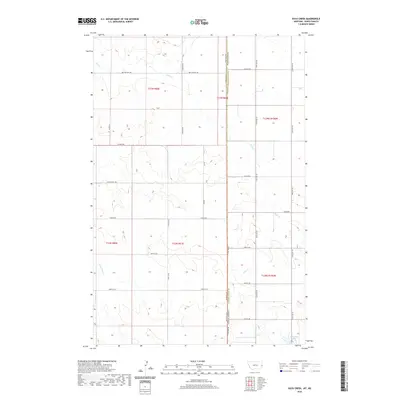 2020 Duck Creek2020 Print · USGSCovers Beach Township, including Lone Tree Township, Wibaux County, and other nearby areas
 - 2020 Map of Beach West, 2020 Print
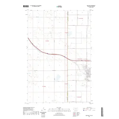 2020 Beach West2020 Print · USGSCovers Beach Township, including Beach, Saddle Butte Township, and other nearby areas
 - 2020 Map of Beach East, 2020 Print
 2020 Beach East2020 Print · USGSCovers Beach Township, including Beach, Chama, and other nearby areas
 - 2020 Map of Sentinel Butte SE, 2020 Print
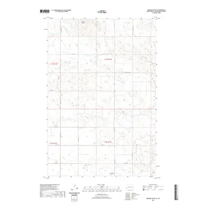 2020 Sentinel Butte SE2020 Print · USGSCovers Beach Township, including Sentinel Township, Garner Township, and other nearby areas
 - 2020 Map of Sentinel Butte, 2020 Print
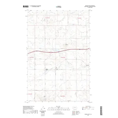 2020 Sentinel Butte2020 Print · USGSCovers Beach Township, including Sentinel Butte, Sentinel Township, and other nearby areas
 - 2020 Map of Thelan, 2020 Print
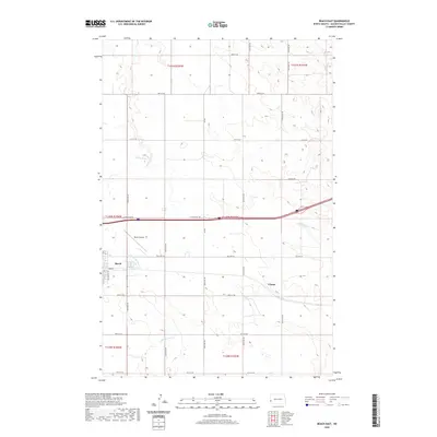
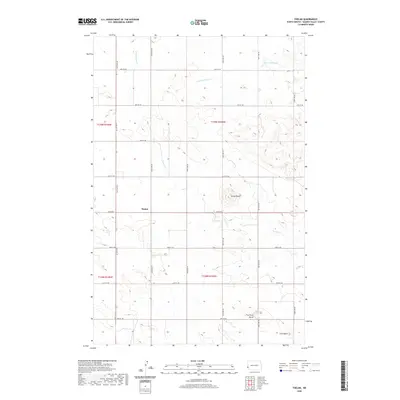 2020 Thelan2020 Print · USGSCovers Beach Township, including Thelan, Ekre, and other nearby areas
 - 2024 Map of Duck Creek, 2024 Print
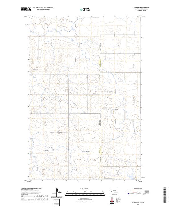 2024 Duck Creek2024 Print · USGSThe borderlands of Montana and North Dakota are captured here in the 2020s, showing a sparse ranching landscape shaped by early section lines. Trace local history along St Philip Rd and Thelen Rd, or follow the winding course of Duck Creek.
 - 2024 Map of Sentinel Butte, 2024 Print
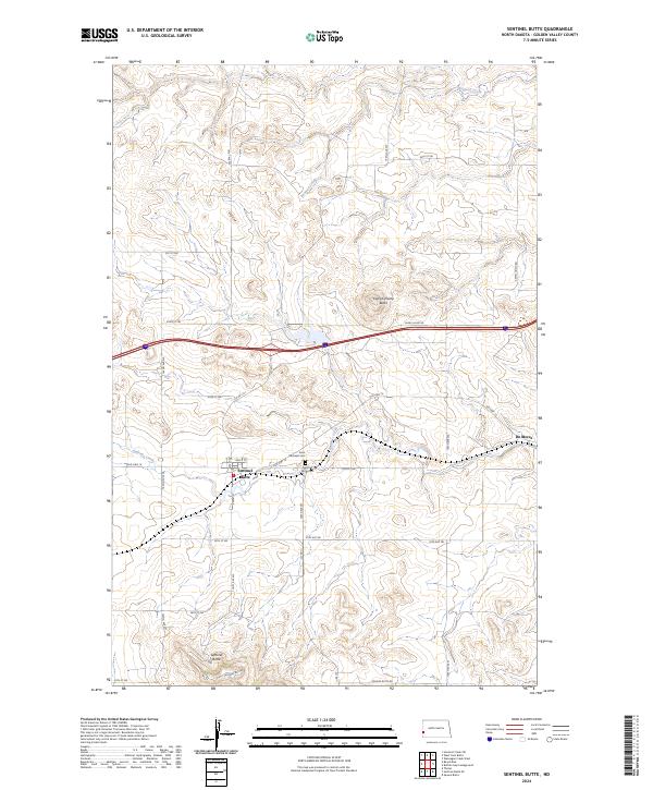 2024 Sentinel Butte2024 Print · USGSThe high plateaus of Golden Valley County are shown in the 2020s, centered on the settlement of Sentinel Butte. Researchers can trace local history through Saint Michaels Cem, the landmark Camels Hump Butte, and the old route of Old Hwy 10.
 - 2024 Map of Thelan, 2024 Print
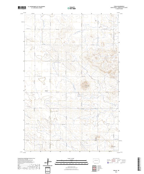 2024 Thelan2024 Print · USGSGolden Valley County, North Dakota, is mapped here in the modern era, showing the intersection of rural section roads and natural prairie landmarks. Researchers can trace the drainage of Garner Creek and locate high-ground features like Rocky Butte and Five Point Butte.
 - 2024 Map of Beach East, 2024 Print
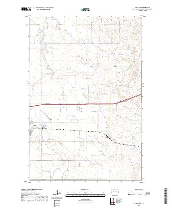 2024 Beach East2024 Print · USGSGolden Valley County's wide-open plains are captured in this modern survey of the western North Dakota borderlands. Researchers can trace the layout of Beach, follow the course of Little Beaver Creek, or locate the site of Chama along Old Hwy 10.
 - 2024 Map of Beach West, 2024 Print
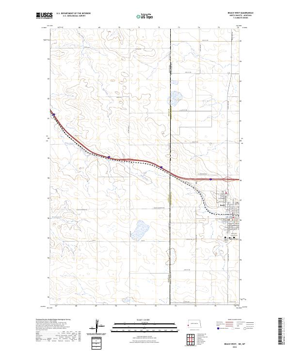 2024 Beach West2024 Print · USGSWestern Golden Valley County is documented here during the early 2020s, centered on the border town of Beach. Researchers can trace local burial sites including Beach City Cem and locate civic landmarks like the Court House near the Montana line.
 - 2024 Map of Sentinel Butte SE, 2024 Print
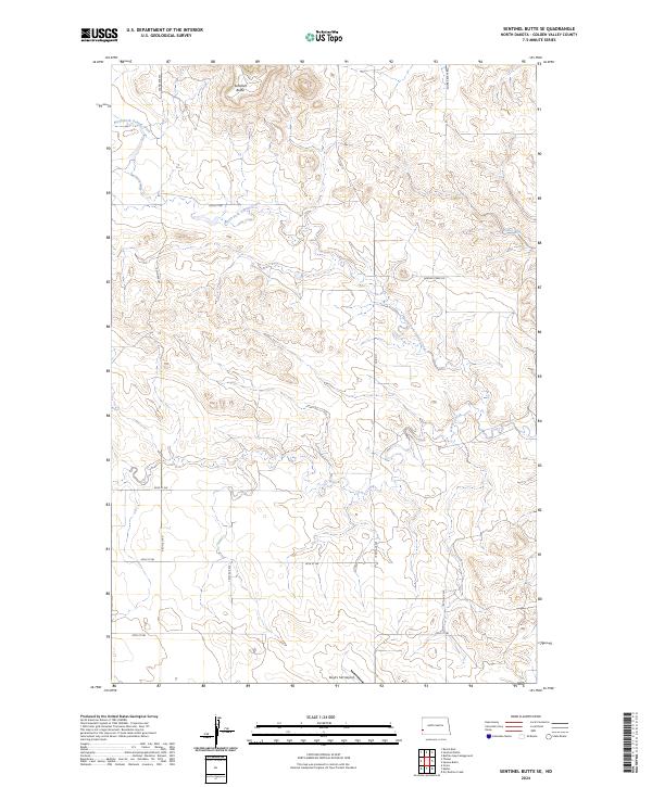 2024 Sentinel Butte SE2024 Print · USGSGolden Valley County's high plains are captured here in the early twenty-first century, showing a landscape of deep coulees and seasonal runs. You can trace the path of North Fork Garner Creek or locate landmarks like Boyd's Turf Airport and Sentinel Butte.
End of results
Showing maps 1-12 of 12
Top cities near Beach Township
Top neighborhoods of Beach Township
Frequently asked questions
- What are the different types of historical maps available for Beach Township?
- What is the oldest map of Beach Township?
- Where can I purchase historical maps of Beach Township for my home or office?
- Where can I download high-res historical maps of Beach Township?
- Are there historical topographic maps available for Beach Township?
- Is there historical aerial imagery available for Beach Township?
- Where are historical maps of Beach Township sourced from?