Old Maps of Elk Creek Township, North Dakota for Academic Research
Study the evolution of Elk Creek Township with 30 high-resolution historic maps. Whether you're teaching, researching, or modeling changes in land use, these maps provide essential visual documentation of urban, environmental, and geographic change.
- Analyze long-term change: Track patterns in development, transportation, and natural features.
- Ideal for environmental or urban studies: Support academic projects with primary historical map data.
- Use in the classroom or lab: Educators and researchers rely on these maps to bring historical context to life.
These maps are a powerful tool for teaching, research, and visualizing how Elk Creek Township has changed over the decades.
Elk Creek Township, ND maps
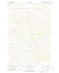
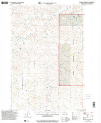
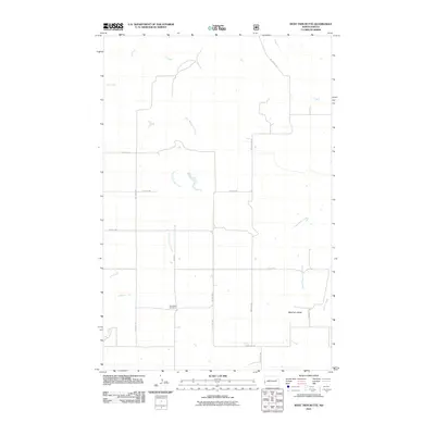
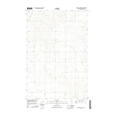
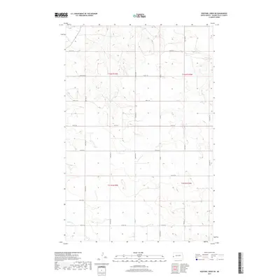
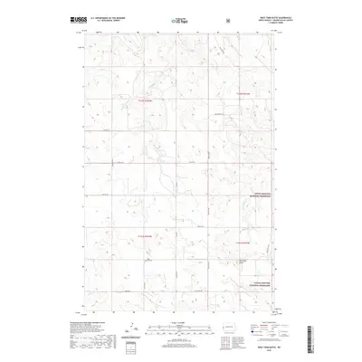
(30)- 1953 Map of Watford City, 1968 Print
 1953 Watford City1968 Print · USGSNorth Dakota's badlands and the Missouri River basin are captured here during the 1950s and 60s as the Garrison Dam changed the landscape. Researchers can trace old rail lines like the Great Northern or find rural outposts such as Grassy Butte and Halliday.3 unique versions available
 - 1957 Map of Watford City
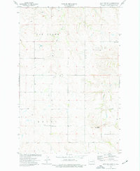
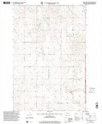
 1957 Watford City1957 Print · USGSWestern North Dakota's landscape is captured here during the mid-fifties as the Missouri River valley undergoes massive change following the creation of Garrison Reservoir. Genealogists and historians can trace dozens of rural schools like Divide School and early settlements such as Arnegard and Grassy Butte.
 - 1967 Map of Watford City
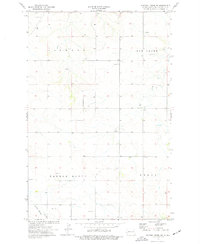
 1967 Watford City1967 Print · USGSWestern North Dakota is captured during a period of landscape transformation as the Missouri River valley was reshaped by the new Garrison Reservoir. Genealogists and local historians can trace the foundations of Watford City, find the Elkhorn Ranch Site, or locate rural landmarks like Ziner Butte and Grassy Butte.
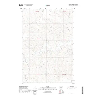
 - 1974 Map of Hootowl Creek West, 1977 Print
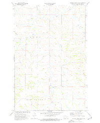
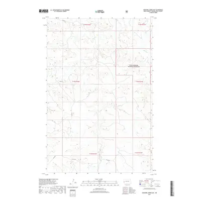
 1974 Hootowl Creek West1977 Print · USGSGolden Valley County's western plains are captured here in the mid-seventies, showing a landscape defined by water and ranching. Genealogists and historians can trace the boundaries of Henry and Pearl or locate landmarks like the Flowing Well and Gravel Pit.
 - 1974 Map of West Twin Butte, 1977 Print
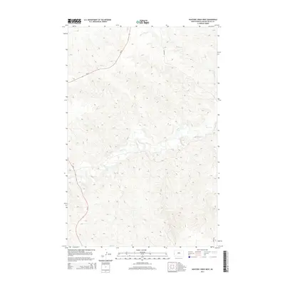
 1974 West Twin Butte1977 Print · USGSGolden Valley County in the mid-1970s shows a landscape of high buttes and drainage basins before modern oil development. Genealogists and local historians can locate Plain View Cem, the Westerheim Sch, and early excavations like the Scoria Pit.
 - 1974 Map of Hootowl Creek SW, 1977 Print
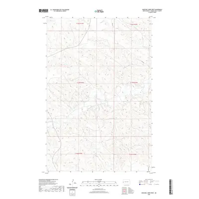
 1974 Hootowl Creek SW1977 Print · USGSGolden Valley County in the mid-seventies is documented here during a period of quiet ranching and resource extraction. Genealogists and local historians can trace the topography of Elmwood and locate landmarks like the Townhall and Saddle Butte.
 - 1974 Map of Hootowl Creek East, 1977 Print
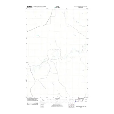
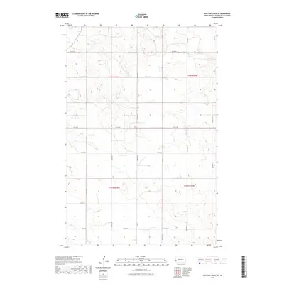
 1974 Hootowl Creek East1977 Print · USGSGolden Valley County's rural townships are captured here in the mid-1970s, showcasing a landscape defined by its intricate drainage basins. Researchers can trace the meandering paths of Hootowl Creek, locate Bell Lake, or identify local landmarks like the Gravel Pit.
 - 1983 Map of Grassy Butte
 1983 Grassy Butte1983 Print · USGSWestern North Dakota’s Badlands are mapped here in the early 1980s, centered on the Little Missouri River and its rugged breaks. Local historians can trace the boundaries of Grassy Butte and Fairfield, alongside landmarks like Pikes Peak and the isolated Elkhorn Ranch Site.
 - 1997 Map of Hootowl Creek East, 2001 Print
 1997 Hootowl Creek East2001 Print · USGSGolden Valley County in the late nineties remains a landscape of open prairie and managed range. Genealogists and historians can trace the drainage patterns of Hootowl Creek and Beaver Creek or locate landmarks within the Little Missouri National Grassland.
 - 1997 Map of West Twin Butte, 2001 Print
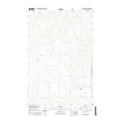
 1997 West Twin Butte2001 Print · USGSGolden Valley County in the late nineties remains a quiet expanse of public grassland and scattered homesteads. Researchers can trace the roots of rural prairie life through the Westerheim Sch, the Plain View Cem, and the high point at West Twin Butte.
 - 2011 Map of Hootowl Creek SW, 2011 Print
 2011 Hootowl Creek SW2011 Print · USGSCovers Elk Creek Township, including Elmwood Township, Saddle Butte Township, and other nearby areas
 - 2011 Map of Hootowl Creek East, 2011 Print
 2011 Hootowl Creek East2011 Print · USGSCovers Elk Creek Township, including Pearl Township, Golden Valley County, and other nearby areas
 - 2011 Map of West Twin Butte, 2011 Print
 2011 West Twin Butte2011 Print · USGSCovers Elk Creek Township, including Delhi Township, Golden Valley County, and other nearby areas
 - 2011 Map of Hootowl Creek West, 2011 Print
 2011 Hootowl Creek West2011 Print · USGSCovers Elk Creek Township, including Pearl Township, Henry Township, and other nearby areas
 - 2014 Map of Hootowl Creek West, 2014 Print
 2014 Hootowl Creek West2014 Print · USGSCovers Elk Creek Township, including Pearl Township, Henry Township, and other nearby areas
 - 2014 Map of Hootowl Creek East, 2014 Print
 2014 Hootowl Creek East2014 Print · USGSCovers Elk Creek Township, including Pearl Township, Golden Valley County, and other nearby areas
 - 2014 Map of Hootowl Creek SW, 2014 Print
 2014 Hootowl Creek SW2014 Print · USGSCovers Elk Creek Township, including Elmwood Township, Saddle Butte Township, and other nearby areas
 - 2014 Map of West Twin Butte, 2014 Print
 2014 West Twin Butte2014 Print · USGSCovers Elk Creek Township, including Delhi Township, Golden Valley County, and other nearby areas
 - 2017 Map of West Twin Butte, 2017 Print
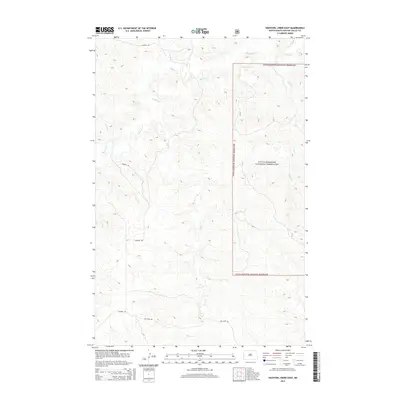
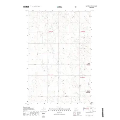 2017 West Twin Butte2017 Print · USGSCovers Elk Creek Township, including Delhi Township, Golden Valley County, and other nearby areas
 - 2017 Map of Hootowl Creek East, 2017 Print
 2017 Hootowl Creek East2017 Print · USGSCovers Elk Creek Township, including Pearl Township, Golden Valley County, and other nearby areas
 - 2017 Map of Hootowl Creek SW, 2017 Print
 2017 Hootowl Creek SW2017 Print · USGSCovers Elk Creek Township, including Elmwood Township, Saddle Butte Township, and other nearby areas
 - 2019 Map of Hootowl Creek West, 2019 Print
 2019 Hootowl Creek West2019 Print · USGSCovers Elk Creek Township, including Pearl Township, Henry Township, and other nearby areas
 - 2020 Map of Hootowl Creek West, 2020 Print
 2020 Hootowl Creek West2020 Print · USGSCovers Elk Creek Township, including Pearl Township, Henry Township, and other nearby areas
 - 2020 Map of Hootowl Creek SW, 2020 Print
 2020 Hootowl Creek SW2020 Print · USGSCovers Elk Creek Township, including Elmwood Township, Saddle Butte Township, and other nearby areas
 - 2020 Map of West Twin Butte, 2020 Print
 2020 West Twin Butte2020 Print · USGSCovers Elk Creek Township, including Delhi Township, Golden Valley County, and other nearby areas
Showing maps 1-25 of 30
Top cities near Elk Creek Township
Frequently asked questions
- What are the different types of historical maps available for Elk Creek Township?
- What is the oldest map of Elk Creek Township?
- Where can I purchase historical maps of Elk Creek Township for my home or office?
- Where can I download high-res historical maps of Elk Creek Township?
- Are there historical topographic maps available for Elk Creek Township?
- Is there historical aerial imagery available for Elk Creek Township?
- Where are historical maps of Elk Creek Township sourced from?