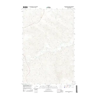
2014 Map of Hootowl Creek West
USGS Topo · Published 2014About this map
Beaver Cr and Hootowl Cr define the drainage of this western North Dakota landscape within Pearl Township. The map depicts a sparse, high-plains environment where the natural topography is the primary feature, intersected by a limited road network that includes ND-16 and Mosher Rd. This 2014 survey reveals a territory of significant elevation changes and seasonal watercourses, reflecting the rural character of Golden Valley County. The drainage patterns of the creeks provide a detailed view of the local hydrology, showing how water moves through the dissected plains before any major modern industrial footprint altered the surface. For those studying the geography of the North Dakota-Montana border region, the sheet offers a clear look at the township's physical layout and transportation corridors.
Find a feature on this map
4 named features on this map. Tap any name to fly to it.
Don’t see what you’re looking for? This feature index may not catch every label — zoom into the map to look around manually.
Map Details
Editions of this 2014 Hootowl Creek West Map
This is the sole edition of this map. No revisions or reprints were ever made.
Other maps of this area

1909 · Glendive
USGS Topo · 1:250,000

1953 · Watford City
USGS Topo · 1:250,000

1954 · Glendive
USGS Topo · 1:250,000

1957 · Glendive
USGS Topo · 1:250,000

1957 · Watford City
USGS Topo · 1:250,000

1958 · Glendive
USGS Topo · 1:250,000

1967 · Watford City
USGS Topo · 1:250,000

1974 · Hootowl Creek West
USGS Topo · 1:24,000

1974 · Trotters SE
USGS Topo · 1:24,000

1974 · West Twin Butte
USGS Topo · 1:24,000
Featured Places
- Pearl Township, ND
- Henry Township, ND
- Elmwood Township, ND
- Elk Creek Township, ND
- Golden Valley County, ND