
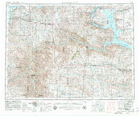
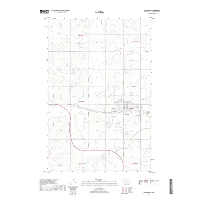
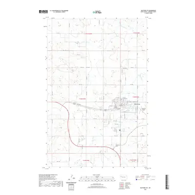
1967 Map of Watford City
USGS Topo · Published 1967About this map
The Little Missouri River carves a path through the Badlands of western North Dakota, defining the landscape of the Theodore Roosevelt National Memorial Park (North Unit) and the South Unit. This mid-century survey documents the region as the Garrison Reservoir reshaped the valley of the Missouri River, flooding former river bottomlands to create the massive water body seen here bordering the Fort Berthold Indian Reservation.
Find a feature on this map
109 named features on this map. Tap any name to fly to it.
Don’t see what you’re looking for? This feature index may not catch every label — zoom into the map to look around manually.
Map Details
Editions of this 1967 Watford City Map
This is the sole edition of this map. No revisions or reprints were ever made.
Historical Maps of Watford City Through Time
9 maps found
1953 Watford City
McKenzie County, ND

1957 Watford City
McKenzie County, ND
1967 Watford City
McKenzie County, ND
1978 Watford City
McKenzie County, ND
2011 Watford City
McKenzie County, ND
2014 Watford City
McKenzie County, ND
2017 Watford City
McKenzie County, ND
2020 Watford City
McKenzie County, ND
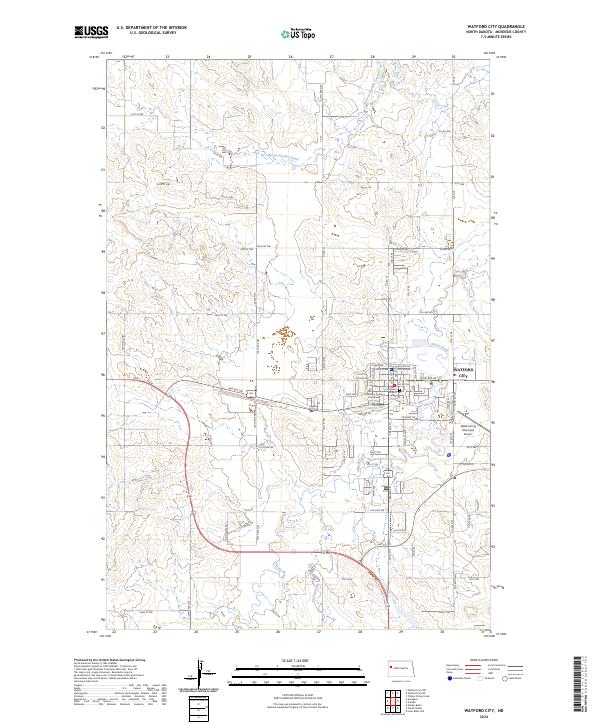
2024 Watford City
McKenzie County, ND