
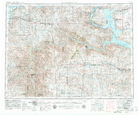
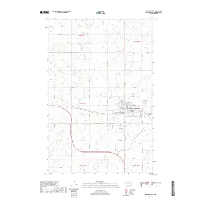
1957 Map of Watford City
USGS Topo · Published 1957About this map
The Missouri River and Little Missouri River carve through this western North Dakota landscape during a period of significant environmental and infrastructure change. The expansive Garrison Reservoir dominates the eastern portion of the sheet, its rising waters surrounding the Fort Berthold Indian Reservation and several Indian Service Headquarters locations. This mid-century survey documents the region just as these major water projects were altering the geography of local ranching and tribal lands.
Find a feature on this map
155 named features on this map. Tap any name to fly to it.
Don’t see what you’re looking for? This feature index may not catch every label — zoom into the map to look around manually.
Map Details
Editions of this 1957 Watford City Map
This is the sole edition of this map. No revisions or reprints were ever made.
Historical Maps of Watford City Through Time
9 maps found
1953 Watford City
McKenzie County, ND
1957 Watford City
McKenzie County, ND

1967 Watford City
McKenzie County, ND
1978 Watford City
McKenzie County, ND
2011 Watford City
McKenzie County, ND
2014 Watford City
McKenzie County, ND
2017 Watford City
McKenzie County, ND
2020 Watford City
McKenzie County, ND
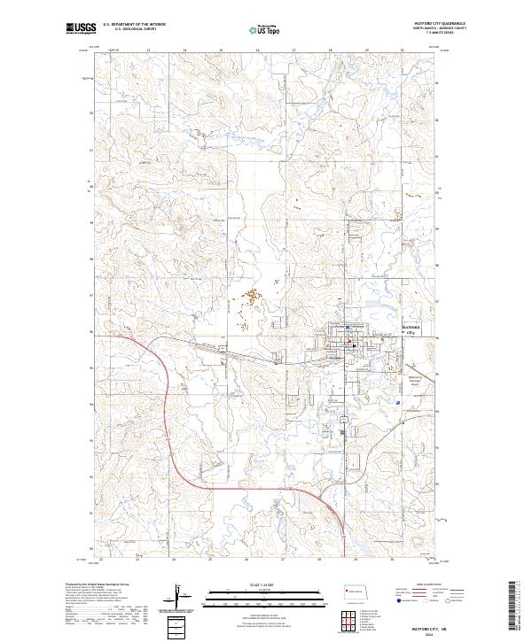
2024 Watford City
McKenzie County, ND