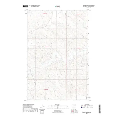
2019 Map of Hootowl Creek West
USGS Topo · Published 2019About this map
Hootowl Creek and Beaver Creek define the drainage patterns of this Golden Valley County landscape, where the terrain is marked by intricate elevation contours. The 2019 survey shows a sparsely populated region of western North Dakota, primarily organized by the Public Land Survey System as indicated by township boundaries like t144n r105w and t143n r104w. Apart from the namesake waterways, the presence of Mosher Road represents the primary named infrastructure through these sections. The map serves as a clear record of the area's rural character, emphasizing the natural topography over modern development and preserving the specific names of the drainage basins as they were identified in the early 21st century.
Find a feature on this map
9 named features on this map. Tap any name to fly to it.
Don’t see what you’re looking for? This feature index may not catch every label — zoom into the map to look around manually.
Map Details
Editions of this 2019 Hootowl Creek West Map
This is the sole edition of this map. No revisions or reprints were ever made.
Other maps of this area

1909 · Glendive
USGS Topo · 1:250,000

1953 · Watford City
USGS Topo · 1:250,000

1954 · Glendive
USGS Topo · 1:250,000

1957 · Glendive
USGS Topo · 1:250,000

1957 · Watford City
USGS Topo · 1:250,000

1958 · Glendive
USGS Topo · 1:250,000

1967 · Watford City
USGS Topo · 1:250,000

1974 · Hootowl Creek West
USGS Topo · 1:24,000

1974 · Trotters SE
USGS Topo · 1:24,000

1974 · West Twin Butte
USGS Topo · 1:24,000
Featured Places
- Pearl Township, ND
- Henry Township, ND
- Elmwood Township, ND
- Elk Creek Township, ND
- Golden Valley County, ND