1970s Maps of Henry Township, North Dakota
Explore 4 historic maps of Henry Township from the 1970s. These maps offer a rare glimpse into what life looked like during the 1970s — showing old roads, neighborhoods, homes, and landmarks that have changed or disappeared over time.
Whether you're researching your family's past, planning a metal detecting trip, or studying how Henry Township's landscape evolved across the 1970s, these high-resolution maps are a powerful tool for exploring the history of this region.
- Focus on a specific era: All maps on this page are from the 1970s, giving you a focused view of this time period.
- See what’s changed: Compare century-old streets, trails, and buildings to today's modern landscape using overlays and satellite layers.
- Research with precision: Use these maps for genealogy, historical research, land use analysis, or educational projects.
- View, download, or print: Maps are fully viewable online in high resolution, and can be downloaded or printed for your own records.
Start exploring Henry Township's history through authentic maps from the 1970s. This is your window into the past.
Henry Township, ND maps
(4)- 1974 Map of Hootowl Creek West, 1977 Print
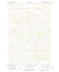 1974 Hootowl Creek West1977 Print · USGSGolden Valley County's western plains are captured here in the mid-seventies, showing a landscape defined by water and ranching. Genealogists and historians can trace the boundaries of Henry and Pearl or locate landmarks like the Flowing Well and Gravel Pit.
 - 1974 Map of Trotters, 1977 Print
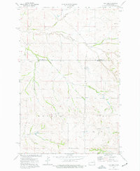 1974 Trotters1977 Print · USGSThe western North Dakota badlands of Golden Valley and McKenzie counties are captured here in the mid-1970s. Local researchers can locate the South Side Cemetery, the central Townhall, and several scoria pits near the settlement of Trotters.
 - 1974 Map of Skaar, 1977 Print
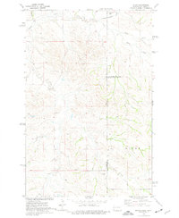 1974 Skaar1977 Print · USGSThe Montana and North Dakota borderlands come into focus in the mid-1970s, showing a landscape shaped by creek drainage and scoria mining. Researchers can trace the rural settlement of Skaar and local extraction sites like the Scoria Pits near Henry Creek.
 - 1974 Map of Odland Dam NE, 1977 Print
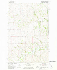 1974 Odland Dam NE1977 Print · USGSThe high plains along the Montana-North Dakota border come alive in this mid-seventies survey. Genealogists and local historians can locate rural landmarks like Arvid Sch and Blue Mountain Cem among the drainages of Dry Beaver Creek.
End of results
Showing maps 1-4 of 4
Frequently asked questions
- What are the different types of historical maps available for Henry Township?
- What is the oldest map of Henry Township?
- Where can I purchase historical maps of Henry Township for my home or office?
- Where can I download high-res historical maps of Henry Township?
- Are there historical topographic maps available for Henry Township?
- Is there historical aerial imagery available for Henry Township?
- Where are historical maps of Henry Township sourced from?