2000s (21st Century) Maps of Henry Township, North Dakota
Explore 20 historic maps of Henry Township from the 2000s (21st Century). These maps offer a rare glimpse into what life looked like during the 2000s — showing old roads, neighborhoods, homes, and landmarks that have changed or disappeared over time.
Whether you're researching your family's past, planning a metal detecting trip, or studying how Henry Township's landscape evolved across the 2000s, these high-resolution maps are a powerful tool for exploring the history of this region.
- Focus on a specific era: All maps on this page are from the 2000s, giving you a focused view of this time period.
- See what’s changed: Compare century-old streets, trails, and buildings to today's modern landscape using overlays and satellite layers.
- Research with precision: Use these maps for genealogy, historical research, land use analysis, or educational projects.
- View, download, or print: Maps are fully viewable online in high resolution, and can be downloaded or printed for your own records.
Start exploring Henry Township's history through authentic maps from the 2000s. This is your window into the past.
Henry Township, ND maps
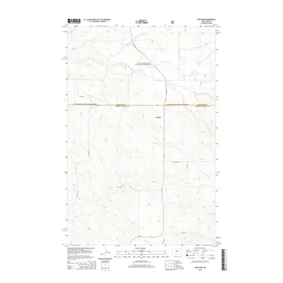
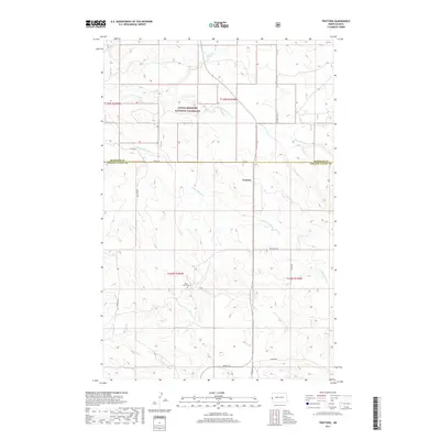
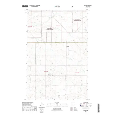
(20)- 2011 Map of Trotters, 2011 Print
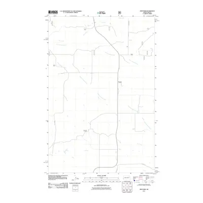 2011 Trotters2011 Print · USGSCovers Henry Township, including Pearl Township, Trotters, and other nearby areas
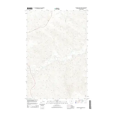
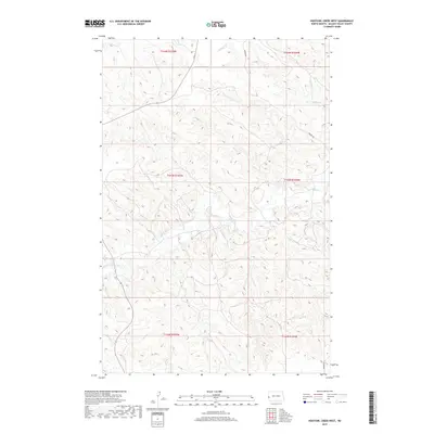
 - 2011 Map of Hootowl Creek West, 2011 Print
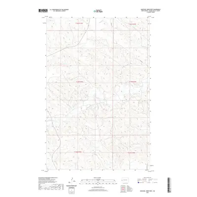
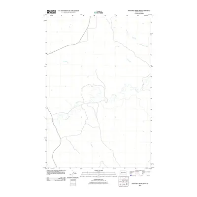 2011 Hootowl Creek West2011 Print · USGSCovers Henry Township, including Pearl Township, Elmwood Township, and other nearby areas
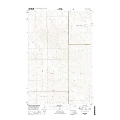
 - 2011 Map of Skaar, 2011 Print
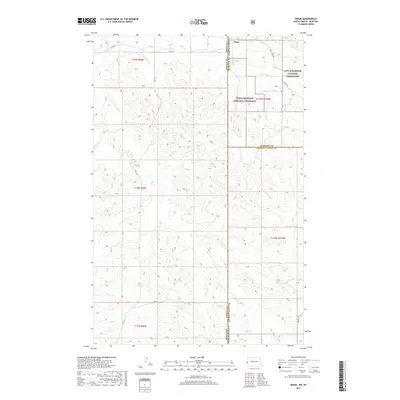
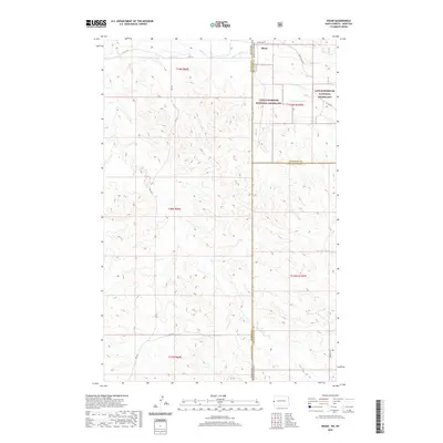
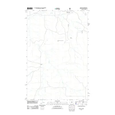 2011 Skaar2011 Print · USGSCovers Henry Township, including Skaar, Wibaux County, and other nearby areas
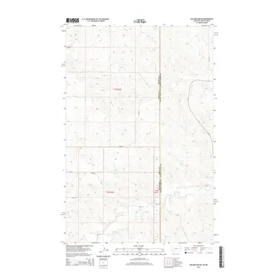
 - 2011 Map of Odland Dam NE, 2011 Print
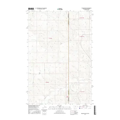
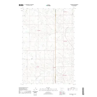
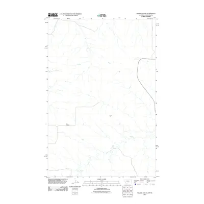 2011 Odland Dam NE2011 Print · USGSCovers Henry Township, including Elmwood Township, Wibaux County, and other nearby areas
 - 2014 Map of Hootowl Creek West, 2014 Print
 2014 Hootowl Creek West2014 Print · USGSCovers Henry Township, including Pearl Township, Elmwood Township, and other nearby areas
 - 2014 Map of Trotters, 2014 Print
 2014 Trotters2014 Print · USGSCovers Henry Township, including Pearl Township, Trotters, and other nearby areas
 - 2014 Map of Skaar, 2014 Print
 2014 Skaar2014 Print · USGSCovers Henry Township, including Skaar, Wibaux County, and other nearby areas
 - 2014 Map of Odland Dam NE, 2014 Print
 2014 Odland Dam NE2014 Print · USGSCovers Henry Township, including Elmwood Township, Wibaux County, and other nearby areas
 - 2017 Map of Odland Dam NE, 2017 Print
 2017 Odland Dam NE2017 Print · USGSCovers Henry Township, including Elmwood Township, Wibaux County, and other nearby areas
 - 2017 Map of Skaar, 2017 Print
 2017 Skaar2017 Print · USGSCovers Henry Township, including Skaar, Wibaux County, and other nearby areas
 - 2017 Map of Trotters, 2017 Print
 2017 Trotters2017 Print · USGSCovers Henry Township, including Pearl Township, Trotters, and other nearby areas
 - 2019 Map of Hootowl Creek West, 2019 Print
 2019 Hootowl Creek West2019 Print · USGSCovers Henry Township, including Pearl Township, Elmwood Township, and other nearby areas
 - 2020 Map of Odland Dam NE, 2020 Print
 2020 Odland Dam NE2020 Print · USGSCovers Henry Township, including Elmwood Township, Wibaux County, and other nearby areas
 - 2020 Map of Hootowl Creek West, 2020 Print
 2020 Hootowl Creek West2020 Print · USGSCovers Henry Township, including Pearl Township, Elmwood Township, and other nearby areas
 - 2020 Map of Trotters, 2020 Print
 2020 Trotters2020 Print · USGSCovers Henry Township, including Pearl Township, Trotters, and other nearby areas
 - 2020 Map of Skaar, 2020 Print
 2020 Skaar2020 Print · USGSCovers Henry Township, including Skaar, Wibaux County, and other nearby areas
 - 2024 Map of Skaar, 2024 Print
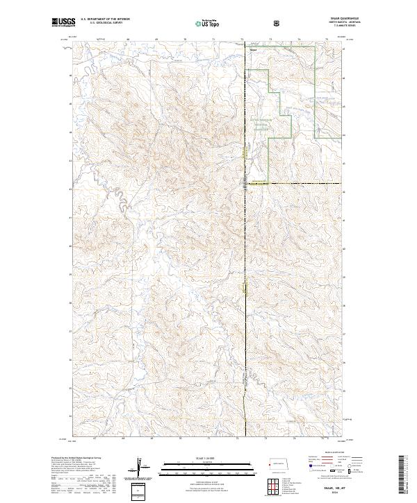 2024 Skaar2024 Print · USGSThe high plains of the Montana and North Dakota border come into focus in this recent survey of the Badlands. Researchers can trace the remote settlement of Skaar and the rugged drainage patterns of Little Missouri National Grassland and Smith Creek.
 - 2024 Map of Odland Dam NE, 2024 Print
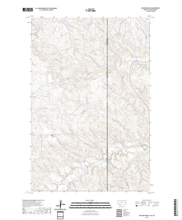 2024 Odland Dam NE2024 Print · USGSThe Montana and North Dakota borderlands are captured here in a contemporary view of the high plains. Genealogists and local historians can locate the Blue Mountain Cem and trace seasonal watercourses like Beaver Creek and Dry Creek.
 - 2024 Map of Hootowl Creek West, 2024 Print
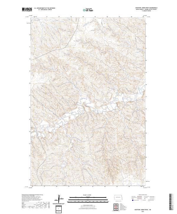 2024 Hootowl Creek West2024 Print · USGSWestern North Dakota is captured in this modern survey of the Golden Valley uplands, showing the intricate drainages of the Badlands. Genealogists and land researchers can trace property boundaries across T144N R105W and follow the paths of Hootowl Creek and Beaver Creek.
 - 2024 Map of Trotters, 2024 Print
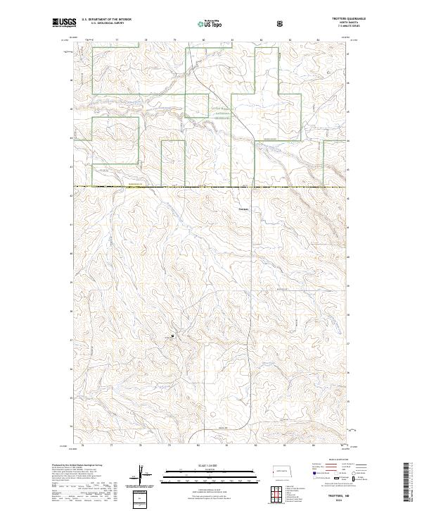 2024 Trotters2024 Print · USGSGolden Valley and McKenzie counties are captured in this contemporary survey of the North Dakota badlands. Researchers can locate the Trotters community and trace early regional history at the South Side Cem near Horse Creek.
End of results
Showing maps 1-20 of 20
Frequently asked questions
- What are the different types of historical maps available for Henry Township?
- What is the oldest map of Henry Township?
- Where can I purchase historical maps of Henry Township for my home or office?
- Where can I download high-res historical maps of Henry Township?
- Are there historical topographic maps available for Henry Township?
- Is there historical aerial imagery available for Henry Township?
- Where are historical maps of Henry Township sourced from?