Old Maps of Grand Forks AFB, North Dakota for Academic Research
Study the evolution of Grand Forks AFB with 12 high-resolution historic maps. Whether you're teaching, researching, or modeling changes in land use, these maps provide essential visual documentation of urban, environmental, and geographic change.
- Analyze long-term change: Track patterns in development, transportation, and natural features.
- Ideal for environmental or urban studies: Support academic projects with primary historical map data.
- Use in the classroom or lab: Educators and researchers rely on these maps to bring historical context to life.
These maps are a powerful tool for teaching, research, and visualizing how Grand Forks AFB has changed over the decades.
Grand Forks AFB, ND maps
(12)- 1934 Map of Emerado
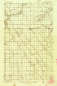 1934 Emerado1934 Print · USGSThe Red River Valley prairie is captured here in the mid-1930s, showing a landscape of strictly gridded farmsteads and rural townships. Genealogists can trace family connections through numerous local landmarks like Mc Cray Sch, Blooming Town Hall, and the Washington Ch.4 unique versions available
 - 1936 Map of Emerado
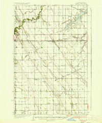 1936 Emerado1936 Print · USGSGrand Forks County agriculture thrived in the mid-1930s as the railroad and new highways bridged the prairie. Genealogists can locate family-named landmarks and rural hubs like the Blooming Town Hall, Gilbert Sch, and Emerado Evangelical Ch.3 unique versions available
 - 1952 Map of Grand Forks, 1967 Print
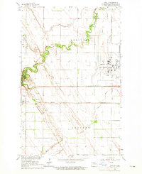
 1952 Grand Forks1967 Print · USGSThe Red River Valley in the early fifties is shown here at the height of its rail-and-river agricultural economy. Researchers can locate small-town landmarks like the Pleasant View School, the Immanuel Lutheran Church, and trace the path of the Soo Line Railroad.3 unique versions available
 - 1956 Map of Grand Forks
 1956 Grand Forks1956 Print · USGSThe Red River Valley in the mid-fifties is captured here as a thriving corridor of grain elevators and rail-linked towns along the North Dakota and Minnesota border. Researchers can trace historic church sites like Immanuel Lutheran Church, vanished rail stops at Tilde Junction, and the boundaries of the White Earth Indian Reservation.
 - 1963 Map of Arvilla, 1965 Print
 1963 Arvilla1965 Print · USGSGrand Forks County in the early 1960s was a landscape defined by the expansion of the Grand Forks Air Force Base and the Great Northern railroad. Genealogists and historians can trace the settlement of Arvilla and the wooded bends of Turtle River State Park.
 - 1966 Map of Grand Forks
 1966 Grand Forks1966 Print · USGSThe Red River Valley in the mid-sixties shows a landscape shaped by rail-line commerce and complex water management. Genealogists and historians can trace rail-side towns like Emerado and Hunter or locate rural landmarks like the Pleasant View Church.
 - 1985 Map of Grand Forks
 1985 Grand Forks1985 Print · USGSThe Red River Valley in the mid-1980s was a landscape of deep-rooted agriculture and rising military significance. Genealogists and researchers can trace the rail-tied development of towns like Larimore and Northwood alongside major landmarks like Grand Forks Air Force Base and Turtle River State Park.2 unique versions available
 - 2011 Map of Arvilla, 2011 Print
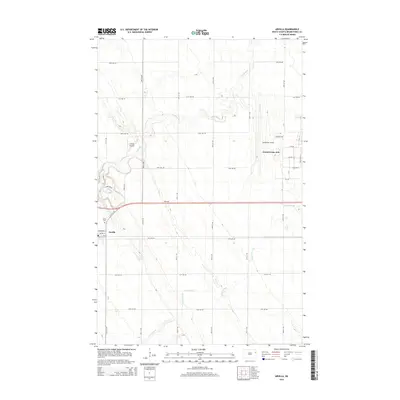
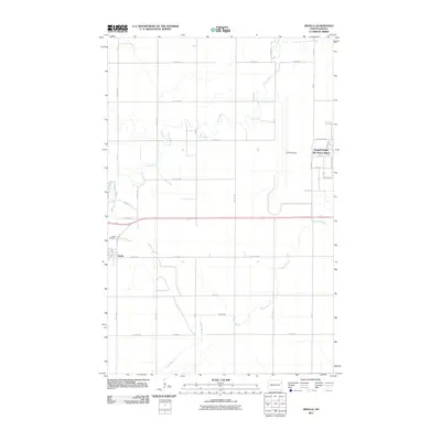 2011 Arvilla2011 Print · USGSCovers Grand Forks AFB, including Arvilla, Grand Forks County, and other nearby areas
 - 2014 Map of Arvilla, 2014 Print
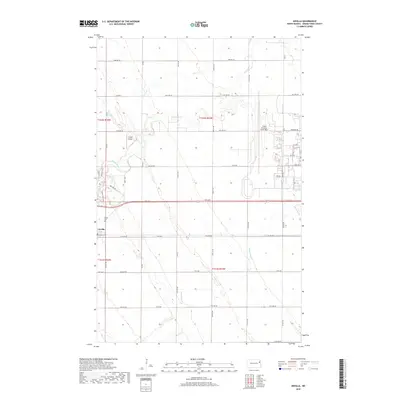
 2014 Arvilla2014 Print · USGSCovers Grand Forks AFB, including Arvilla, Grand Forks County, and other nearby areas
 - 2018 Map of Arvilla, 2018 Print
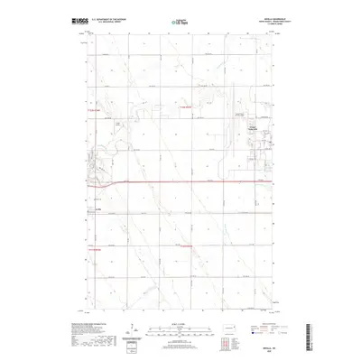
 2018 Arvilla2018 Print · USGSCovers Grand Forks AFB, including Arvilla, Grand Forks County, and other nearby areas
 - 2020 Map of Arvilla, 2020 Print
 2020 Arvilla2020 Print · USGSCovers Grand Forks AFB, including Arvilla, Grand Forks County, and other nearby areas
 - 2024 Map of Arvilla, 2024 Print
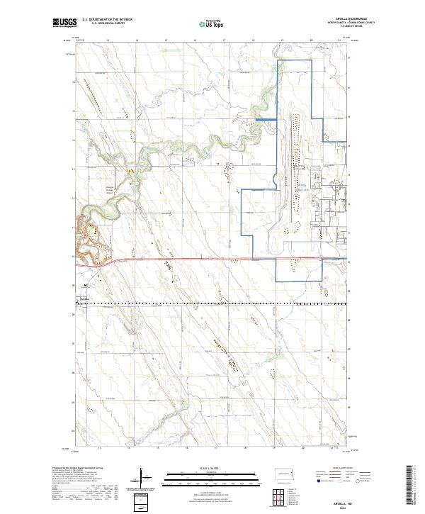 2024 Arvilla2024 Print · USGSGrand Forks County is captured in this contemporary look at the intersection of military operations and rural North Dakota life. Genealogists and local historians can locate Arvilla, trace the winding Turtle River, and examine the footprint of the Grand Forks Air Force Base.
End of results
Showing maps 1-12 of 12
Top cities near Grand Forks AFB
- Grand Forks historical maps
- Mekinock historical maps
- Larimore historical maps
- Northwood historical maps
- Emerado historical maps
- Manvel historical maps
See more
Frequently asked questions
- What are the different types of historical maps available for Grand Forks AFB?
- What is the oldest map of Grand Forks AFB?
- Where can I purchase historical maps of Grand Forks AFB for my home or office?
- Where can I download high-res historical maps of Grand Forks AFB?
- Are there historical topographic maps available for Grand Forks AFB?
- Is there historical aerial imagery available for Grand Forks AFB?
- Where are historical maps of Grand Forks AFB sourced from?