
1934 Map of Emerado
USGS Topo · Published 1934About this map
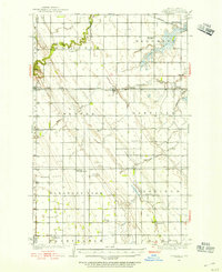
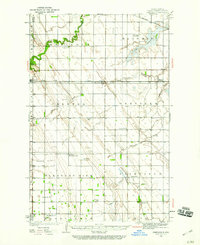
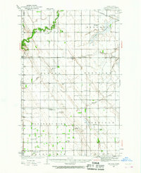
The Turtle River meanders across this prairie landscape in Grand Forks County, providing a winding contrast to the rigid section lines of the Red River Valley. As of this 1934 survey, the area was defined by its intensive rural school system and the dual presence of the Northern Pacific and Great Northern railroads. Small agricultural hubs like Emerado, Arvilla, and Honeyford serve as the primary nodes of activity, while the surrounding townships of Mekinock, Lake Ville, and Pleasant View are dotted with family-named landmarks such as Haugen Sch and Mc Cray Sch.
Find a feature on this map
30 named features on this map. Tap any name to fly to it.
Don’t see what you’re looking for? This feature index may not catch every label — zoom into the map to look around manually.
Map Details
Editions of this 1934 Emerado Map
4 editions found
Other maps of this area

1926 · Ardoch
USGS Topo · 1:62,500

1934 · Grand Forks
USGS Topo · 1:62,500

1936 · Emerado
USGS Topo · 1:62,500

1936 · Larimore
USGS Topo · 1:62,500

1938 · Grand Forks
USGS Topo · 1:62,500

1952 · Grand Forks
USGS Topo · 1:250,000

1952 · Thief River Falls
USGS Topo · 1:250,000

1956 · Thief River Falls
USGS Topo · 1:250,000

1956 · Grand Forks
USGS Topo · 1:250,000

1957 · Thief River Falls
USGS Topo · 1:250,000