
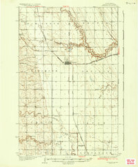
1936 Map of Larimore
USGS Topo · Published 1936About this map
Larimore stands as a primary rail hub in eastern Grand Forks County, positioned at the intersection of State Highway No 18 and the Great Northern railway. This 1930s landscape is characterized by a high density of rural schoolhouses and local landmarks, including Hannah Junc and the settlement of Arvilla. The drainage patterns of the South Branch Turtle River and Little Goose River define the terrain, while smaller watercourses like Hoxie Brook wind through the township of Arvilla. For those researching local families, the map identifies specific community centers like Elm Grove Ch and the United Lutheran Church & Cem. The systematic numbering of institutions, such as School No 87 and School No 118, reveals the structured development of these agricultural townships during the mid-1930s.
Find a feature on this map
38 named features on this map. Tap any name to fly to it.
Don’t see what you’re looking for? This feature index may not catch every label — zoom into the map to look around manually.
Map Details
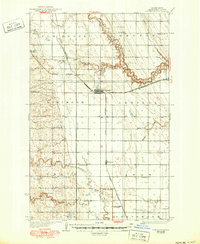
Editions of this 1936 Larimore Map
3 editions found
Other maps of this area

1926 · Ardoch
USGS Topo · 1:62,500

1934 · Emerado
USGS Topo · 1:48,000

1936 · Emerado
USGS Topo · 1:62,500

1939 · Niagara
USGS Topo · 1:62,500

1952 · Grand Forks
USGS Topo · 1:250,000

1952 · Thief River Falls
USGS Topo · 1:250,000

1956 · Thief River Falls
USGS Topo · 1:250,000

1956 · Grand Forks
USGS Topo · 1:250,000

1957 · Thief River Falls
USGS Topo · 1:250,000

1963 · Orr
USGS Topo · 1:24,000