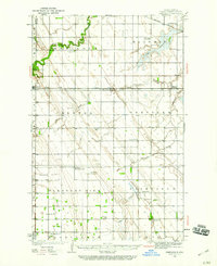
1934 Map of Emerado
USGS Topo · Published 1960About this map
Great Northern and Northern Pacific rail lines dominate this Red River Valley landscape, charting a precise grid across the townships of Blooming, Oakville, and Pleasant View. The prairie terrain is marked by intricate drainage patterns, where the winding Turtle River and the expansive Kelly Slough contrast with the engineered straightness of the section lines.
Find a feature on this map
31 named features on this map. Tap any name to fly to it.
Don’t see what you’re looking for? This feature index may not catch every label — zoom into the map to look around manually.
Map Details
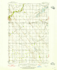
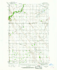
Editions of this 1934 Emerado Map
4 editions found
Other maps of this area

1926 · Ardoch
USGS Topo · 1:62,500

1934 · Emerado
USGS Topo · 1:48,000

1934 · Grand Forks
USGS Topo · 1:62,500

1936 · Emerado
USGS Topo · 1:62,500

1936 · Larimore
USGS Topo · 1:62,500

1938 · Grand Forks
USGS Topo · 1:62,500

1952 · Grand Forks
USGS Topo · 1:250,000

1952 · Thief River Falls
USGS Topo · 1:250,000

1956 · Thief River Falls
USGS Topo · 1:250,000

1956 · Grand Forks
USGS Topo · 1:250,000