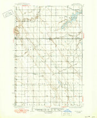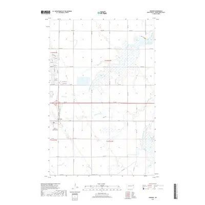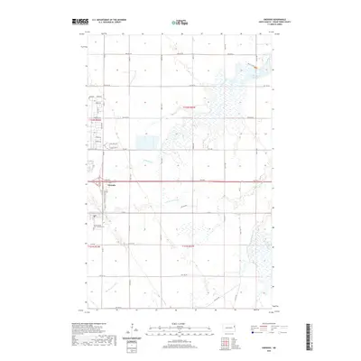
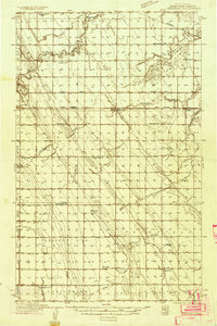
1934 Map of Emerado
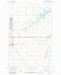
USGS Topo · Published 1955About this map
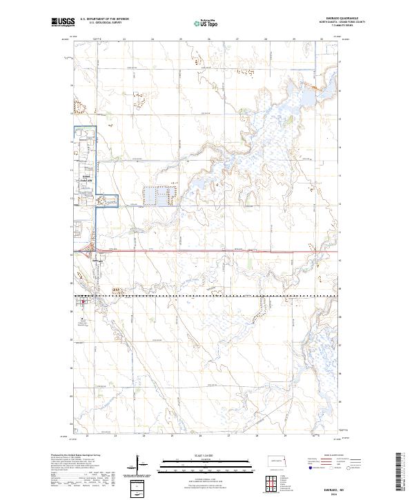
The Great Northern railroad corridor defines the development of this Grand Forks County landscape, connecting the prairie settlements of Arvilla, Emerado, and Ojata. Surveyed in the mid-1930s, the map reveals a highly organized rural society structured around township lines and local education, evidenced by the numerous numbered schools and family-named institutions like Cooper Sch and Gilbert Sch. The drainage of the Red River Valley is clearly visible through the winding course of the Turtle River and the expansive Kelly Slough in the northeast.
Find a feature on this map
36 named features on this map. Tap any name to fly to it.
Don’t see what you’re looking for? This feature index may not catch every label — zoom into the map to look around manually.
Map Details
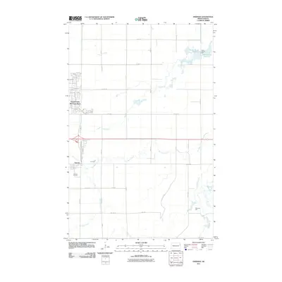
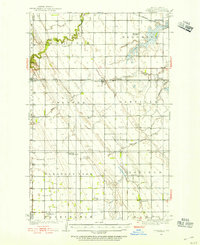
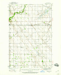
Editions of this 1934 Emerado Map
4 editions found
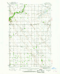
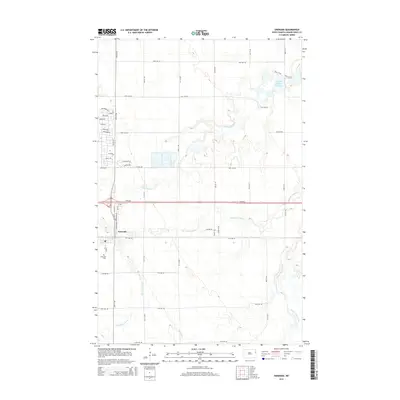
Historical Maps of Emerado Through Time
8 maps found