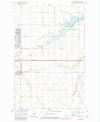
1963 Map of Emerado
USGS Topo · Published 1980About this map
Grand Forks Air Force Base dominates the central landscape of this Red River Valley quadrangle, reflecting the Cold War era's significant military footprint in eastern North Dakota. The base features specialized infrastructure including Twining Sch and Eielson Sch, alongside several houses of worship such as Calvary Ch and Ascension Ch. Just south, the town of Emerado serves as a civilian anchor, bordered by the Northern Pacific and Great Northern rail lines that once defined the region's agricultural economy.
Find a feature on this map
28 named features on this map. Tap any name to fly to it.
Don’t see what you’re looking for? This feature index may not catch every label — zoom into the map to look around manually.
Map Details
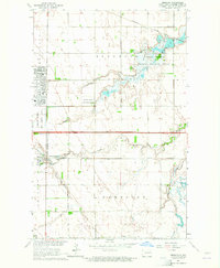
Editions of this 1963 Emerado Map
2 editions found
Other maps of this area

1926 · Ardoch
USGS Topo · 1:62,500

1934 · Emerado
USGS Topo · 1:48,000

1934 · Grand Forks
USGS Topo · 1:62,500

1936 · Emerado
USGS Topo · 1:62,500

1938 · Grand Forks
USGS Topo · 1:62,500

1952 · Grand Forks
USGS Topo · 1:250,000

1952 · Thief River Falls
USGS Topo · 1:250,000

1956 · Thief River Falls
USGS Topo · 1:250,000

1956 · Grand Forks
USGS Topo · 1:250,000

1957 · Thief River Falls
USGS Topo · 1:250,000