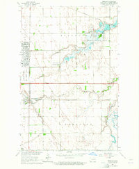
1963 Map of Emerado
USGS Topo · Published 1964About this map
Kellys Slough National Wildlife Refuge dominates the northeastern landscape of this mid-century survey, showcasing the intricate wetland network and the Kellys Slough itself. Adjacent to this protected area, the Grand Forks Air Force Base represents a significant military presence in the Red River Valley, with its extensive infrastructure including specialized facilities like the Twining Sch and Eielson Sch.
Find a feature on this map
22 named features on this map. Tap any name to fly to it.
Don’t see what you’re looking for? This feature index may not catch every label — zoom into the map to look around manually.
Map Details
Editions of this 1963 Emerado Map
2 editions found
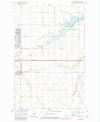
Other maps of this area

1926 · Ardoch
USGS Topo · 1:62,500

1934 · Emerado
USGS Topo · 1:48,000

1934 · Grand Forks
USGS Topo · 1:62,500

1936 · Emerado
USGS Topo · 1:62,500

1938 · Grand Forks
USGS Topo · 1:62,500

1952 · Grand Forks
USGS Topo · 1:250,000

1952 · Thief River Falls
USGS Topo · 1:250,000

1956 · Thief River Falls
USGS Topo · 1:250,000

1956 · Grand Forks
USGS Topo · 1:250,000

1957 · Thief River Falls
USGS Topo · 1:250,000