Old Maps of Powell, North Dakota for Hiking & Exploration
Hike through history with 12 historic maps of Powell. Explore old trails, ghost towns, and forgotten backroads — perfect for outdoor adventurers and local explorers.
- Rediscover forgotten places: Map out old mining camps, roads, and footpaths that no longer exist on modern maps.
- Layer with modern tools: Combine with LiDAR or satellite views to plan hikes through historical terrain.
- Made for exploration: Popular among hikers, overlanders, and local history lovers.
Use these maps to find adventure and explore the hidden past of Powell.
Powell, ND maps
(12)- 1934 Map of Grand Forks
 1934 Grand Forks1934 Print · USGSThe Red River Valley in the mid-1930s shows a landscape of growing river towns and a dense network of rural school districts. Genealogists can trace family connections to the UNIVERSITY OF NORTH DAKOTA, West Walle Ch, or early outposts like Merrifield and Schurmeier.2 unique versions available
 - 1938 Map of Grand Forks
 1938 Grand Forks1938 Print · USGSGrand Forks and East Grand Forks appear as thriving rail hubs in the mid-1930s at the confluence of the Red and Red Lake Rivers. Researchers can trace rural school locations from School No 25 to School No 6 and identify landmarks like the Landing Field and Brenna Ch.3 unique versions available
 - 1952 Map of Grand Forks, 1967 Print
 1952 Grand Forks1967 Print · USGSThe Red River Valley in the early fifties is shown here at the height of its rail-and-river agricultural economy. Researchers can locate small-town landmarks like the Pleasant View School, the Immanuel Lutheran Church, and trace the path of the Soo Line Railroad.3 unique versions available
 - 1956 Map of Grand Forks
 1956 Grand Forks1956 Print · USGSThe Red River Valley in the mid-fifties is captured here as a thriving corridor of grain elevators and rail-linked towns along the North Dakota and Minnesota border. Researchers can trace historic church sites like Immanuel Lutheran Church, vanished rail stops at Tilde Junction, and the boundaries of the White Earth Indian Reservation.
 - 1963 Map of Kelly, 1964 Print
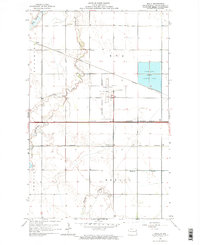 1963 Kelly1964 Print · USGSGrand Forks was expanding westward during the early sixties as aviation and rail lines shaped the prairie. Genealogists can locate old rural schoolhouses like School No 30 and small rail-side stops including Kelly and Powell.
 - 1966 Map of Grand Forks
 1966 Grand Forks1966 Print · USGSThe Red River Valley in the mid-sixties shows a landscape shaped by rail-line commerce and complex water management. Genealogists and historians can trace rail-side towns like Emerado and Hunter or locate rural landmarks like the Pleasant View Church.
 - 1985 Map of Grand Forks
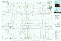 1985 Grand Forks1985 Print · USGSThe Red River Valley in the mid-1980s was a landscape of deep-rooted agriculture and rising military significance. Genealogists and researchers can trace the rail-tied development of towns like Larimore and Northwood alongside major landmarks like Grand Forks Air Force Base and Turtle River State Park.2 unique versions available
 - 2011 Map of Kelly, 2011 Print
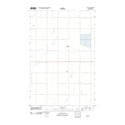 2011 Kelly2011 Print · USGSGrand Forks County at the start of the 2010s shows a landscape where aviation and agriculture meet on the open prairie. Genealogists and local historians can trace the vicinity of Kelly and Powell or follow the paths of Salt Water Coulee and English Coulee.
 - 2014 Map of Kelly, 2014 Print
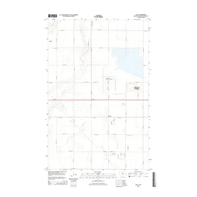 2014 Kelly2014 Print · USGSGrand Forks County is shown here during a period of transition as the city expands westward toward the prairie settlements of Kelly and Powell. Researchers can trace the layout of the Grand Forks International Airport alongside natural landmarks like Kelly Slough and English Coulee.
 - 2017 Map of Kelly, 2017 Print
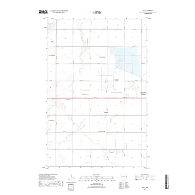 2017 Kelly2017 Print · USGSGrand Forks County at the start of the twenty-first century shows a landscape where aviation and agriculture meet. Trace the rural crossroads of Kelly and Powell or the drainage of Kelly Slough and English Coulee near the Grand Forks International Airport.
 - 2020 Map of Kelly, 2020 Print
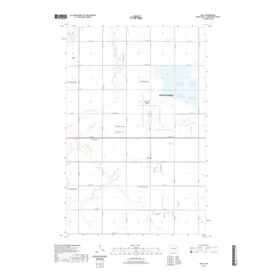 2020 Kelly2020 Print · USGSGrand Forks and its western agricultural outskirts are captured here during a period of steady infrastructure expansion. Researchers can trace the development of the Grand Forks International Airport and the hydrological paths of Kelly Slough and English Coulee.
 - 2024 Map of Kelly, 2024 Print
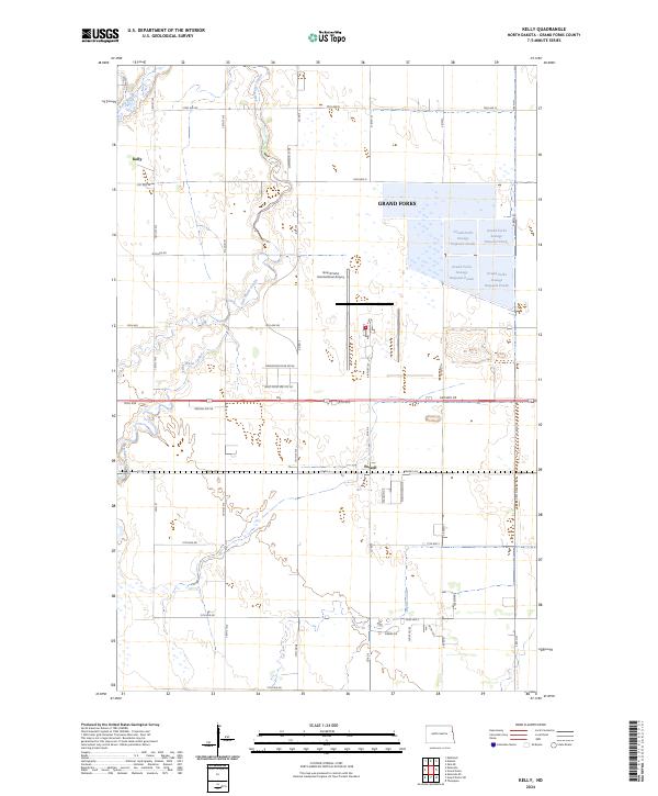 2024 Kelly2024 Print · USGSGrand Forks County in the 2020s is defined by its vital wildlife corridors and critical infrastructure. Trace the modern landscape near Kelly and Powell, including the extensive Kellys Slough National Wildlife Refuge and Grand Forks International Airport.
End of results
Showing maps 1-12 of 12
Top cities near Powell
- Grand Forks historical maps
- East Grand Forks historical maps
- Mekinock historical maps
- Thompson historical maps
- Emerado historical maps
- Manvel historical maps
Frequently asked questions
- What are the different types of historical maps available for Powell?
- What is the oldest map of Powell?
- Where can I purchase historical maps of Powell for my home or office?
- Where can I download high-res historical maps of Powell?
- Are there historical topographic maps available for Powell?
- Is there historical aerial imagery available for Powell?
- Where are historical maps of Powell sourced from?