Old Maps of Havelock, North Dakota for Hiking & Exploration
Hike through history with 10 historic maps of Havelock. Explore old trails, ghost towns, and forgotten backroads — perfect for outdoor adventurers and local explorers.
- Rediscover forgotten places: Map out old mining camps, roads, and footpaths that no longer exist on modern maps.
- Layer with modern tools: Combine with LiDAR or satellite views to plan hikes through historical terrain.
- Made for exploration: Popular among hikers, overlanders, and local history lovers.
Use these maps to find adventure and explore the hidden past of Havelock.
Havelock, ND maps
(10)- 1953 Map of Dickinson, 1968 Print
 1953 Dickinson1968 Print · USGSWestern North Dakota in the fifties remains a landscape of rail-linked prairie towns and rugged badlands. Trace the local impact of the Northern Pacific railroad through Dickinson or locate early rural landmarks like Rainy Butte Church and Boys Ranch.2 unique versions available
 - 1957 Map of Dickinson
 1957 Dickinson1957 Print · USGSSouthwestern North Dakota in the mid-fifties is a landscape of coal mining and tight-knit rural school districts. Genealogists can trace family footprints through numerous country schools like Fisher School and parish churches like St Stephens.
 - 1973 Map of Havelock, 1977 Print
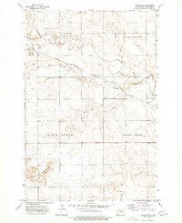 1973 Havelock1977 Print · USGSHavelock and the surrounding Hettinger County prairie are shown here in the early 1970s as the rail-and-river economy shaped the land. You can trace the path of the CHICAGO MILWAUKEE ST PAUL AND PACIFIC railroad as it winds past Black Butte and the Cannonball River.
 - 1980 Map of Mott, 1981 Print
 1980 Mott1981 Print · USGSThe North Dakota plains around the turn of the 1980s reveal a landscape of river-valley farming and critical rail connections. Researchers can trace the path of the Milwaukee Road through Bucyrus or locate landmarks like East Rainy Butte and Tepee Buttes.
 - 2011 Map of Havelock, 2011 Print
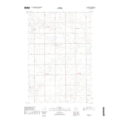
 2011 Havelock2011 Print · USGSCovers Havelock, including Hettinger County, United States, and other nearby areas
 - 2014 Map of Havelock, 2014 Print
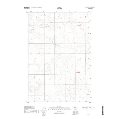
 2014 Havelock2014 Print · USGSCovers Havelock, including Hettinger County, United States, and other nearby areas
 - 2018 Map of Havelock, 2018 Print
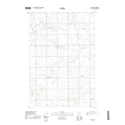
 2018 Havelock2018 Print · USGSCovers Havelock, including Hettinger County, United States, and other nearby areas
 - 2020 Map of Havelock, 2020 Print
 2020 Havelock2020 Print · USGSCovers Havelock, including Hettinger County, United States, and other nearby areas
 - 2023 Map of Havelock, 2023 Print
 2023 Havelock2023 Print · USGSCovers Havelock, including Hettinger County, United States, and other nearby areas
 - 2024 Map of Havelock, 2024 Print
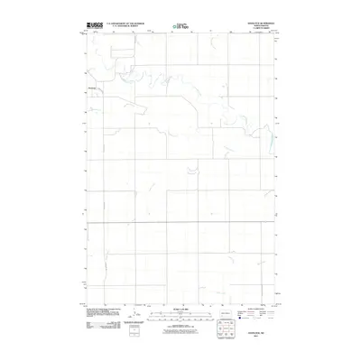
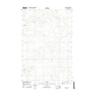
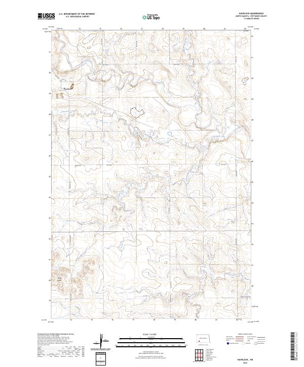 2024 Havelock2024 Print · USGSThe northern Hettinger County prairie is mapped here in its contemporary state, centered on the historic settlement of Havelock. Researchers can trace the winding course of the Cannonball River or locate the distinctive landforms of the Tepee Buttes.
End of results
Showing maps 1-10 of 10
Top cities near Havelock
Frequently asked questions
- What are the different types of historical maps available for Havelock?
- What is the oldest map of Havelock?
- Where can I purchase historical maps of Havelock for my home or office?
- Where can I download high-res historical maps of Havelock?
- Are there historical topographic maps available for Havelock?
- Is there historical aerial imagery available for Havelock?
- Where are historical maps of Havelock sourced from?