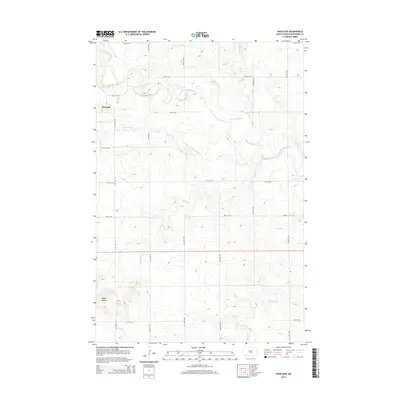
2014 Map of Havelock
USGS Topo · Published 2014About this map
Havelock sits at the western edge of this North Dakota landscape, where the Cannonball River winds through a terrain defined by significant elevation changes and seasonal drainages. The area is characterized by a network of creek systems including Coal Bank Cr, Squaw Cr, and Hay Slough Cr, all contributing to the larger watershed of the Missouri River basin. To the south, the Tepee Buttes rise as a prominent topographic landmark, overlooking the drainage of Tepee Cr. The map reveals a highly structured grid of section roads, such as 111th Ave SW and 65th St SW, which facilitate movement through the agricultural lands of Hettinger County. This 2014 survey documents the enduring spatial organization of this prairie region, showing the relationship between small-town settlement and the natural watercourses that shaped the local geography.
Find a feature on this map
21 named features on this map. Tap any name to fly to it.
Don’t see what you’re looking for? This feature index may not catch every label — zoom into the map to look around manually.
Map Details
Editions of this 2014 Havelock Map
This is the sole edition of this map. No revisions or reprints were ever made.
Other maps of this area

1953 · Dickinson
USGS Topo · 1:250,000

1957 · Dickinson
USGS Topo · 1:250,000

1966 · Regent
USGS Topo · 1:24,000

1973 · Liens Dams
USGS Topo · 1:24,000

1973 · Jung Lake
USGS Topo · 1:24,000

1973 · New England
USGS Topo · 1:24,000

1973 · Lefor SW
USGS Topo · 1:24,000

1973 · Stony Butte
USGS Topo · 1:24,000

1973 · Havelock
USGS Topo · 1:24,000

1973 · Enterprise School
USGS Topo · 1:24,000