2000s (21st Century) Maps of Dawson, North Dakota
Explore 20 historic maps of Dawson from the 2000s (21st Century). These maps offer a rare glimpse into what life looked like during the 2000s — showing old roads, neighborhoods, homes, and landmarks that have changed or disappeared over time.
Whether you're researching your family's past, planning a metal detecting trip, or studying how Dawson's landscape evolved across the 2000s, these high-resolution maps are a powerful tool for exploring the history of this region.
- Focus on a specific era: All maps on this page are from the 2000s, giving you a focused view of this time period.
- See what’s changed: Compare century-old streets, trails, and buildings to today's modern landscape using overlays and satellite layers.
- Research with precision: Use these maps for genealogy, historical research, land use analysis, or educational projects.
- View, download, or print: Maps are fully viewable online in high resolution, and can be downloaded or printed for your own records.
Start exploring Dawson's history through authentic maps from the 2000s. This is your window into the past.
Dawson, ND maps
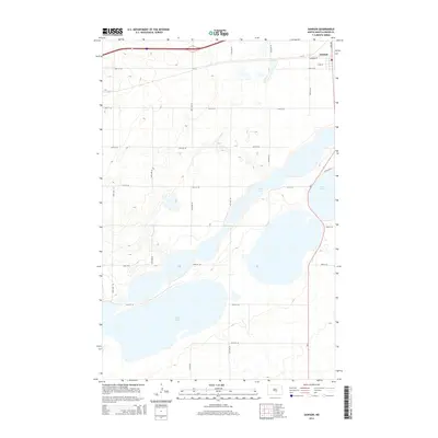
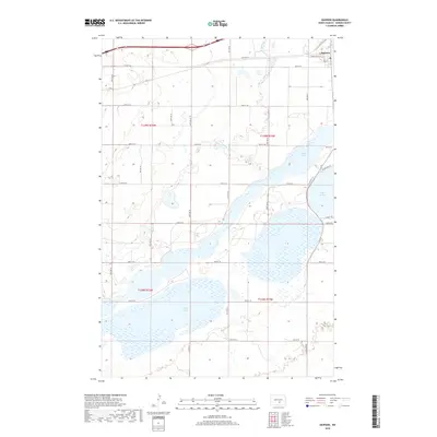
(20)- 2011 Map of Dawson, 2011 Print
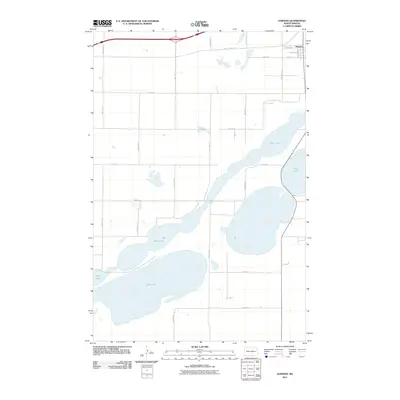 2011 Dawson2011 Print · USGSCovers Dawson, including Kidder County, United States, and other nearby areas
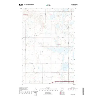
 - 2011 Map of Steele NE, 2011 Print
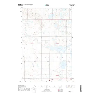
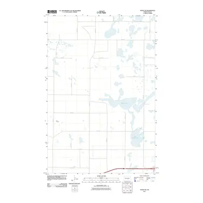 2011 Steele NE2011 Print · USGSCovers Dawson, including Kidder County, United States, and other nearby areas
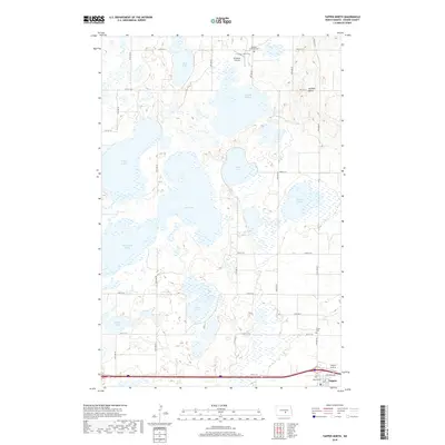
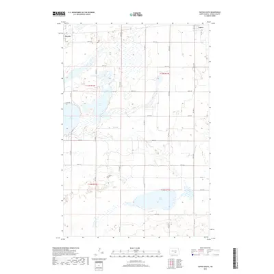
 - 2011 Map of Tappen North, 2011 Print
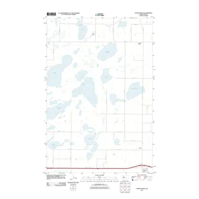 2011 Tappen North2011 Print · USGSCovers Dawson, including Tappen, Kidder County, and other nearby areas
 - 2011 Map of Tappen South, 2011 Print
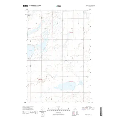
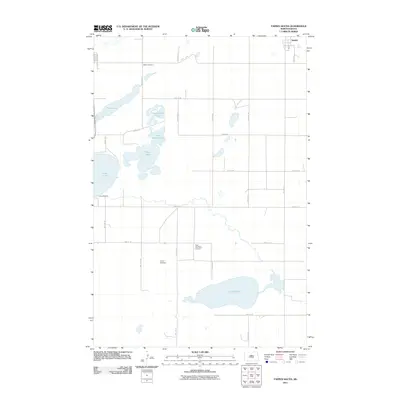 2011 Tappen South2011 Print · USGSCovers Dawson, including Tappen, Kidder County, and other nearby areas
 - 2014 Map of Dawson, 2014 Print
 2014 Dawson2014 Print · USGSCovers Dawson, including Kidder County, United States, and other nearby areas
 - 2014 Map of Steele NE, 2014 Print
 2014 Steele NE2014 Print · USGSCovers Dawson, including Kidder County, United States, and other nearby areas
 - 2014 Map of Tappen South, 2014 Print
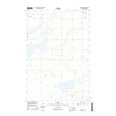 2014 Tappen South2014 Print · USGSCovers Dawson, including Tappen, Kidder County, and other nearby areas
 - 2014 Map of Tappen North, 2014 Print
 2014 Tappen North2014 Print · USGSCovers Dawson, including Tappen, Kidder County, and other nearby areas
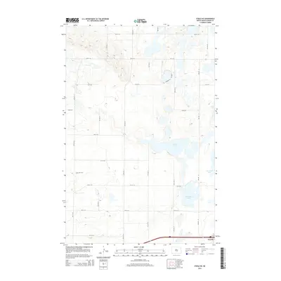
 - 2018 Map of Tappen North, 2018 Print
 2018 Tappen North2018 Print · USGSCovers Dawson, including Tappen, Kidder County, and other nearby areas
 - 2018 Map of Tappen South, 2018 Print
 2018 Tappen South2018 Print · USGSCovers Dawson, including Tappen, Kidder County, and other nearby areas
 - 2018 Map of Steele NE, 2018 Print
 2018 Steele NE2018 Print · USGSCovers Dawson, including Kidder County, United States, and other nearby areas
 - 2018 Map of Dawson, 2018 Print
 2018 Dawson2018 Print · USGSCovers Dawson, including Kidder County, United States, and other nearby areas
 - 2020 Map of Steele NE, 2020 Print
 2020 Steele NE2020 Print · USGSCovers Dawson, including Kidder County, United States, and other nearby areas
 - 2020 Map of Dawson, 2020 Print
 2020 Dawson2020 Print · USGSCovers Dawson, including Kidder County, United States, and other nearby areas
 - 2020 Map of Tappen North, 2020 Print
 2020 Tappen North2020 Print · USGSCovers Dawson, including Tappen, Kidder County, and other nearby areas
 - 2020 Map of Tappen South, 2020 Print
 2020 Tappen South2020 Print · USGSCovers Dawson, including Tappen, Kidder County, and other nearby areas
 - 2024 Map of Tappen North, 2024 Print
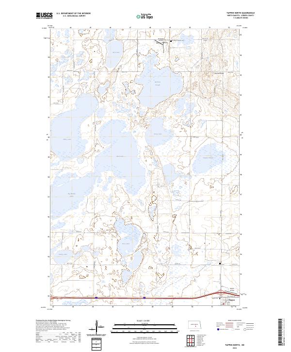 2024 Tappen North2024 Print · USGSKidder County's prairie pothole region comes into focus during this mid-2020s survey, showing the intricate wetland systems north of Tappen. Researchers can trace rural cemetery sites like Buckeye Lutheran Cem and family-named landmarks like McPhail Butte.
 - 2024 Map of Dawson, 2024 Print
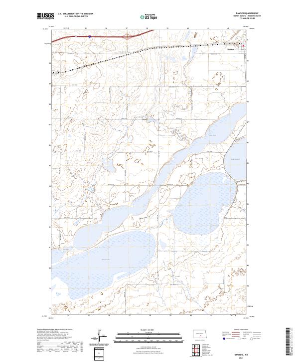 2024 Dawson2024 Print · USGSThe community of Dawson and the expansive prairie wetlands of Kidder County are detailed in this 2024 study. Researchers can trace the protected boundaries of the Kidder County Waterfowl Production Area and shoreline details of Lake Isabel and Alkali Lake.
 - 2024 Map of Tappen South, 2024 Print
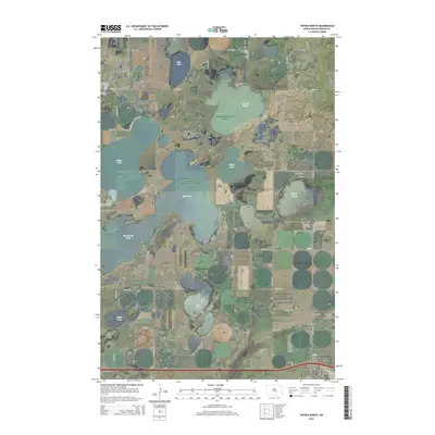
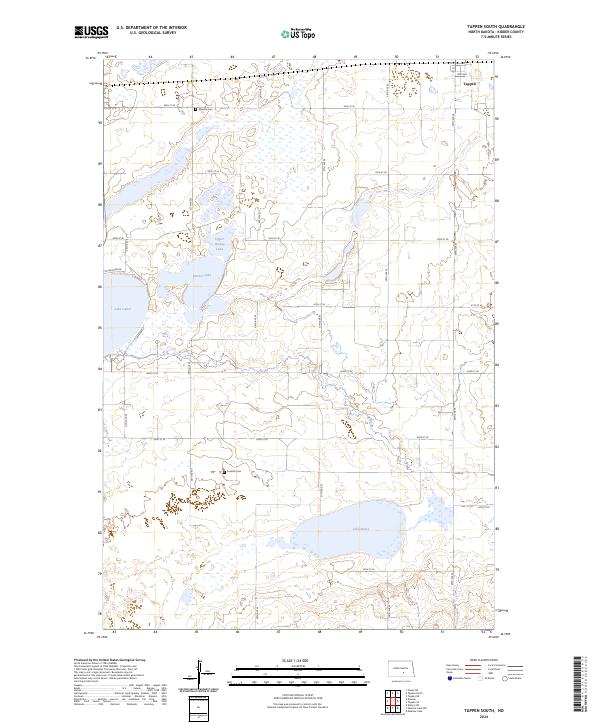 2024 Tappen South2024 Print · USGSKidder County's prairie wetland complex is shown here in the 2020s, highlighting the expansive Slade National Wildlife Refuge. Genealogists and historians can locate the Dawson Cem and Koestler Cem set amidst the glacial waters of Lake Henry and Lake Isabel.
 - 2024 Map of Steele NE, 2024 Print
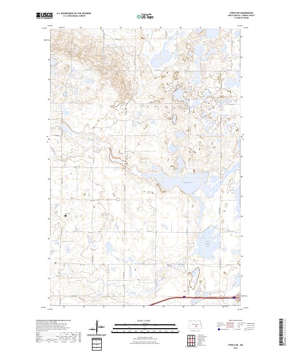 2024 Steele NE2024 Print · USGSKidder County in the 2020s remains a landscape of critical wetlands and prairie homestead history. Genealogists and historians can locate the Allen Cem and trace the expansive boundaries of the Kidder County Waterfowl Production Area near Buffalo Lake.
End of results
Showing maps 1-20 of 20
Top cities near Dawson
Frequently asked questions
- What are the different types of historical maps available for Dawson?
- What is the oldest map of Dawson?
- Where can I purchase historical maps of Dawson for my home or office?
- Where can I download high-res historical maps of Dawson?
- Are there historical topographic maps available for Dawson?
- Is there historical aerial imagery available for Dawson?
- Where are historical maps of Dawson sourced from?