Old Maps of Tappen, North Dakota
Explore 28 old maps of Tappen, spanning from 1952 to today. These high-resolution historic maps reveal how streets, neighborhoods, landmarks, and natural features evolved over time — perfect for genealogy, metal detecting, research, and local history exploration.
What you can do with these maps:
- See how Tappen changed over time: Compare historical maps to modern-day views to trace roads, homesites, rail lines & more.
- View detailed metadata: Each map includes creators, publishers, year, scale, and archive source.
- Overlay maps with satellite & LiDAR: Visualize the past alongside modern tools to explore terrain & human change.
- Trusted historical sources: Maps sourced from the USGS, Library of Congress, and other archives.
- Access maps your way: View online, download high-res files, or order prints for personal or research use.
Start exploring old maps of Tappen to uncover forgotten places, hidden landmarks, and the deep history beneath your feet.
Tappen, ND maps
(28)- 1952 Map of Tappen South, 1954 Print
 1952 Tappen South1954 Print · USGSIn the early fifties, this Kidder County landscape was defined by the Northern Pacific rail corridor and a vast network of wetlands. Researchers can trace the layout of early rural life through landmarks like Camp Grassick, Sibley Cem, and the old School No 28.
 - 1952 Map of Tappen SE, 1954 Print
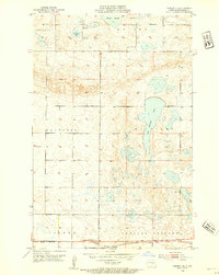
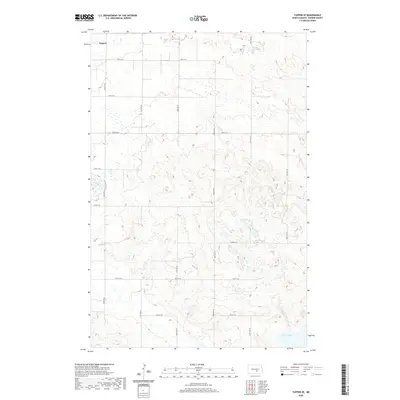
 1952 Tappen SE1954 Print · USGSMid-century Kidder County comes into focus in this detailed study of the prairie wetlands and rail-fed townships east of the state capital. Genealogists and historians can trace local school districts such as School No 1, the Northern Pacific rail line, and the shores of Lake George.
 - 1952 Map of Tappen NE, 1954 Print
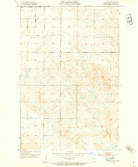
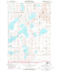
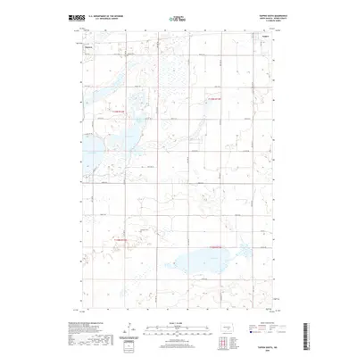
 1952 Tappen NE1954 Print · USGSKidder County's prairie pothole region comes into focus during the early fifties as the railroad and rural school districts defined local life. Trace the path of the Northern Pacific through Tappen or locate School No 1 near Sweetwater Lake.2 unique versions available
 - 1952 Map of Tappen North, 1954 Print
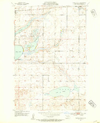
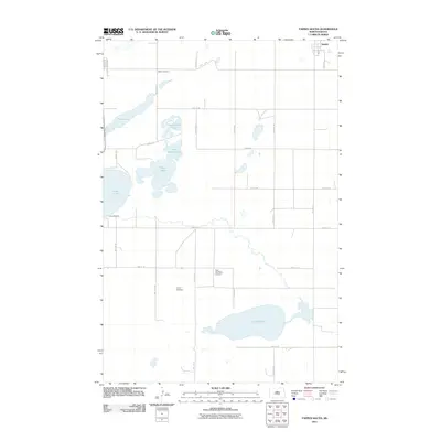
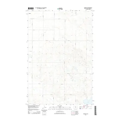
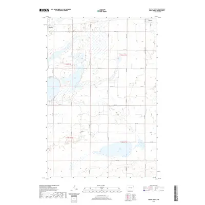
 1952 Tappen North1954 Print · USGSKidder County's prairie pothole region is detailed here in the early fifties, showing a rural landscape organized by township lines and small rail-side settlements. Researchers can locate family landmarks like the Norwegian Ch, Fisher Cem, and McPhail Butte Historic Monument.
 - 1953 Map of Jamestown
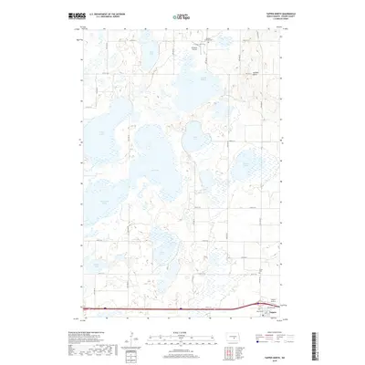
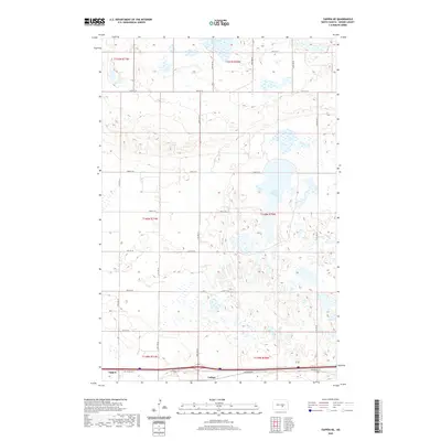
 1953 Jamestown1953 Print · USGSSoutheastern North Dakota was a thriving rail and agricultural corridor in the early fifties, anchored by the James River. Researchers can trace the footprints of institutional landmarks like the North Dakota State Hospital and historic sites such as Whitestone Hill Battlefield Park.3 unique versions available
 - 1956 Map of Jamestown
 1956 Jamestown1956 Print · USGSThe James River valley and the vast alkali lake country of south-central North Dakota are captured here in the mid-fifties. Genealogists can trace family farms across several counties, locating small rail stops like Medberry and monuments like Whitestone Hill Battlefield Park.
 - 1975 Map of Tappen North, 1978 Print
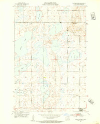
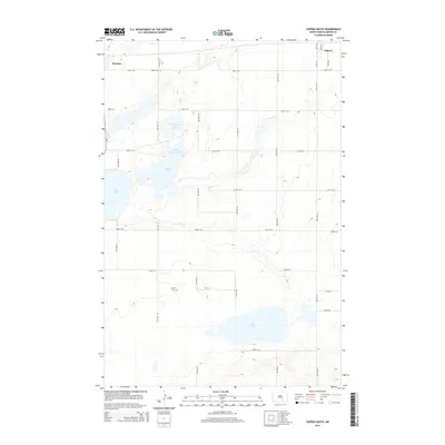
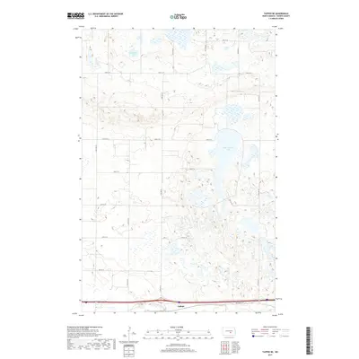
 1975 Tappen North1978 Print · USGSKidder County's prairie pothole region is captured here in the mid-seventies, showing a landscape of expansive lakes and rural townships. Genealogists and local historians can locate Fisher Cem, Norwegian Ch, and early school sites like School No 2.
 - 1985 Map of Steele, 1994 Print
 1985 Steele1994 Print · USGSCentral North Dakota’s prairie pothole region is showcased here in the mid-1980s, revealing a landscape of vital wetlands and rail-dependent towns. Researchers can trace family ties and land use near Steele, Napoleon, and the many waterfowl production areas like Slade National Wildlife Refuge.
 - 2011 Map of Tappen SE, 2011 Print
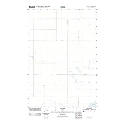 2011 Tappen SE2011 Print · USGSCovers Tappen, including Kidder County, United States, and other nearby areas
 - 2011 Map of Tappen NE, 2011 Print
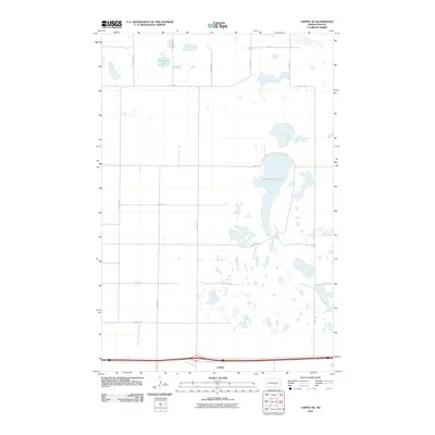 2011 Tappen NE2011 Print · USGSCovers Tappen, including Kidder County, United States, and other nearby areas
 - 2011 Map of Tappen North, 2011 Print
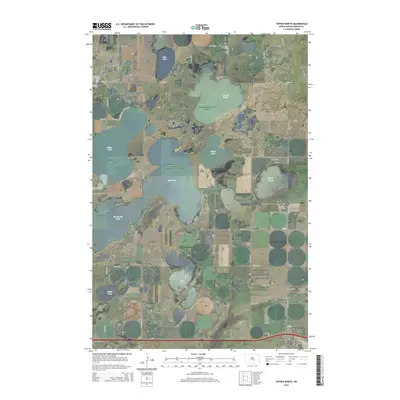
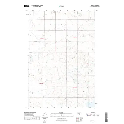
 2011 Tappen North2011 Print · USGSCovers Tappen, including Dawson, Kidder County, and other nearby areas
 - 2011 Map of Tappen South, 2011 Print
 2011 Tappen South2011 Print · USGSCovers Tappen, including Dawson, Kidder County, and other nearby areas
 - 2014 Map of Tappen NE, 2014 Print
 2014 Tappen NE2014 Print · USGSCovers Tappen, including Kidder County, United States, and other nearby areas
 - 2014 Map of Tappen South, 2014 Print
 2014 Tappen South2014 Print · USGSCovers Tappen, including Dawson, Kidder County, and other nearby areas
 - 2014 Map of Tappen North, 2014 Print
 2014 Tappen North2014 Print · USGSCovers Tappen, including Dawson, Kidder County, and other nearby areas
 - 2014 Map of Tappen SE, 2014 Print
 2014 Tappen SE2014 Print · USGSCovers Tappen, including Kidder County, United States, and other nearby areas
 - 2017 Map of Tappen NE, 2017 Print
 2017 Tappen NE2017 Print · USGSCovers Tappen, including Kidder County, United States, and other nearby areas
 - 2018 Map of Tappen SE, 2018 Print
 2018 Tappen SE2018 Print · USGSCovers Tappen, including Kidder County, United States, and other nearby areas
 - 2018 Map of Tappen North, 2018 Print
 2018 Tappen North2018 Print · USGSCovers Tappen, including Dawson, Kidder County, and other nearby areas
 - 2018 Map of Tappen South, 2018 Print
 2018 Tappen South2018 Print · USGSCovers Tappen, including Dawson, Kidder County, and other nearby areas
 - 2020 Map of Tappen NE, 2020 Print
 2020 Tappen NE2020 Print · USGSCovers Tappen, including Kidder County, United States, and other nearby areas
 - 2020 Map of Tappen SE, 2020 Print
 2020 Tappen SE2020 Print · USGSCovers Tappen, including Kidder County, United States, and other nearby areas
 - 2020 Map of Tappen North, 2020 Print
 2020 Tappen North2020 Print · USGSCovers Tappen, including Dawson, Kidder County, and other nearby areas
 - 2020 Map of Tappen South, 2020 Print
 2020 Tappen South2020 Print · USGSCovers Tappen, including Dawson, Kidder County, and other nearby areas
 - 2024 Map of Tappen NE, 2024 Print
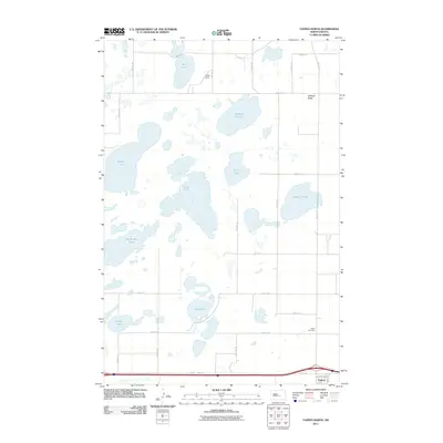
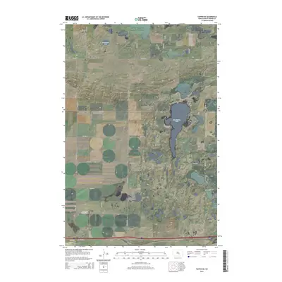
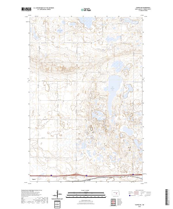 2024 Tappen NE2024 Print · USGSKidder County's prairie pothole region is captured here in the 2020s, showing a landscape defined by conservation and agriculture. Researchers can trace the layout of Tappen and Ladoga or locate protected habitats like the Kidder County Waterfowl Production Area.
Showing maps 1-25 of 28
Top cities near Tappen
Frequently asked questions
- What are the different types of historical maps available for Tappen?
- What is the oldest map of Tappen?
- Where can I purchase historical maps of Tappen for my home or office?
- Where can I download high-res historical maps of Tappen?
- Are there historical topographic maps available for Tappen?
- Is there historical aerial imagery available for Tappen?
- Where are historical maps of Tappen sourced from?