
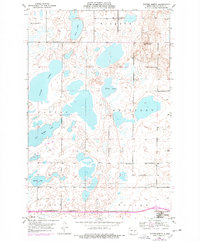
1952 Map of Tappen South
USGS Topo · Published 1954About this map
The Sibley Lake National Wildlife Refuge dominates this Kidder County landscape, preserving a network of alkali lakes and wetlands characteristic of the Prairie Pothole Region in the early 1950s. The northern edge of the map follows the corridor of the Northern Pacific railroad, which served the small prairie outposts of Dawson and Tappen. These settlements acted as vital hubs for the surrounding agricultural community, where local landmarks like School No 28 provided essential services to rural families.
Find a feature on this map
18 named features on this map. Tap any name to fly to it.
Don’t see what you’re looking for? This feature index may not catch every label — zoom into the map to look around manually.
Map Details
Editions of this 1952 Tappen South Map
This is the sole edition of this map. No revisions or reprints were ever made.
Other maps of this area

1952 · Tappen SE
USGS Topo · 1:24,000

1952 · Tappen NE
USGS Topo · 1:24,000

1952 · Dawson
USGS Topo · 1:24,000

1952 · Tappen North
USGS Topo · 1:24,000

1952 · Steele NE
USGS Topo · 1:24,000

1953 · Jamestown
USGS Topo · 1:250,000

1956 · Jamestown
USGS Topo · 1:250,000
1975 · Tappen North
USGS Topo · 1:24,000

1979 · Kintyre NE
USGS Topo · 1:24,000

1983 · Alkaline Lake
USGS Topo · 1:24,000