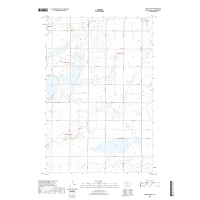
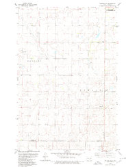
2018 Map of Tappen South
USGS Topo · Published 2018About this map
Dawson and Tappen anchor the northern edge of this Kidder County landscape, where the prairie is defined by a dense network of glacial water bodies and wetlands. The central terrain is dominated by Harker Lake, Upper Harker Lake, and Headquarters Lake, while the expansive Lake Isabel and Lake Henry lie further south. This 2018 survey reveals a rural infrastructure built on a strict section-line grid, with local history preserved at Sibley Cem and Koestler Cem. The map illustrates the characteristic North Dakota prairie pothole region, where roads like 38th ST Se and 35th Ave Se navigate between numerous unnamed sloughs and marshes, documenting a landscape where agricultural life must balance with the natural ebb and flow of the plains' water table.
Find a feature on this map
31 named features on this map. Tap any name to fly to it.
Don’t see what you’re looking for? This feature index may not catch every label — zoom into the map to look around manually.
Map Details
Editions of this 2018 Tappen South Map
This is the sole edition of this map. No revisions or reprints were ever made.
Other maps of this area
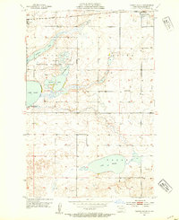
1952 · Tappen South
USGS Topo · 1:24,000
1952 · Tappen SE
USGS Topo · 1:24,000
1952 · Tappen NE
USGS Topo · 1:24,000
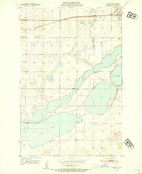
1952 · Dawson
USGS Topo · 1:24,000
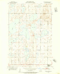
1952 · Tappen North
USGS Topo · 1:24,000
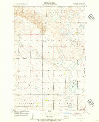
1952 · Steele NE
USGS Topo · 1:24,000

1953 · Jamestown
USGS Topo · 1:250,000

1956 · Jamestown
USGS Topo · 1:250,000
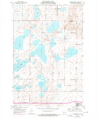
1975 · Tappen North
USGS Topo · 1:24,000
1979 · Kintyre NE
USGS Topo · 1:24,000