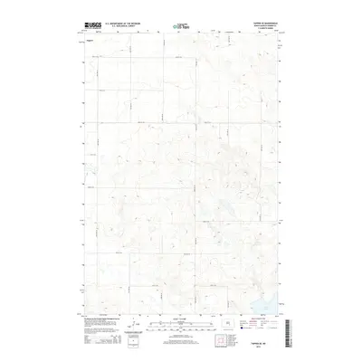
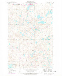
2014 Map of Tappen SE
USGS Topo · Published 2014About this map
Tappen sits at the northern edge of this prairie landscape, serving as a gateway to the pothole region of Kidder County. The terrain is defined by complex glacial topography, with numerous depressions and rises that create a fragmented drainage pattern. In the southeastern corner, the large expanse of Lake George provides a significant hydrological anchor for the area, surrounded by the undulating elevations of the North Dakota plains.
Find a feature on this map
16 named features on this map. Tap any name to fly to it.
Don’t see what you’re looking for? This feature index may not catch every label — zoom into the map to look around manually.
Map Details
Editions of this 2014 Tappen SE Map
This is the sole edition of this map. No revisions or reprints were ever made.
Other maps of this area
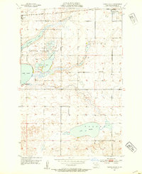
1952 · Tappen South
USGS Topo · 1:24,000
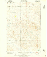
1952 · Tappen SE
USGS Topo · 1:24,000
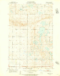
1952 · Tappen NE
USGS Topo · 1:24,000
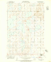
1952 · Tappen North
USGS Topo · 1:24,000

1953 · Jamestown
USGS Topo · 1:250,000
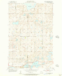
1955 · Crystal Springs
USGS Topo · 1:24,000
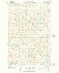
1955 · Medina SW
USGS Topo · 1:24,000

1956 · Jamestown
USGS Topo · 1:250,000
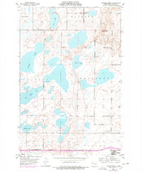
1975 · Tappen North
USGS Topo · 1:24,000
1975 · Medina SW
USGS Topo · 1:24,000