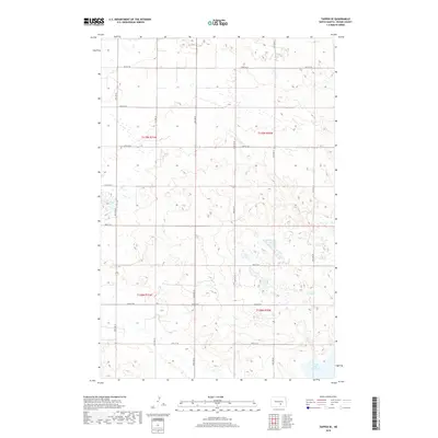
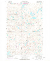
2018 Map of Tappen SE
USGS Topo · Published 2018About this map
Lake George occupies the southeastern corner of this landscape, anchoring a terrain defined by glacial depressions and a sparse, organized grid of section-line roads. This portion of Kidder County is characterized by a high density of small wetlands and ephemeral basins typical of the Prairie Pothole Region, reflecting a landscape where water and agriculture are intricately linked. The rectilinear road network, including corridors such as 40th Ave SE and 43rd St SE, segments the land into the traditional townships of T139n R70w and T138n R70w. This survey provides a precise view of the rural infrastructure and natural drainage patterns in central North Dakota during the early 21st century.
Find a feature on this map
19 named features on this map. Tap any name to fly to it.
Don’t see what you’re looking for? This feature index may not catch every label — zoom into the map to look around manually.
Map Details
Editions of this 2018 Tappen SE Map
This is the sole edition of this map. No revisions or reprints were ever made.
Other maps of this area
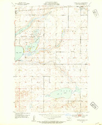
1952 · Tappen South
USGS Topo · 1:24,000
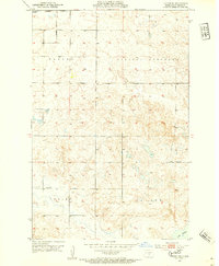
1952 · Tappen SE
USGS Topo · 1:24,000
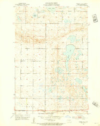
1952 · Tappen NE
USGS Topo · 1:24,000
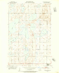
1952 · Tappen North
USGS Topo · 1:24,000

1953 · Jamestown
USGS Topo · 1:250,000
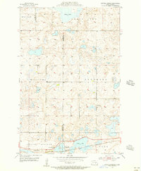
1955 · Crystal Springs
USGS Topo · 1:24,000
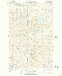
1955 · Medina SW
USGS Topo · 1:24,000

1956 · Jamestown
USGS Topo · 1:250,000
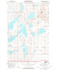
1975 · Tappen North
USGS Topo · 1:24,000
1975 · Medina SW
USGS Topo · 1:24,000