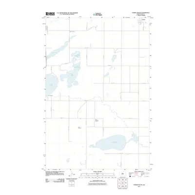
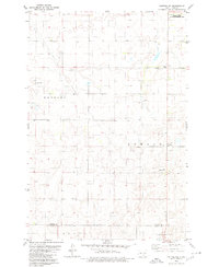
2011 Map of Tappen South
USGS Topo · Published 2011About this map
Lake Isabel and Alkali Lake anchor the northwestern corner of this landscape, part of a dense network of water bodies that characterize the prairie pothole region south of Tappen. The terrain is marked by a grid of rural section roads, including 35th Ave SE and 40th St SE, which connect isolated landmarks and small settlements. Local history and genealogy interest is concentrated at Sibley Cemetery and Liberty Cemetery, providing fixed points of reference for researchers tracing family roots in Kidder County.
Find a feature on this map
28 named features on this map. Tap any name to fly to it.
Don’t see what you’re looking for? This feature index may not catch every label — zoom into the map to look around manually.
Map Details
Editions of this 2011 Tappen South Map
This is the sole edition of this map. No revisions or reprints were ever made.
Other maps of this area
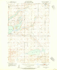
1952 · Tappen South
USGS Topo · 1:24,000
1952 · Tappen SE
USGS Topo · 1:24,000
1952 · Tappen NE
USGS Topo · 1:24,000
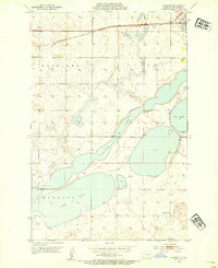
1952 · Dawson
USGS Topo · 1:24,000
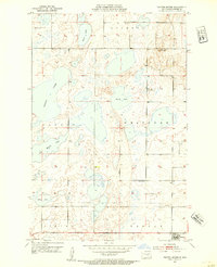
1952 · Tappen North
USGS Topo · 1:24,000
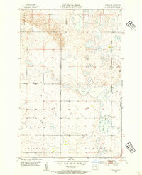
1952 · Steele NE
USGS Topo · 1:24,000

1953 · Jamestown
USGS Topo · 1:250,000

1956 · Jamestown
USGS Topo · 1:250,000
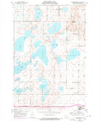
1975 · Tappen North
USGS Topo · 1:24,000
1979 · Kintyre NE
USGS Topo · 1:24,000