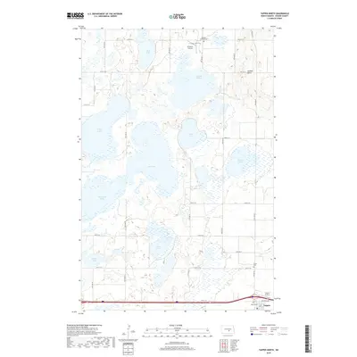
2018 Map of Tappen North
USGS Topo · Published 2018About this map
Sibley Lake and Mud Lake dominate this prairie landscape in Kidder County, where a complex system of sloughs and water bodies characterizes the northern plains. The settlement of Tappen sits at the southern edge of the map, serving as a focal point for the surrounding agricultural section lines. This 2018 survey reveals a terrain defined by glacial depressions, including Stony Lake and the McPhail Slough, which shape the local road grid. Local heritage is preserved in sites such as Buckeye Lutheran Cem and Fisher Cem, while the McPhail Butte provides a rare point of elevation among the low-lying wetlands. Small-scale aviation is represented by the M Bodvig Airstrip and Tappen Airstrip, highlighting the vast distances of this rural region.
Find a feature on this map
33 named features on this map. Tap any name to fly to it.
Don’t see what you’re looking for? This feature index may not catch every label — zoom into the map to look around manually.
Map Details
Editions of this 2018 Tappen North Map
This is the sole edition of this map. No revisions or reprints were ever made.
Other maps of this area
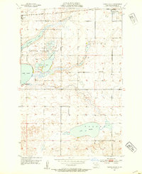
1952 · Tappen South
USGS Topo · 1:24,000
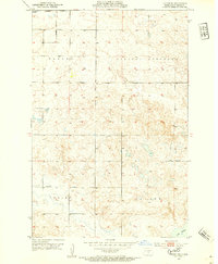
1952 · Tappen SE
USGS Topo · 1:24,000
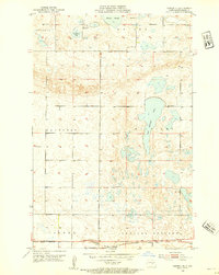
1952 · Tappen NE
USGS Topo · 1:24,000
1952 · Dawson
USGS Topo · 1:24,000
1952 · Tappen North
USGS Topo · 1:24,000
1952 · Steele NE
USGS Topo · 1:24,000
1952 · New Rockford
USGS Topo · 1:250,000

1953 · Jamestown
USGS Topo · 1:250,000
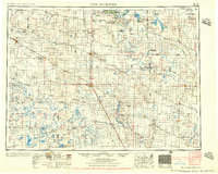
1956 · New Rockford
USGS Topo · 1:250,000

1956 · Jamestown
USGS Topo · 1:250,000