Old Maps of Ovid Township, North Dakota for Genealogy
Trace your family roots with 17 historic maps of Ovid Township. These high-res maps reveal old neighborhoods, homesites, landmarks, and streets — helping you uncover where your ancestors lived and how the area evolved over time.
- Explore historic neighborhoods: Identify where your relatives may have lived in the 1800s or 1900s.
- Compare maps over time: Trace the changes in streets, buildings, and landmarks for multi-generational research.
- Perfect for genealogy & ancestry research: Used by family historians and researchers to map out lineage and migration.
These maps are an incredible resource for exploring your personal connection to Ovid Township's past.
Ovid Township, ND maps
(17)- 1895 Map of Lamoure
 1895 Lamoure1895 Print · USGSSoutheastern North Dakota was a landscape of rapid rail expansion and river-based settlement in the mid-1890s. Genealogists and historians can trace the early foundations of towns like Lamoure, Oakes, and Grand Rapids along the winding James River.2 unique versions available
 - 1918 Map of La Moure
 1918 La Moure1918 Print · USGSSoutheastern North Dakota was a thriving rail and agricultural hub during the early twentieth century, as seen in this detailed 1918 survey. Researchers can trace the development of the James River corridor and locate early settlements like Grand Rapids, Oakes, and Port Emma.2 unique versions available
 - 1952 Map of Independence, 1954 Print
 1952 Independence1954 Print · USGSThe rural prairie of La Moure and Dickey Counties comes into focus in the early 1950s as the Northern Pacific railroad crosses the plains. Genealogists and local historians can trace the settlement of Independence and locate historic rural landmarks like School No 2 and the banks of the James River.
 - 1953 Map of Jamestown
 1953 Jamestown1953 Print · USGSSoutheastern North Dakota was a thriving rail and agricultural corridor in the early fifties, anchored by the James River. Researchers can trace the footprints of institutional landmarks like the North Dakota State Hospital and historic sites such as Whitestone Hill Battlefield Park.3 unique versions available
 - 1956 Map of Jamestown
 1956 Jamestown1956 Print · USGSThe James River valley and the vast alkali lake country of south-central North Dakota are captured here in the mid-fifties. Genealogists can trace family farms across several counties, locating small rail stops like Medberry and monuments like Whitestone Hill Battlefield Park.
 - 1970 Map of Verona, 1973 Print
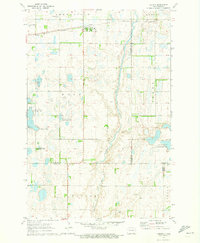 1970 Verona1973 Print · USGSNorth Dakota's southeastern prairie reveals a complex network of wetlands and rail-line settlements during the early 1970s. Researchers can trace the railroad corridor through Verona or locate family history at Pilgrims Rest Cem and St Raphael Cem.
 - 1986 Map of La Moure
 1986 La Moure1986 Print · USGSMid-century settlement patterns and water management define this stretch of the North Dakota prairie during the 1980s. Researchers can trace historic rail lines like the Soo Line or locate sites such as Whitestone Battlefield State Park and Ellendale.2 unique versions available
 - 2011 Map of Independence, 2011 Print
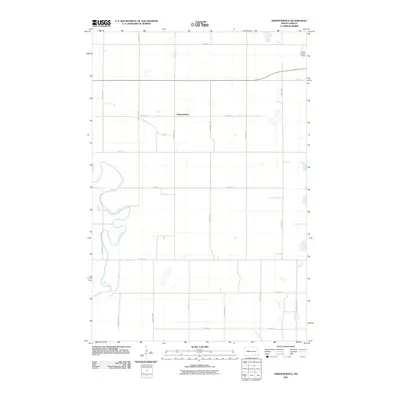 2011 Independence2011 Print · USGSLaMoure County in the early twenty-first century remains a landscape of traditional section-line farming and riverine curves. Genealogists and local historians can locate the rural settlement of Independence, trace the banks of the James River, or identify the Laney Landing Strip.
 - 2011 Map of Verona, 2011 Print
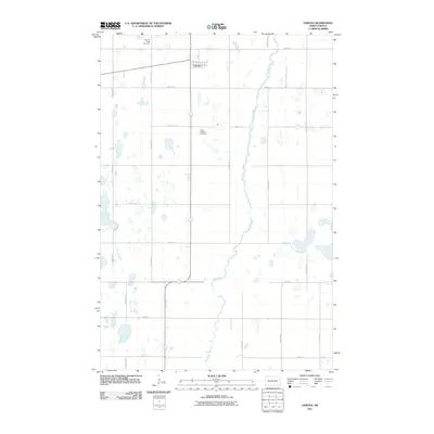 2011 Verona2011 Print · USGSThe rural landscape of LaMoure County is captured here in the early twenty-first century, centered on the small settlement of Verona. Genealogists and local historians can locate family burial plots at Pilgrims Rest Cemetery and Saint Raphael Cemetery or trace the winding course of Bear Creek.
 - 2014 Map of Independence, 2014 Print
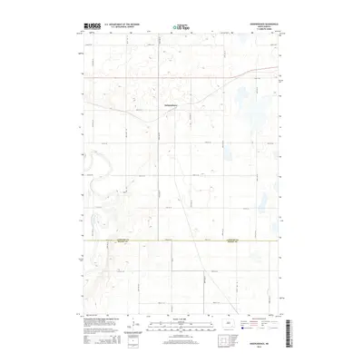 2014 Independence2014 Print · USGSThe prairie landscape of LaMoure and Dickey counties is captured here in the 2010s, showing the agricultural grid surrounding Independence. Researchers can trace the path of the James River and follow rural routes like CR-14 across the section lines.
 - 2014 Map of Verona, 2014 Print
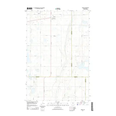 2014 Verona2014 Print · USGSThe village of Verona and the surrounding prairie lands appear here in the early twenty-first century. Genealogists and local researchers can trace family plots at Pilgrims Rest Cem and Saint Raphael Cem or follow the path of Bear Creek.
 - 2018 Map of Verona, 2018 Print
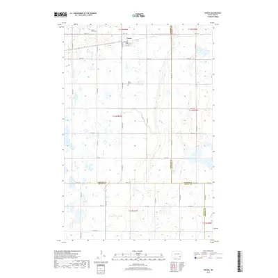 2018 Verona2018 Print · USGSVerona and the surrounding North Dakota prairie are captured here in the late twenty-teens as the landscape remains defined by its section-line roads and family heritage sites. Researchers can trace local roots at Pilgrims Rest Cem or follow the path of Bear Cr through the fields.
 - 2018 Map of Independence, 2018 Print
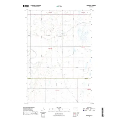 2018 Independence2018 Print · USGSThe rural township of Independence is captured here in the late twenty-tens, showing the intersection of local section roads and the meandering James River. Researchers can trace the agricultural grid along Co Rd 60 and the county line at 78th St SE.
 - 2020 Map of Verona, 2020 Print
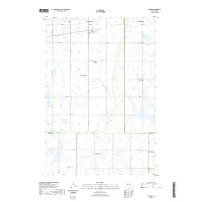 2020 Verona2020 Print · USGSLaMoure County and the surrounding prairie lands are captured here in the early twenty-first century. Genealogists and researchers can trace local family history through Our Lady of Sorrows Catholic Cem and the settlement of Verona.
 - 2020 Map of Independence, 2020 Print
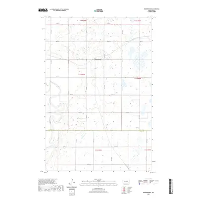 2020 Independence2020 Print · USGSNorth Dakota's prairie landscape is captured here in the contemporary era, centered on the small settlement of Independence. Researchers can trace the winding James River and the local grid of roads from 72nd St SE to 80th St SE.
 - 2024 Map of Verona, 2024 Print
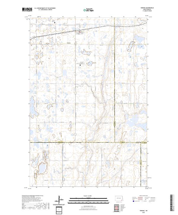 2024 Verona2024 Print · USGSLaMoure County at the start of the 2020s shows a landscape defined by prairie agriculture and extensive wetland conservation. Researchers can locate Verona and trace family roots at Pilgrims Rest Cem or Our Lady of Sorrows Catholic Cem along Bear Creek.
 - 2024 Map of Independence, 2024 Print
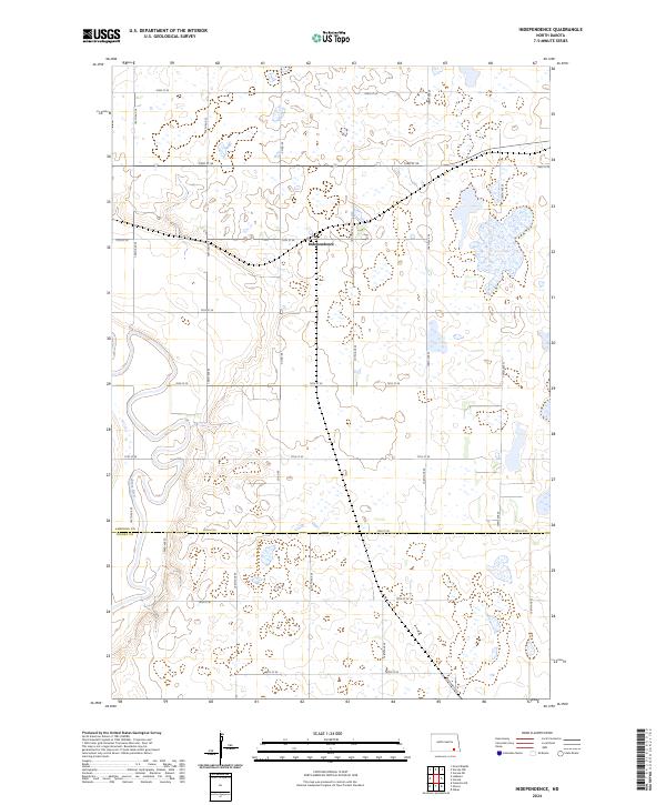 2024 Independence2024 Print · USGSLaMoure County's prairie landscape is captured here in the early twenty-first century, showing the rural community of Independence and the surrounding wetlands. Genealogists and researchers can trace the winding James River and numerous parcels of the LaMoure County Waterfowl Production Area.
End of results
Showing maps 1-17 of 17
Top cities near Ovid Township
- Oakes historical maps
- LaMoure historical maps
- Clement Township historical maps
- Verona historical maps
- Fort Ransom historical maps
Frequently asked questions
- What are the different types of historical maps available for Ovid Township?
- What is the oldest map of Ovid Township?
- Where can I purchase historical maps of Ovid Township for my home or office?
- Where can I download high-res historical maps of Ovid Township?
- Are there historical topographic maps available for Ovid Township?
- Is there historical aerial imagery available for Ovid Township?
- Where are historical maps of Ovid Township sourced from?